Cedar Rapids in Linn County, Iowa — The American Midwest (Upper Plains)
St. Joseph Church
History happened here!

Photographed by Mark Parker, June 25, 2024
1. St. Joseph Church Marker
St. Joseph Church, also known as Starks Settlement Church, was built five miles Northwest of Fairfax in 1880 but closed in 1959. The five main pioneers for building the Church were Andrew Stark, Firman Lucas, Chris Wieneke, Nicholas Stark, and Frank Vjos (now spelled Voss). Also in 1880, those same early setters raised $50.00 among themselves and bought a few acres one half mile to the southwest of the Church for a cemetery. St Joseph Cemetery was sold to the Archdiocese of Dubuque in 1914 and consisted of 2 and 2/160th acres at that time but after additional land was purchased in 1975, it now consists of 68 acres. The cemetery spans to Highway 30 and much of the ground is still farmland. St. Joseph Cemetery remains an active cemetery for Cedar Rapids and the surrounding area.
O Blessed Joseph, you gave your last breath in the loving embrace of Jesus and Mary. When the seal of death shall close my life, come with Jesus and Mary to aid me. Obtain for me this solace for that hour-to die with their holy arms around me. Jesus, Mary, and Joseph, I commend my soul, living and dying, into your sacred arms. Amen
Erected by Teahen
this page online
Topics. This historical marker is listed in these topic lists: Cemeteries & Burial Sites • Religion & Religious Structures • Settlements & Settlers. A significant historical year for this entry is 1880.
Location. 41° 58.183′ N, 91° 48.877′ W. Marker is in Cedar Rapids, Iowa, in Linn County. It is on Sisley Grove Road Southwest 0.4 miles north of Lincoln Highway (U.S. 30), on the left when traveling north. Location of the marker is St. Joseph Cemetery. Touch for map. Marker is at or near this postal address: 973 Sisley Grove Rd SW, Cedar Rapids IA 52404, United States of America. Touch for directions.

Regionally, this marker is in Eastern Iowa. It is also in the American Midwest and in the Corn Belt. Globally, it is in North America, the Western Hemisphere, the Western World, and the Anglosphere. Historically, it finds itself in what was once the territory of the Mississippian Culture and also the Louisiana Purchase.
Other nearby markers. At least 8 other markers are within 8 miles of this marker, measured as the crow flies: Historical Tablet (approx. 7.3 miles away); a different marker also named Historical Tablet
Photographed by Mark Parker, June 25, 2024
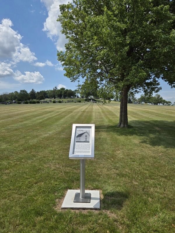
2. St. Joseph Church Marker looking uphill to St. Joseph Cemetery
More about this marker. Travelling north from US 30, take the first left into the cemetery property. The marker stand is at the "Y" split before ascending the hill to the cemetery.
Credits. This page was last revised on December 5, 2024. It was originally submitted on July 13, 2024, by Mark Parker of Hickory, North Carolina. This page has been viewed 606 times since then and 104 times this year. Photos: 1, 2. submitted on July 13, 2024, by Mark Parker of Hickory, North Carolina. • J. Makali Bruton was the editor who published this page.
