
Conimicut in Warwick in Kent County, Rhode Island — The American Northeast (New England)
Conimicut Shoals Lighthouse
Listed on the National Register of Historic Places
| — | March 30, 1988 | — |
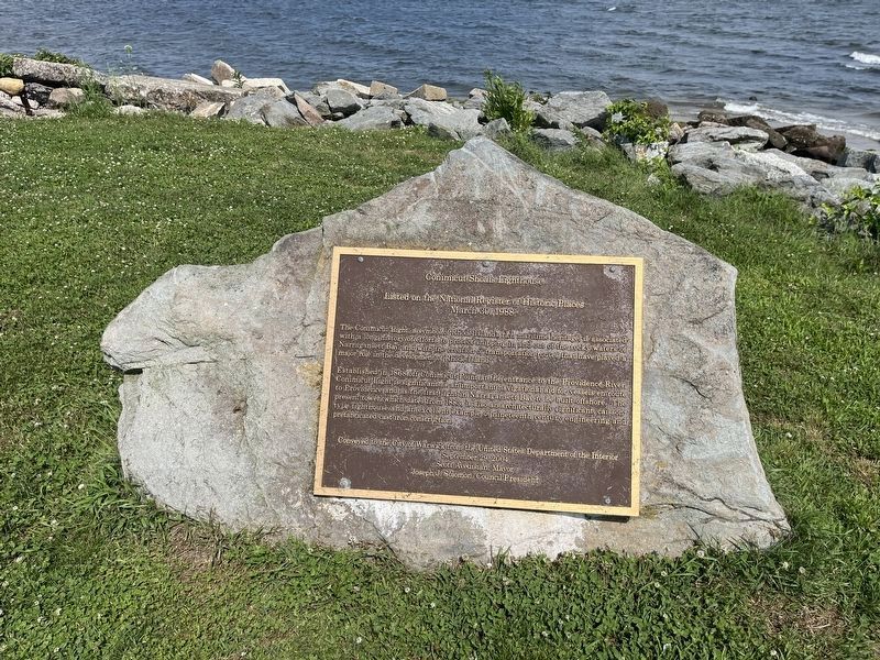
The Conimicut Light, a symbolic Rhode Island's rich maritime heritage is associated with a long history of efforts to protect shipping in and out of the rocky waters of Narragansett Bay, and with the creation of transportation routes that have played a major role in the development of Rhode Island.
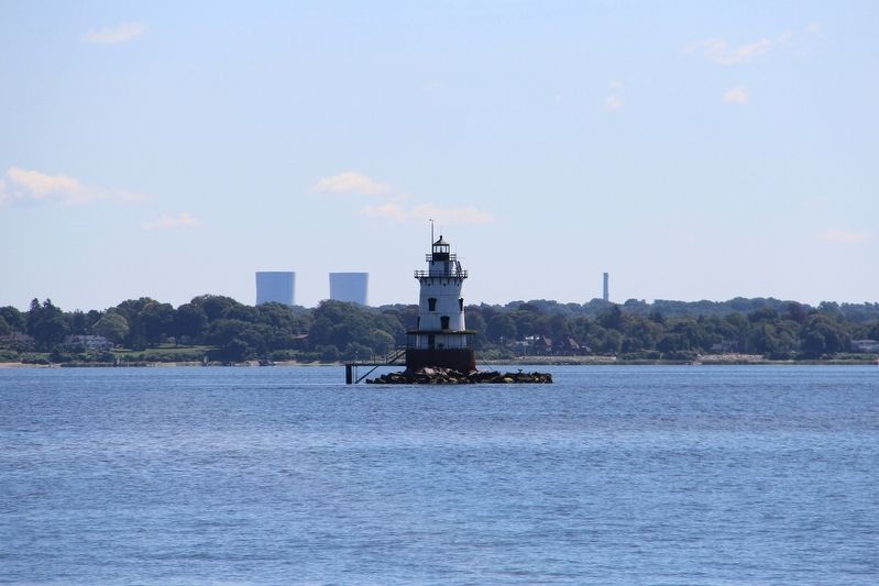
Established in 1866 off Conimicut Point at the entrance to the Providence River, Conimicut Light is a significant as an important navigational aid for vessels en route to Providence and as the first light in Narragansett Bay to be built offshore. The present tower, which dates from 1883, is also an architecturally significant, caisson-type lighthouse and as an excellent example of nineteenth century engineering and prefabricated cast iron construction.
September 29, 2004
Scott Avedisian, Mayor
Joseph J. Solomon, Council President
Erected 2004 by City of Warwick, Rhode Island.
Topics and series. This historical marker is listed in these topic lists: Architecture • Communications • Waterways & Vessels. In addition,
this page online
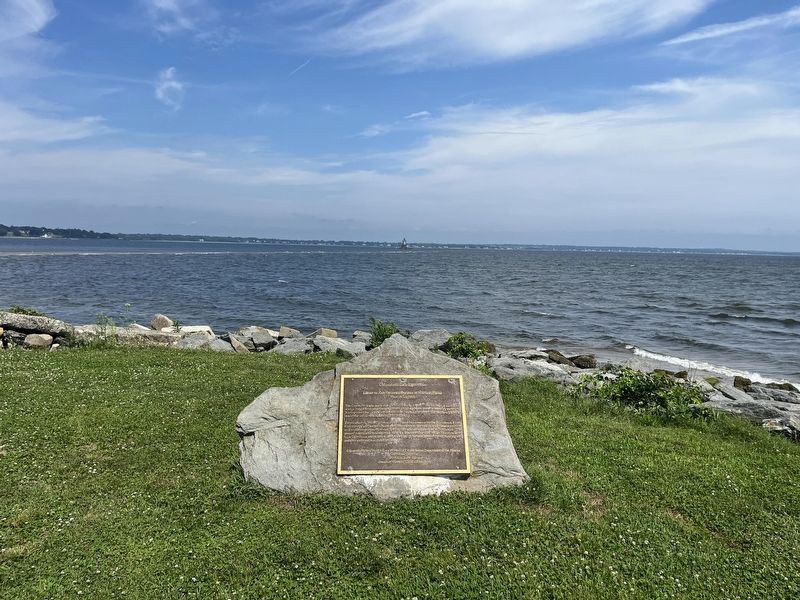
Location. 41° 43.028′ N, 71° 21.469′ W. Marker is in Warwick, Rhode Island, in Kent County. It is in Conimicut. It is on Point Avenue 0.2 miles east of Elgin Street, on the right when traveling east. Touch for map. Marker is at or near this postal address: 1 Point Ave, Warwick RI 02889, United States of America. Touch for directions.

Regionally, this marker is in Greater Providence and on Narragansett Bay. It is also in the American Northeast, in New England, and on the Eastern Seaboard. Globally, it is in the North Atlantic Region, North America, the Western Hemisphere, the Western World, and the Anglosphere. Historically, it finds itself in what was once one of the original Thirteen Colonies.
Other nearby markers. At least 8 other markers are within 2 miles of this marker, measured as the crow flies: Conimicut Lighthouse (within shouting distance of this marker); Welcome to Sowams Woods (approx. 1.6 miles away); Rocky Point and Baseball (approx. 1.9 miles away); The Circle Swing (approx. 1.9 miles away); The Shore Dinner Hall
Credits. This page was last revised on July 13, 2024. It was originally submitted on July 13, 2024, by Devry Becker Jones of Washington, District of Columbia. This page has been viewed 141 times since then and 12 times this year. Photos: 1, 2. submitted on July 13, 2024, by Devry Becker Jones of Washington, District of Columbia. 3. submitted on May 20, 2022, by Duane and Tracy Marsteller of Murfreesboro, Tennessee.
