
Bolivar in Polk County, Missouri — The American Midwest (Upper Plains)
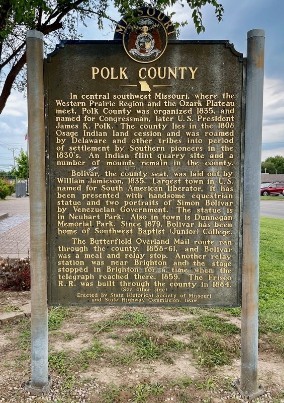
Polk County
Photographed by Mark Hilton, July 12, 2024
1. Polk County Marker
Bolivar, the county seat, was laid out by William Jamieson, 1835. Largest town in U.S. named for South American liberator, it has been presented with handsome equestrian statue and two portraits of Simon Bolivar by Venezuelan Government. the statue is in Neuhart Park. Also in town is Dunnegan Memorial Park. Since 1879, Bolivar has been home of Southwest Baptist (Junior) College.
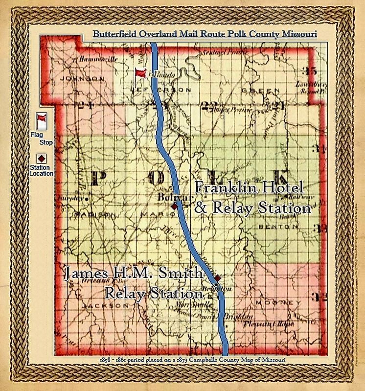
The Butterfield Overland Mail route ran through the county, 1858-61, and Bolivar was a meal and relay stop. Another relay station was near Brighton and the stage stopped in Brighton for a time when the telegraph reached there, 1859. The Frisco R.R. was built through the county in 1884.
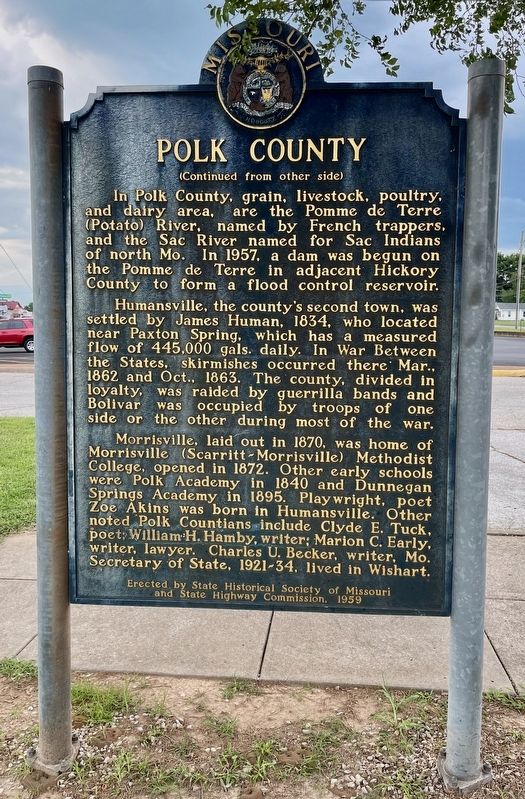
In Polk County grain, livestock, poultry, and dairy
this page online
Humansville, the country's second town, was settled by James Human, 1834, who located near Paxton Spring, which has a measured flow of 445,000 gals. daily. In War Between the States, skirmishes occurred there Mar., 1862 and Oct., 1863. The county, divided in loyalty, was raided by guerrilla bands and Bolivar was occupied by troops of one side or the other during most of the war.
Morrisville, laid out in 1870, was home of Morrisville (Scarritt-Morrisville) Methodist College, opened in 1872. Other early schools were Polk Academy in 1840 and Dunnegan Springs Academy in 1895. Playwright, poet Zoe Akins was born in Humansville. Other noted Polk Countians include Clyde E. Tuck, poet; William H. Hamby, writer; Marion C. Early, writer, lawyer. Charles U. Becker, writer, Mo. Secretary of State, 1921-34, lived in Wishart.
Erected 1959 by State Historical Society of Missouri and State Highway Commission.
Photographed by Mark Hilton, July 12, 2024
2. Polk County Marker (reverse)
Topics and series. This historical marker is listed in these topic lists: Indigenous Peoples and Communities • Settlements & Settlers. In addition, it is included in the Former U.S. Presidents: #11 James K. Polk series list. A significant historical month for this entry is March 1862.
Location. 37° 36.402′ N, 93° 24.45′ W. Marker is in Bolivar, Missouri, in Polk County. It is at the intersection of East College Street and South Springfield Avenue (State Route 83), on the left when traveling east on East College Street. Located in Neuhart Park. Touch for map. Marker is at or near this postal address: 711 S Springfield Ave, Bolivar MO 65613, United States of America. Touch for directions.

Regionally, this marker is in South-Central Missouri and in Greater Springfield. It is also in the American Ozarks, in the Lewis & Clark Corridor, and in the Corn Belt. Globally, it is in North America, the Western Hemisphere, the Western World, and the Anglosphere. Historically, it finds itself in what was once the territory of the Mississippian Culture, the Louisiana Purchase, and the Antebellum South.
Other nearby markers. At least 6 other
Photographed by Mark Hilton, July 12, 2024
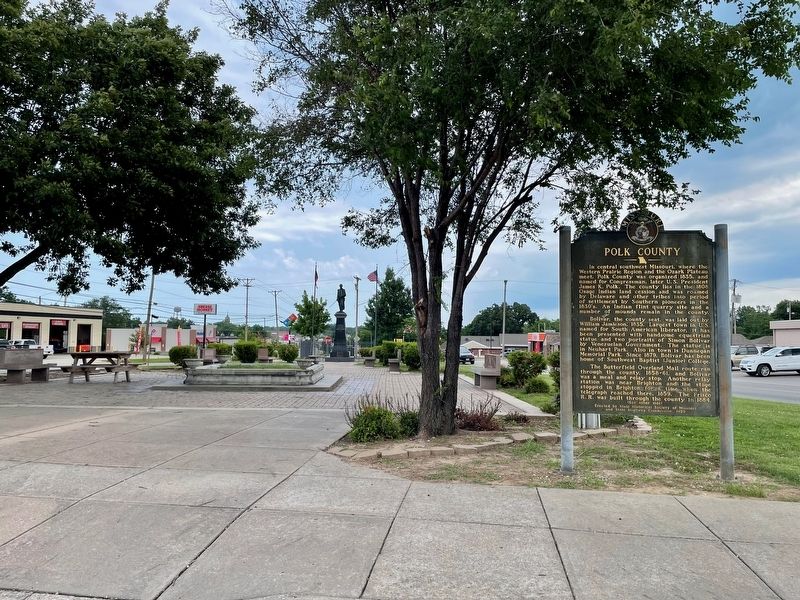
3. Polk County Marker with statue of Simon Bolivar in background at Neuhart Park.
Regarding Polk County. Updates to information on marker: Southwest Baptist College became an accredited four-year college in 1965. In 1981 the school changed its name to Southwest Baptist University.
Charles U. Becker served as Missouri Secretary of State from 1921 until 1933.
Also see . . . Wikipedia article on Polk County, Missouri. (Submitted on July 13, 2024, by Mark Hilton of Montgomery, Alabama.)
Photographed by Mark Hilton, July 12, 2024
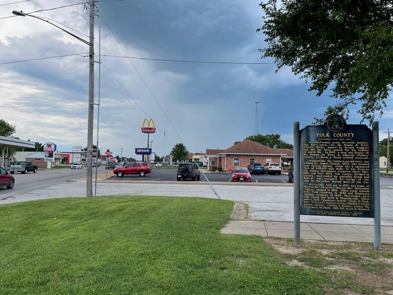
4. Looking south from the marker onto Springfield Ave.
Photographed by Gregory William Wadley
5. 1874 Campbell's Map of the County
Credits. This page was last revised on October 27, 2024. It was originally submitted on July 13, 2024, by Mark Hilton of Montgomery, Alabama. This page has been viewed 1,079 times since then and 244 times this year. Photos: 1, 2, 3, 4. submitted on July 13, 2024, by Mark Hilton of Montgomery, Alabama. 5. submitted on October 26, 2024, by Gregory William Wadley of Fremont Hills, Missouri.
