
Fremont in Dodge County, Nebraska — The American Midwest (Upper Plains)
Overland Trail
Photographed by Mark Parker, June 26, 2024
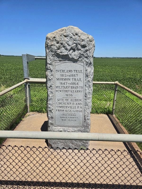
1. Overland Trail Marker
Overland Trail 1813 to 1867
Mormon Trail 1847 to 1864
Military Road to New Fort Kearny 1856
Site of Albion, Lincoln P.O. and Timberville P.O. from 1856 to 1868
Erected 1928 by Dodge County.
Topics. This historical marker is listed in this topic list: Roads & Vehicles. A significant historical year for this entry is 1813.
Location. 41° 27.096′ N, 96° 36.891′ W. Marker is in Fremont, Nebraska, in Dodge County. It is on Old Lincoln Highway (Old U.S. 30) 0.1 miles east of Timberwood Drive, on the right when traveling west. Touch for map. Marker is at or near this postal address: 1610 Old Lincoln Hwy, Ames NE 68621, United States of America. Touch for directions.

Regionally, this marker is in Eastern Nebraska and in Greater Omaha. It is also in the American Midwest, in the Corn Belt, and on the prairies. Globally, it is in North America, the Western Hemisphere, the Western World, and the Anglosphere. Historically, it finds itself in what was once the Louisiana Purchase.
Other nearby markers. At least 8 other markers are within 7 miles of this marker, measured as the crow flies: The Great Platte River Route West
this page online
Another marker is no longer nearby. Overland Emigrant Trails (was approx. 6.3 miles away but has been permanently removed).
Photographed by Mark Parker, June 26, 2024
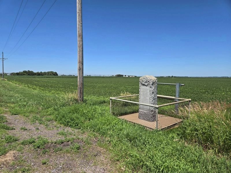
2. Overland Trail Marker
This view is looking northwest from the marker.
Photographed by Mark Parker, June 26, 2024
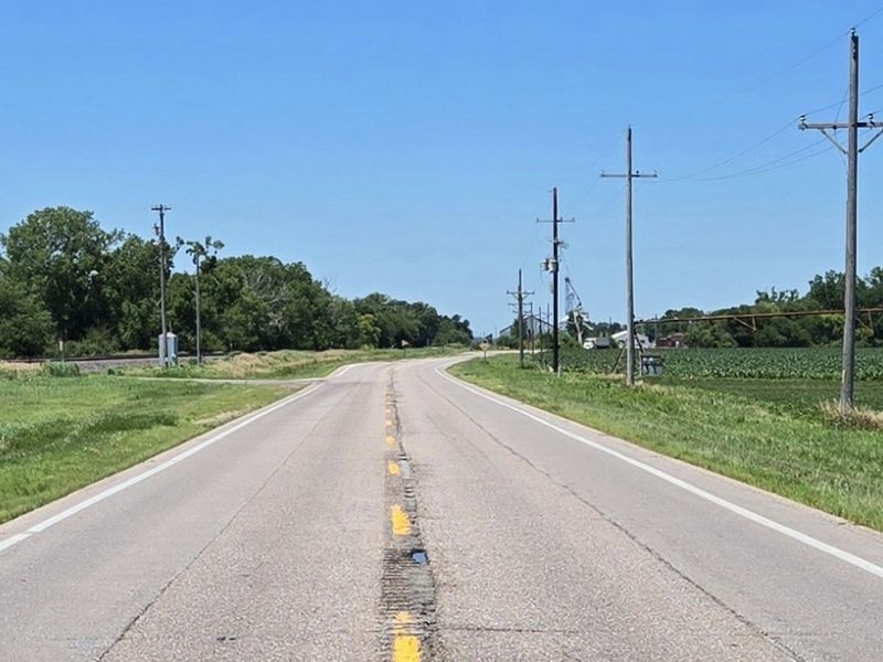
3. Looking west along Old Lincoln Highway towards closest crossroad at Timberwood Drive
Credits. This page was last revised on December 20, 2024. It was originally submitted on July 14, 2024, by Mark Parker of Hickory, North Carolina. This page has been viewed 401 times since then and 56 times this year. Photos: 1, 2, 3. submitted on July 14, 2024, by Mark Parker of Hickory, North Carolina. • J. Makali Bruton was the editor who published this page.
