Newport News, Virginia — The American South (Mid-Atlantic)
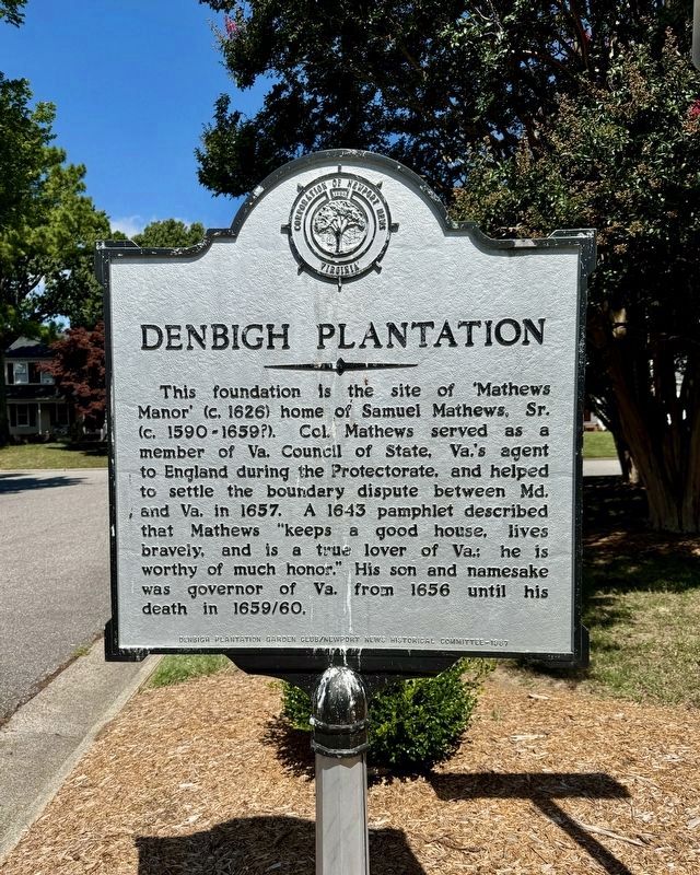
Denbigh Plantation
Photographed by Brandon D Cross
1. Denbigh Plantation Marker
Erected 1987 by Denbigh Plantation Garden Club/Newport News Historical Committee.
Topics. This historical marker is listed in these topic lists: Colonial Era • Settlements & Settlers. A significant historical year for this entry is 1626.
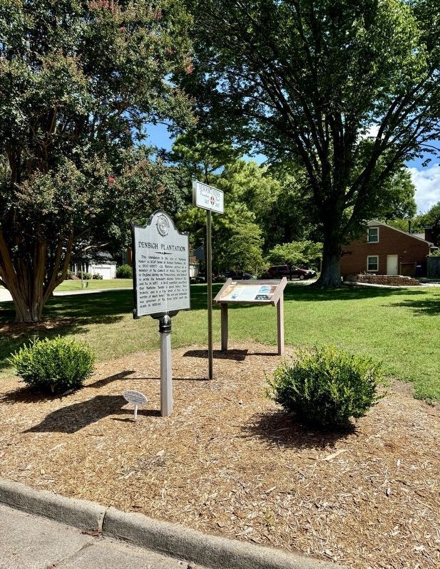
Location. 37° 5.399′ N, 76° 32.332′ W. Marker is in Newport News, Virginia. It is at the intersection of Manor Place and Blacksmythe Lane, on the left when traveling east on Manor Place. The marker stands adjacent to Mathews Manor foundation. Touch for map. Marker is at or near this postal address: 99 Manor Place, Newport News VA 23602, United States of America. Touch for directions.

Regionally,
this page online
Other nearby markers. At least 8 other markers are within 2 miles of this marker, measured as the crow flies: Mathews Manor (here, next to this marker); Warwick Town (approx. 0.6 miles away); Young’s Mill (approx. 1.8 miles away); a different marker also named Young’s Mill (approx. 1.8 miles away); First Peninsula Defense Line (approx. 1.8 miles away); a different marker also named Young’s Mill (approx. 1.8 miles away); Mathews Mill (approx. 1.8 miles away); Providence Mennonite Church (approx. 1.8 miles away). Touch for a list and map of all markers in Newport News.
Also see . . . Newport News: Denbigh Plantation.
Photographed by Brandon D Cross
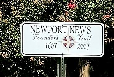
2. Newport News
1607 - 2007
Photographed by Brandon D Cross
3. Denbigh Plantation Marker
Credits. This page was last revised on July 25, 2025. It was originally submitted on July 14, 2024, by Brandon D Cross of Flagler Beach, Florida. This page has been viewed 686 times since then and 70 times this year. Photos: 1, 2, 3. submitted on July 14, 2024, by Brandon D Cross of Flagler Beach, Florida. • Bernard Fisher was the editor who published this page.
