Springfield in Greene County, Missouri — The American Midwest (Upper Plains)
Silver Springs Park
Photographed by Duane and Tracy Marsteller, June 29, 2024
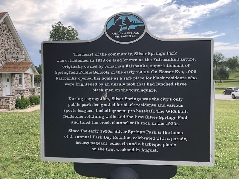
1. Silver Springs Park Marker
During segregation, Silver Springs was the city's only public park designated for black residents and various sports leagues, including semi-pro baseball. The WPA built fieldstone retaining walls and the first Silver Springs Pool, and lined the creek channel with rock in the 1930s.
Since the early 1950s, Silver Springs Park is the home of the annual Park Day Reunion, celebrated with a parade, beauty pageant, concerts and a barbeque picnic on the first weekend in August.
Erected by Springfield-Greene County African American Heritage Trail.
Topics. This historical marker is listed in these topic lists: African Americans • Parks & Recreational Areas. A significant historical year for this entry is 1918.
Location. 37° 13.298′ N, 93° 16.681′ W.
this page online

Regionally, this marker is in the American Ozarks, in the Lewis & Clark Corridor, and in the Corn Belt. Globally, it is in North America, the Western Hemisphere, the Western World, and the Anglosphere. Historically, it finds itself in what was once the territory of the Mississippian Culture, the Louisiana Purchase, and the Antebellum South.
Other nearby markers. At least 8 other markers are within walking distance of this marker: First Church In Greene County (about 800 feet away, measured in a direct line); Lincoln School (approx. 0.4 miles away); Bentley House (approx. 0.4 miles away); Indian Mounds (approx. 0.4 miles away); Tau Eta Gamma (local) (approx. half a mile away); Fairbanks Hall (approx. half a mile away); Civil War Entrenchments (approx.
Photographed by Duane and Tracy Marsteller, June 29, 2024
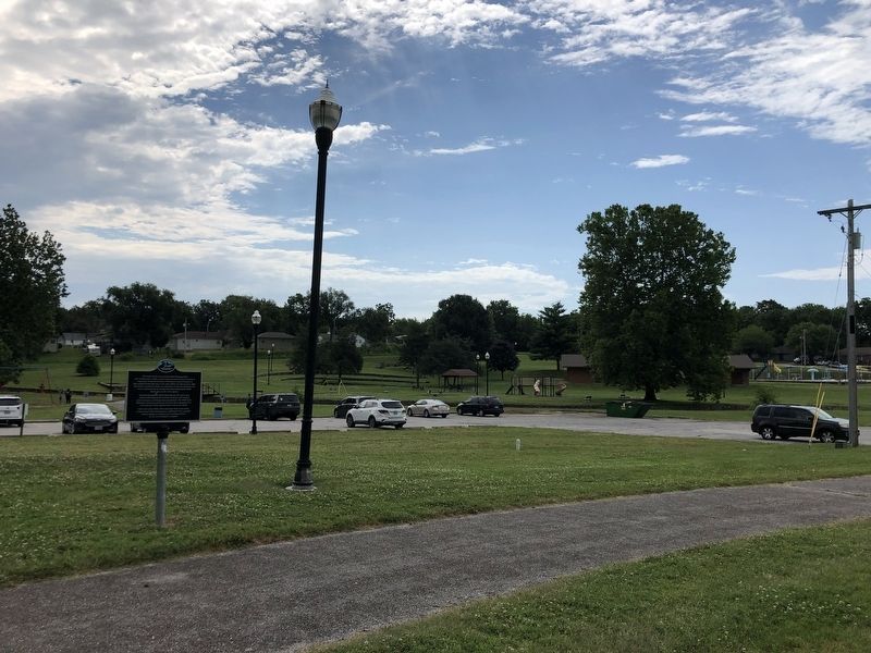
2. Silver Springs Park Marker
Photographed by Duane and Tracy Marsteller, June 29, 2024
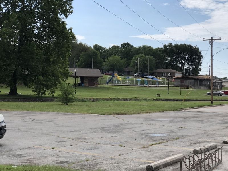
3. View of Silver Springs Park
Credits. This page was last revised on July 14, 2024. It was originally submitted on July 14, 2024, by Duane and Tracy Marsteller of Murfreesboro, Tennessee. This page has been viewed 152 times since then and 22 times this year. Photos: 1, 2, 3. submitted on July 14, 2024, by Duane and Tracy Marsteller of Murfreesboro, Tennessee.
