
Clearfield in Clearfield County, Pennsylvania — The American Northeast (Mid-Atlantic)
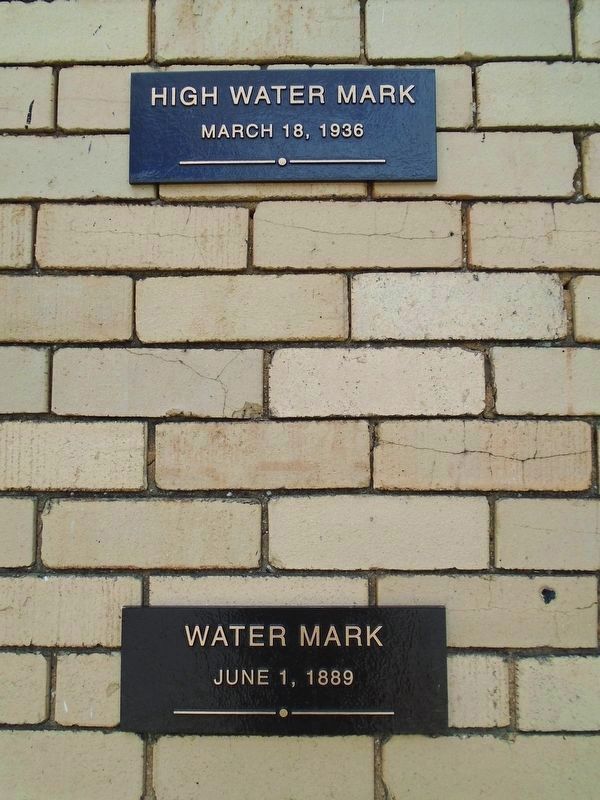
High Water Marks
Photographed by William Fischer, Jr., July 12, 2024
1. High Water Marks Markers
March 18, 1936
Water Mark
June 1, 1889
Erected by Clearfield County Historical Society.
Topics. This historical marker is listed in these topic lists: Disasters • Settlements & Settlers • Waterways & Vessels. A significant historical date for this entry is March 18, 1936.
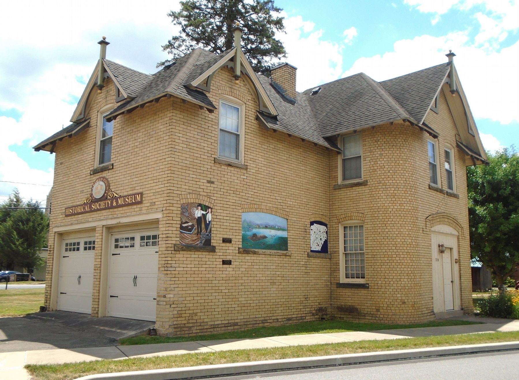
Location. 41° 1.496′ N, 78° 26.354′ W. Marker is in Clearfield, Pennsylvania, in Clearfield County. It is on Front Street (Pennsylvania Route 153) north of Pine Street, on the left when traveling south. High water marks are on the Carriage House wall, adjacent to the Bigler House, home of the Clearfield County Historical Society. Touch for map. Marker is at or near this postal address: 104 East Pine Street, Clearfield PA 16830, United States of America. Touch for directions.

Regionally, this marker is in the Pennsylvania Wilds. It is also in the American Northeast, in the Mid-Atlantic, in Appalachia, and specifically in Northern Appalachia. Globally, it is in North America, the Western Hemisphere, the Western World, and the Anglosphere. Historically, it finds itself in what was once the Haudenosaunee (Iroquois) Confederacy
this page online
Other nearby markers. At least 8 other markers are within walking distance of this marker: West Branch Timber to Market 1840s-1907 (a few steps from this marker); Cast of Trunk from Prehistoric Tree (within shouting distance of this marker); West Branch Eel & Shad Migration (within shouting distance of this marker); Clearfield County Bicentennial Raft (within shouting distance of this marker); Bigler House (within shouting distance of this marker); Clearfield County (within shouting distance of this marker); Clearfield County Historical Society (within shouting distance of this marker); Old Town Historic District (within shouting distance of this marker). Touch for a list and map of all markers in Clearfield.
Photographed by William Fischer, Jr., July 12, 2024
2. High Water Marks on Carriage House
Credits. This page was last revised on July 14, 2024. It was originally submitted on July 14, 2024, by William Fischer, Jr. of Reynoldsburg, Ohio. This page has been viewed 390 times since then and 20 times this year. Photos: 1, 2. submitted on July 14, 2024, by William Fischer, Jr. of Reynoldsburg, Ohio.
