Near Holdrege in Phelps County, Nebraska — The American Midwest (Upper Plains)
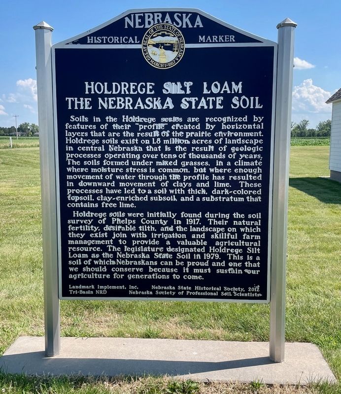
Holdrege Silt Loam - The Nebraska State Soil
Photographed by Mark Hilton, July 10, 2024
1. Holdrege Silt Loam - The Nebraska State Soil Marker
Holdrege soils were initially found during the soil survey of Phelps County in 1917. Their natural fertility, desirable tilth, and the landscape on which they exist join with irrigation and skillful farm management to provide a valuable agricultural resource. The legislature designated Holdrege Silt Loam as the Nebraska State Soil in 1979. This is a soil of which Nebraskans can be proud and one that we should conserve because it must sustain our agriculture for generations to come.
Erected 2012
this page online
Topics and series. This historical marker is listed in this topic list: Agriculture. In addition, it is included in the Nebraska State Historical Society series list. A significant historical year for this entry is 1917.
Location. 40° 27.728′ N, 99° 22.777′ W. Marker is near Holdrege, Nebraska, in Phelps County. It is on Burlington Street 0.3 miles north of West Twenty-Fifth Avenue, on the left when traveling north. Located at the Nebraska Prairie Museum. Touch for map. Marker is at or near this postal address: 2701 Burlington St, Holdrege NE 68949, United States of America. Touch for directions.

Regionally, this marker is in Eastern Nebraska. It is also in the American Midwest, in the Corn Belt, and on the prairies. Globally, it is in North America, the Western Hemisphere, the Western World, and the Anglosphere. Historically, it finds itself in what was once the Louisiana Purchase.
Other nearby markers. At least 7 other markers are within 13 miles of this marker, measured as the crow flies: Phelps County
Photographed by Mark Hilton, July 10, 2024
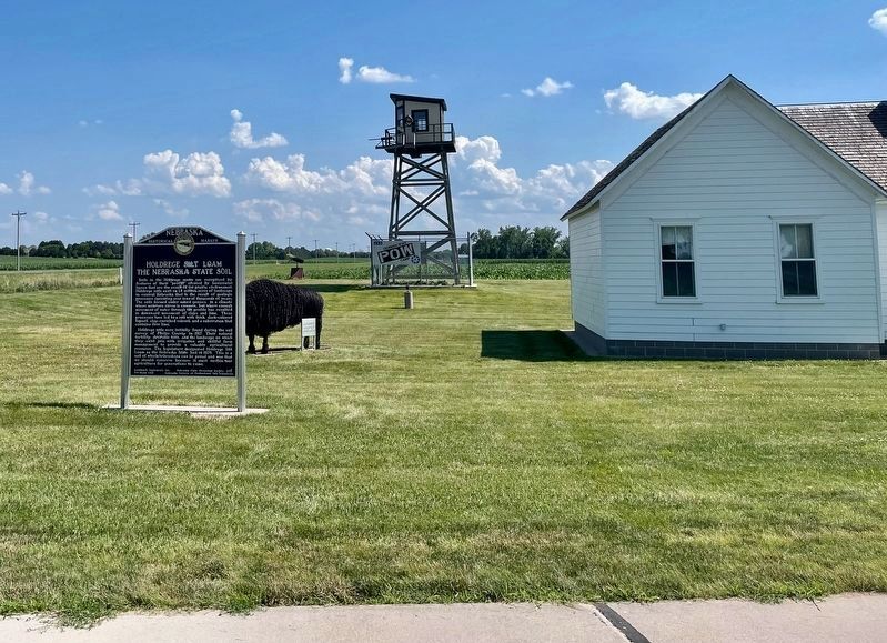
2. Holdrege Silt Loam - The Nebraska State Soil Marker
Replica POW Camp Guard Tower in background.
Photographed by Mark Hilton, July 10, 2024
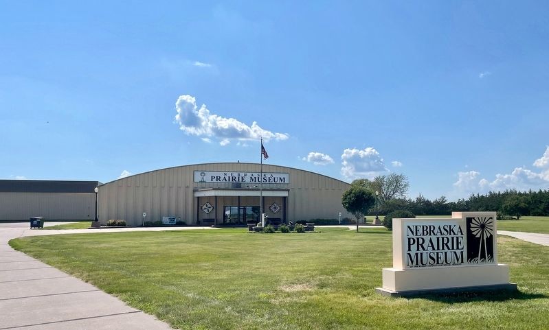
3. Marker is located at the Nebraska Prairie Museum.
Credits. This page was last revised on July 14, 2024. It was originally submitted on July 14, 2024, by Mark Hilton of Montgomery, Alabama. This page has been viewed 405 times since then and 52 times this year. Photos: 1, 2, 3. submitted on July 14, 2024, by Mark Hilton of Montgomery, Alabama.
