Rulo in Richardson County, Nebraska — The American Midwest (Upper Plains)
Missouri River
Photographed by Mark Hilton, July 11, 2024
1. Missouri River Marker
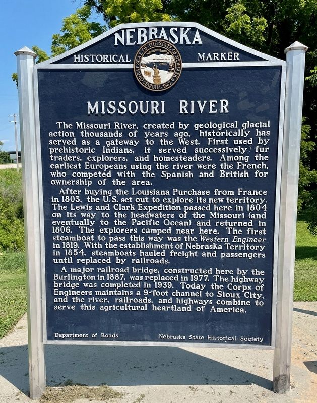
After buying the Louisiana Purchase from France in 1803, the U.S. set out to explore its new territory. The Lewis and Clark Expedition passed here in 1804 on its way to the headwaters of the Missouri (and eventually to the Pacific Ocean) and returned in 1806. The explorers camped near here. The first steamboat to pass this way was the Western Engineer in 1819. With the establishment of Nebraska Territory in 1854, steamboats hauled freight and passengers until replaced by railroads.
A major railroad bridge, constructed here by the Burlington in 1887, was replaced in 1977. The highway bridge was completed in 1939. Today the Corps of Engineers maintains a 9-foot channel to Sioux City, and the river, railroads, and highways combine to serve this agricultural heartland
this page online
Erected by Department of Roads, Nebraska State Historical Society. (Marker Number 238.)
Topics and series. This historical marker is listed in these topic lists: Exploration • Railroads & Streetcars • Waterways & Vessels. In addition, it is included in the Lewis & Clark Expedition, and the Nebraska State Historical Society series lists. A significant historical year for this entry is 1803.
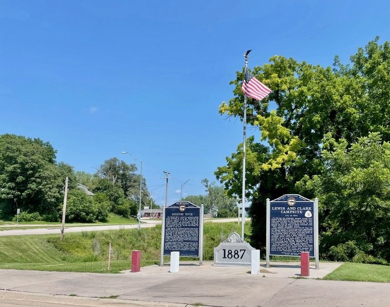
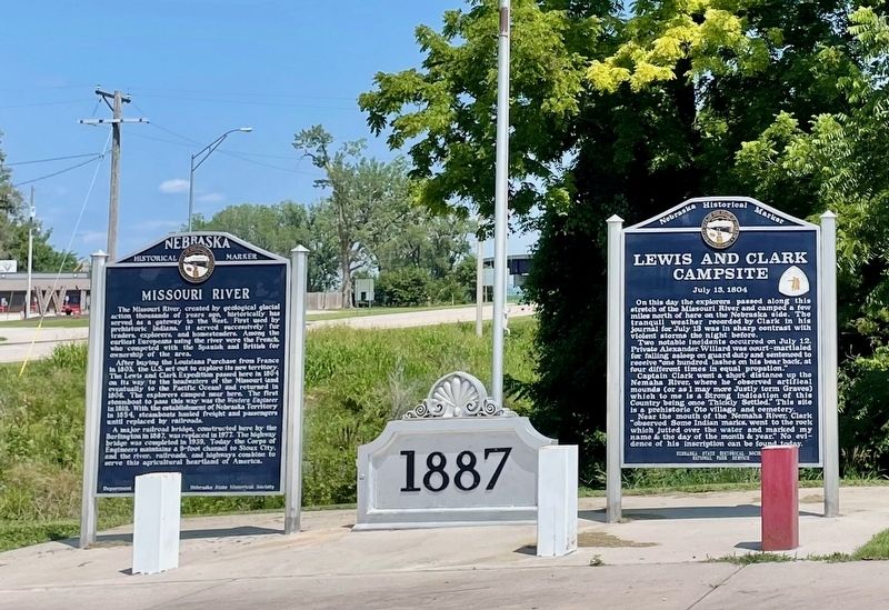
Location. 40° 3.097′ N, 95° 25.596′ W. Marker is in Rulo, Nebraska, in Richardson County. It is on 1st Street south of Stutsman Street (U.S. 159), on the left when traveling south. Touch for map. Marker is at or near this postal address: 87 1st St, Rulo NE 68431, United States of America. Touch for directions.

Regionally, this marker is in Eastern Nebraska. It is also in the American Midwest, in the Lewis & Clark Corridor, in the Corn Belt, and on the prairies. Globally, it is in North America, the Western Hemisphere, the Western World, and the Anglosphere. Historically, it finds itself in what was once the Louisiana Purchase.
Other nearby markers. At least 8 other markers are within 7 miles of this marker, measured
Photographed by Mark Hilton, July 11, 2024
2. Missouri River Marker
Photographed by Mark Hilton, July 11, 2024
3. Missouri River Marker
Credits. This page was last revised on July 23, 2024. It was originally submitted on July 15, 2024, by Mark Hilton of Montgomery, Alabama. This page has been viewed 177 times since then and 28 times this year. Photos: 1, 2, 3. submitted on July 15, 2024, by Mark Hilton of Montgomery, Alabama.
