Near Amsterdam in Montgomery County, New York — The American Northeast (Mid-Atlantic)
The Last Improvements
Schoharie Crossing
| — | State Historic Site | — |
Photographed by Steve Stoessel, July 14, 2024
1. The Last Improvements Marker
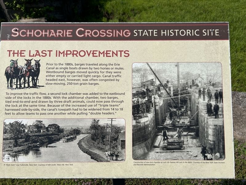
Prior to the 1880s, barges traveled along the Erie Canal as single boats drawn by two horses or mules. Westbound barges moved quickly for they were either empty or carried light cargo. Canal traffic headed east, however, was often congested by slow-moving, 250-ton grain barges.
To improve the traffic flow, a second lock chamber was added to the eastbound side of the locks in the 1880s. With the additional chamber, two barges, tied end-to-end and drawn by three draft animals, could now pass through the lock at the same time. Because of the increased use of "triple teams" harnessed side-by-side, the canal's towpath had to be widened from 14 to 18 feet to allow teams to pass one another while pulling "double headers."
[Captions:]
A "triple team" near Fultonville, New York.
Construction of new lock chamber at Lock 28-Yankee Hill Lock in the 1880s.
Topics. This historical marker is listed in this topic list: Waterways & Vessels.
Location. 42° 57.173′ N, 74° 14.303′ W. Marker is near Amsterdam, New York, in Montgomery County. It can be reached from the intersection of
this page online

Regionally, this marker is in Upstate New York and in the Mohawk Valley. It is also in the American Northeast and in the Mid-Atlantic. Globally, it is in North America, the Western Hemisphere, the Western World, and the Anglosphere. Historically, it finds itself in what was once the Haudenosaunee (Iroquois) Confederacy, New Netherland, and one of the original Thirteen Colonies.
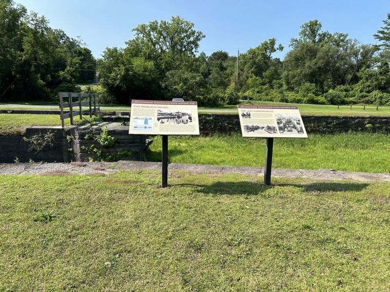
Other nearby markers. At least 8 other markers are within walking distance of this marker: Two Problems Solved (here, next to this marker); Putman's Lock Grocery (within shouting distance of this marker); Lock 28 - Yankee Hill Lock (within shouting distance of this marker); Schoharie Crossing (within shouting distance of this marker); Barge Canal (within shouting distance of this marker); Canal Culverts (within shouting distance of this marker); Fort Johnson, 1749 (approx. 0.3 miles away); a different marker also named Fort Johnson (approx. 0.3 miles away).
Photographed by Steve Stoessel, July 14, 2024
2. The Last Improvements Marker
Also see . . .
1. Schoharie Crossing (Wikipedia). (Submitted on July 16, 2024, by Steve Stoessel of Niskayuna, New York.)
2. Erie Canal (Wikipedia). (Submitted on July 16, 2024, by Steve Stoessel of Niskayuna, New York.)
Credits. This page was last revised on July 16, 2024. It was originally submitted on July 15, 2024, by Steve Stoessel of Niskayuna, New York. This page has been viewed 142 times since then and 16 times this year. Photos: 1, 2. submitted on July 15, 2024, by Steve Stoessel of Niskayuna, New York.
