Near Amsterdam in Montgomery County, New York — The American Northeast (Mid-Atlantic)
Canal Culverts
Schoharie Crossing
| — | State Historic Site | — |
Photographed by Steve Stoessel, July 14, 2024
1. Canal Culverts Marker
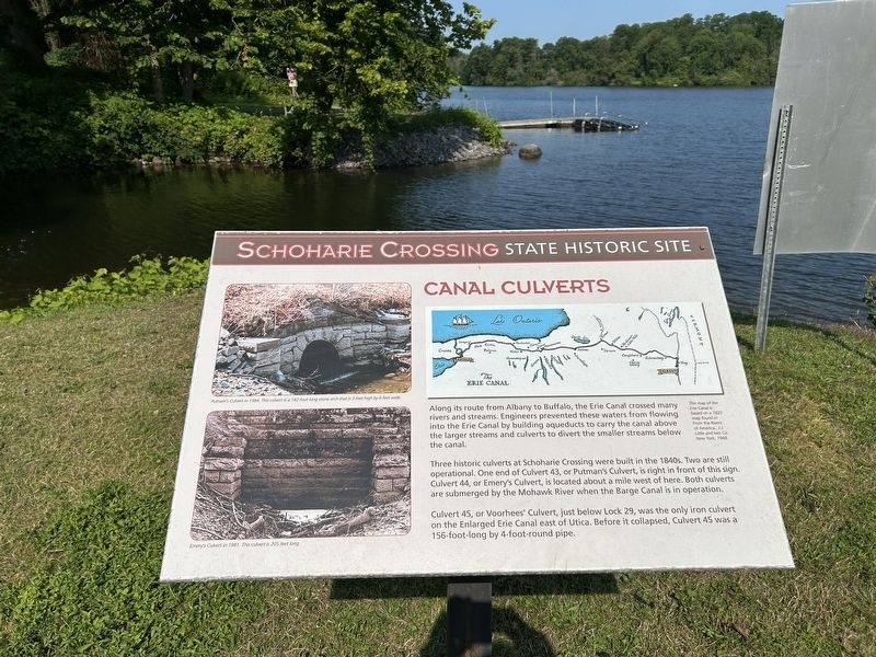
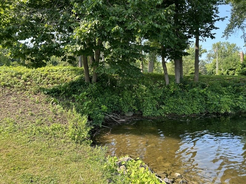
Three historic culverts at Schoharie Crossing were built in the 1840s. Two are still operational. One end of Culvert 43, or Putman's Culvert, is right in front of this sign. Culvert 44, or Emery's Culvert, is located about a mile west of here. Both culverts are submerged by the Mohawk River when the Barge Canal is in operation.
Culvert 45, or Voorhees' Culvert, just below Lock 29, was the only iron culvert on the Enlarged Erie Canal east of Utica. Before it collapsed, Culvert 45 was a 156-foot-long by 4-foot-round pipe.
Topics. This historical marker is listed in this topic list: Waterways & Vessels.
Location. 42° 57.188′ N, 74° 14.338′ W. Marker is near Amsterdam, New York, in Montgomery County. It can be reached from Queen Anne Road near Empire State Trail. Marker is at Yankee Hill Lock.
this page online

Regionally, this marker is in Upstate New York and in the Mohawk Valley. It is also in the American Northeast and in the Mid-Atlantic. Globally, it is in North America, the Western Hemisphere, the Western World, and the Anglosphere. Historically, it finds itself in what was once the Haudenosaunee (Iroquois) Confederacy, New Netherland, and one of the original Thirteen Colonies.
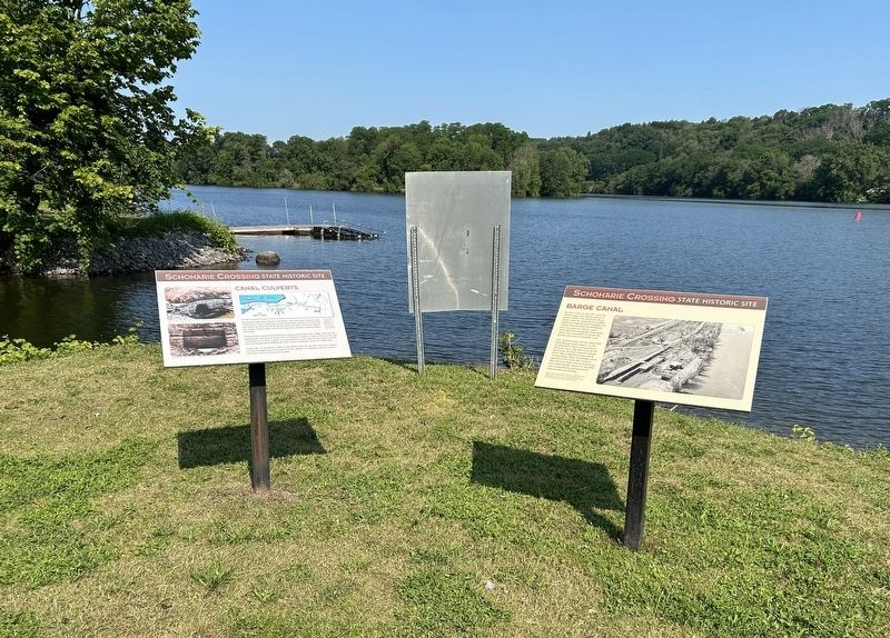
Other nearby markers. At least 8 other markers are within walking distance of this marker: Barge Canal (here, next to this marker); The Last Improvements (within shouting distance of this marker); Two Problems Solved (within shouting distance of this marker); Putman's Lock Grocery (about 300 feet away, measured in a direct line); Lock 28 - Yankee Hill Lock (about 300 feet away); Schoharie Crossing (about 300 feet away); Fort Johnson, 1749 (approx. 0.3 miles away); a different marker also named Fort Johnson (approx. 0.3 miles away). Touch for a list and map of all markers in Amsterdam.
Also see . . . Erie Canal (Wikipedia).
Photographed by Steve Stoessel, July 14, 2024
2. Canal Culverts Marker
Photographed by Steve Stoessel, July 14, 2024
3. Canal Culverts Marker
Credits. This page was last revised on July 16, 2024. It was originally submitted on July 15, 2024, by Steve Stoessel of Niskayuna, New York. This page has been viewed 240 times since then and 23 times this year. Photos: 1, 2, 3. submitted on July 15, 2024, by Steve Stoessel of Niskayuna, New York.
