Hampton, Virginia — The American South (Mid-Atlantic)
Chesterville
Birthplace and Plantation of George Wythe

Photographed by Brandon D Cross
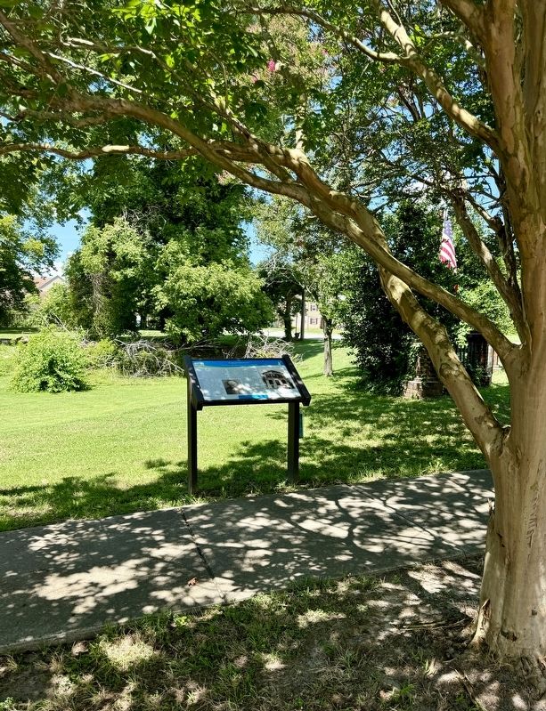
1. Chesterville Marker
Wythe's great-grandfather began the family settlement in 1691 on land that overlooks a tributary to Back River. His grandson, Wythe's father, built a stone house on the property where, in 1726 or 1727, the future leader was born. In 1771, Wythe ordered windows, nails and hardware from London and built a new brick house quite close to his birthplace. Wythe eventually held more than 1,050 acres on which he grew tobacco, corn, wheat, and barley, and raised livestock.
Wythe was one of the most respected characters of his time and was entrusted with the honor of placing his signature at the top of the Virginia signers of the Declaration of Independence. He was elected speaker of the Virginia House of Delegates, served as Williamsburg
this page online
Wythe sold Chesterville, and a series of owners lived in the house until 1911 when a kitchen stove exploded and the building was burned down.
(captions)
George Wythe Courtesy of the Hampton History Museum
George Wythe's House at Chesterville showing tall Palladian windows that might have been inspired by Thomas Jefferson. - Courtesy of the Hampton History Museum, Cheyenne Collection
Erected by Explore Hampton - 2010.
Topics. This historical marker is listed in these topic lists: Colonial Era •
Photographed by Brandon D Cross
2. Chesterville Marker
Location. 37° 0.481′ N, 76° 21.586′ W. Marker is in Hampton, Virginia. It is at the intersection of LaSalle Avenue and Kecoughtan Road (U.S. 60), on the right when traveling south on LaSalle Avenue. Touch for map. Marker is at or near this postal address: 191 La Salle Ave, Hampton VA 23661, United States of America. Touch for directions.

Regionally, this marker is on Virginia’s Peninsula and in Coastal Virginia. It is also in the American South, specifically in the Upper South, in the Tidewater, and on the Eastern Seaboard. Globally, it is in the North Atlantic Region, North America, the Western Hemisphere, the Western World, and the Anglosphere. Historically, it finds itself in what was once the territory of the Mississippian Culture, one of the original Thirteen Colonies, one of the Confederate States of America, and the Antebellum South.
Other nearby markers. At least 8 other markers are within walking distance of this marker: Birthplace of George Wythe (here, next to this marker); First Church at Kecoughtan (approx.
Photographed by Brandon D Cross
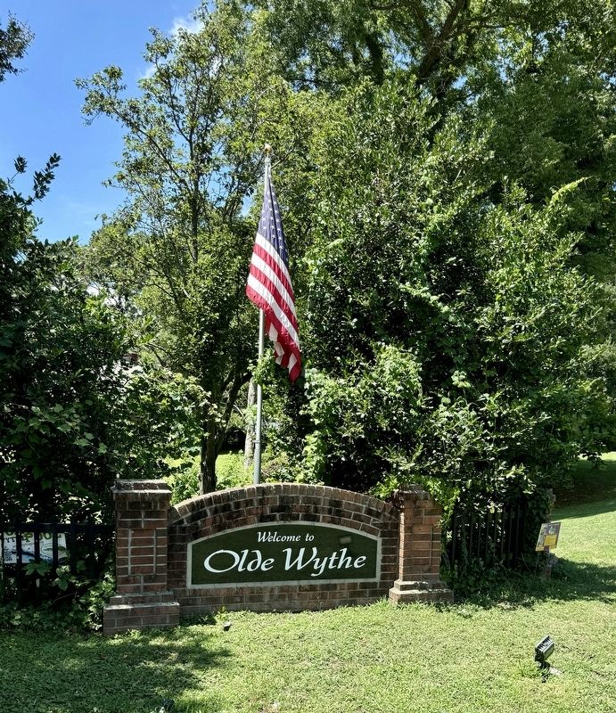
3. Entrance to Olde Wythe Historic District
Other markers no longer nearby. Wythe's Birthplace (was a few steps from this marker but has been replaced with another marker now near it); First Battle of Ironclads (was approx. 0.4 miles away but has been replaced with another marker now near it).
Also see . . . Chesterville Plantation Site. (Submitted on July 15, 2024, by Brandon D Cross of Flagler Beach, Florida.)
Credits. This page was last revised on July 16, 2024. It was originally submitted on July 15, 2024, by Brandon D Cross of Flagler Beach, Florida. This page has been viewed 364 times since then and 60 times this year. Photos: 1, 2, 3. submitted on July 15, 2024, by Brandon D Cross of Flagler Beach, Florida. • Bernard Fisher was the editor who published this page.
