Brothersvalley Township near Berlin in Somerset County, Pennsylvania — The American Northeast (Mid-Atlantic)
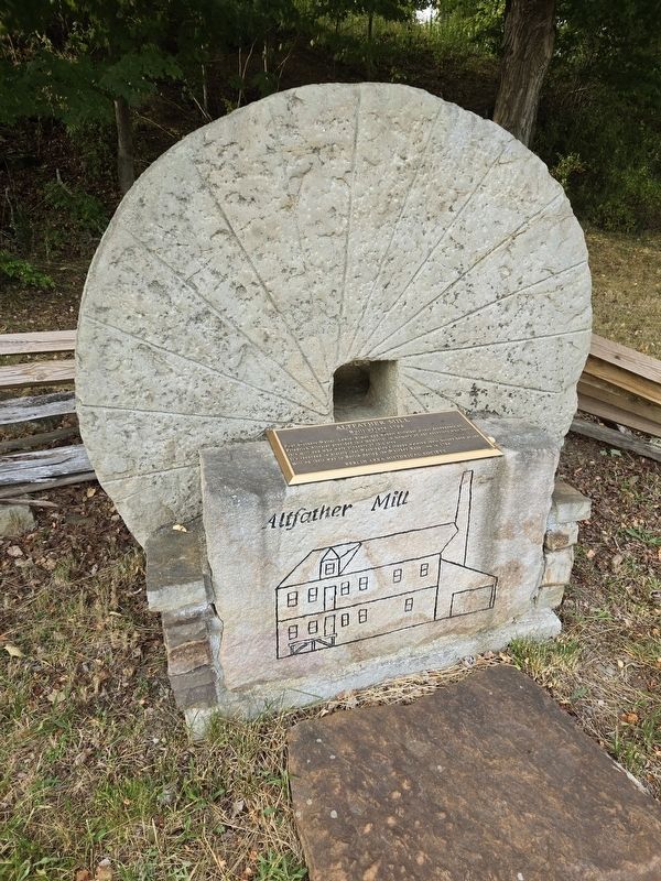
Altfather Mill
Built before 1794
Photographed by Bradley Owen, July 14, 2024
1. Altfather Mill Marker
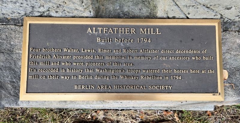
Four brothers Walter, Lewis, Elmer and Robert Altfather direct decendents of Friedrich Altvater provided this memorial in memory of our ancestors who built this mill and who were pioneers of this area.
It's recorded in history that Washington's troops watered their horses here at the mill on their way to Berlin during the Whiskey Rebellion in 1794.
Erected 2005 by Berlin Area Historical Society.
Topics and series. This historical marker is listed in these topic lists: Industry & Commerce • Notable Events • Settlements & Settlers. In addition, it is included in the Former U.S. Presidents: #01 George Washington, and the Whiskey Rebellion series lists. A significant historical year for this entry is 1794.
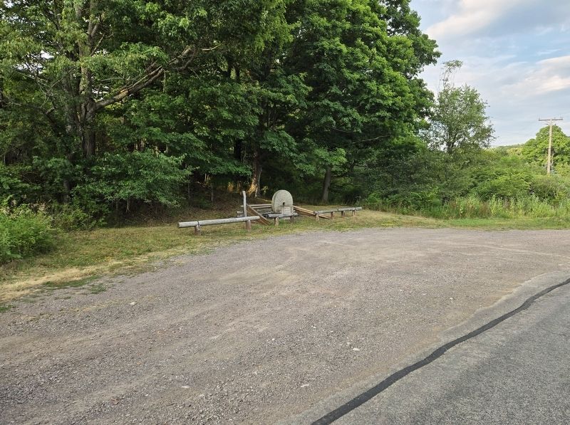
Location. 39° 55.084′ N, 78° 55.002′ W. Marker is near Berlin, Pennsylvania, in Somerset County. It is in Brothersvalley Township. It is on White Horse Road (Pennsylvania Route 2023) 0.1 miles east of Slate Hill Road, on the right when traveling west. Touch for map. Marker is at or near this postal address: 1566 White Horse Road, Berlin PA 15530, United States of America. Touch for directions.

Regionally,
this page online
Other nearby markers. At least 8 other markers are within 7 miles of this marker, measured as the crow flies: Veterans Memorial (approx. 1.8 miles away); a different marker also named Veterans Memorial (approx. 1.8 miles away); a different marker also named Veterans Memorial (approx. 2.1 miles away); Berlin (approx. 2.1 miles away); General Robert Philson (approx. 2.2 miles away); Deeter's Gap (approx. 2.9 miles away); Jeremiah S. Black (approx. 4 miles away); Somerset County Bridge No. 26 (approx. 6.3 miles away). Touch for a list and map of all markers in Berlin.
Photographed by Bradley Owen, July 14, 2024
2. Altfather Mill Marker
Photographed by Bradley Owen, July 14, 2024
3. Altfather Mill Marker
Credits. This page was last revised on July 18, 2024. It was originally submitted on July 16, 2024, by Bradley Owen of Morgantown, West Virginia. This page has been viewed 525 times since then and 67 times this year. Photos: 1, 2, 3. submitted on July 16, 2024, by Bradley Owen of Morgantown, West Virginia.
