Monett in Barry County, Missouri — The American Midwest (Upper Plains)
Native American History
Photographed by Duane and Tracy Marsteller, June 29, 2024
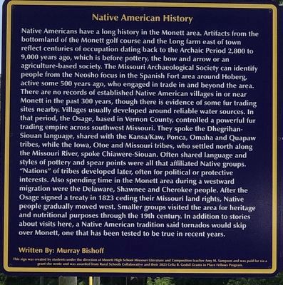
1. Native American History Marker
this page online
Written By: Murray Bishoff
This sign was created by students under the direction of Monett High School Missouri Literature and Composition teacher Amy M. Sampson and was paid for via a grant she wrote and was awarded from Rural Schools Collaborative and their 2023 Celia B. Godsil Grants in Place Fellows Program.
Erected 2023 by Monett High School students.
Topics and series. This historical marker is listed in this topic list: Indigenous Peoples and Communities. In addition, it is included in the Missouri, Monett High School class project
Photographed by Duane and Tracy Marsteller, June 29, 2024
2. Native American History Marker
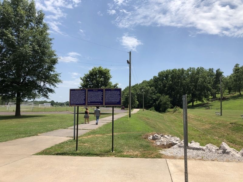
Featured marker is on the left.
Location. 36° 54.844′ N, 93° 55.393′ W. Marker is in Monett, Missouri, in Barry County. It can be reached from Farm Road 1080 south of U.S. 60, on the left when traveling north. Marker is on an unnamed road immediately north of the soccer complex in Monett South Park. Touch for map. Marker is in this post office area: Monett MO 65708, United States of America. Touch for directions.

Regionally, this marker is in Southwest Missouri and in the Branson and Table Rock Lake Area. It is also in the American Ozarks, in the Lewis & Clark Corridor, and in the Corn Belt. Globally, it is in North America, the Western Hemisphere, the Western World, and the Anglosphere. Historically, it finds itself in what was once the territory of the Mississippian Culture, the Louisiana Purchase, and the Antebellum South.
Other nearby markers. At least 8 other markers are within walking distance of this marker: Trail of Tears (here, next to this marker); Monett Cave (here, next to this marker); War Memorial (approx. ¼ mile away); Memorializing Our Veterans (approx. 0.3 miles away); Airplanes and Monett (approx. 0.3 miles away); Logan McKee and the 4th of July 1911 (approx. 0.3 miles away); Christopher G. Stark Memorial (approx. 0.4 miles away); Veterans Memorial (approx. 0.4 miles away). Touch for a list and map of all markers in Monett.
Credits. This page was last revised on July 16, 2024. It was originally submitted on July 16, 2024, by Duane and Tracy Marsteller of Murfreesboro, Tennessee. This page has been viewed 299 times since then and 38 times this year. Photos: 1, 2. submitted on July 16, 2024, by Duane and Tracy Marsteller of Murfreesboro, Tennessee.
