
Monett in Barry County, Missouri — The American Midwest (Upper Plains)
Monett Floods
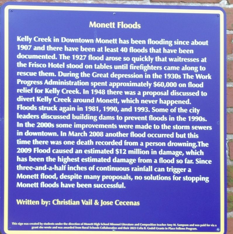
Photographed by Duane and Tracy Marsteller, March 21, 2019
1. Monett Floods Marker
Kelly Creek in downtown Monett has been flooding since about 1907 and there have been at least 40 floods that have been documented. The 1927 flood arose so quickly that waitresses at the Frisco Hotel stood on tables until firefighters came along to rescue them. During the Great Depression in the 1930s the Work Progress Administration spent approximately $60,000 on flood relief for Kelly Creek. In 1948 there was a proposal discussed to divert Kelly Creek around Monett, which never happened. Floods struck again in 1981, 1990, and 1993. Some of the city leaders discussed building dams to prevent floods in the 1990s. In the 2000s some improvements were made to the storm sewers in downtown. In March 2008 another flood occurred but this time there was one death recorded from a person drowning. The 2009 flood caused an estimated $12 million in damage, which has been the highest estimated damage from a flood so far. Since three-and-a-half inches of continuous rainfall can trigger a Monett flood, despite many proposals, no solutions for stopping Monett floods have been successful.
Written by: Christian Vail &
this page online
This sign was created by students under the direction of Monett High School Missouri Literature and Composition teacher Amy M. Sampson and was paid for via a grant she wrote and was awarded from Rural Schools Collaborative and their 2023 Celia B. Godsil Grants in Place Fellows Program.
Erected 2023 by Monett High School students.
Topics and series. This historical marker is listed in these topic lists: Disasters • Waterways & Vessels. In addition, it is included in the Missouri, Monett High School class project series list. A significant historical year for this entry is 1907.
Location. 36° 55.253′ N, 93° 55.349′ W. Marker is in Monett, Missouri, in Barry County. It can be reached from the intersection of East Broadway and 5th Street, on the left when traveling west. Marker is in a public parking lot. Touch for map. Marker is at or near this postal address: 419 E Broadway, Monett MO 65708, United States of America. Touch for directions.

Regionally, this marker is in Southwest Missouri and in the Branson and Table Rock Lake Area. It is also in the American Ozarks, in the Lewis & Clark Corridor, and in the
Photographed by Duane and Tracy Marsteller, June 29, 2024
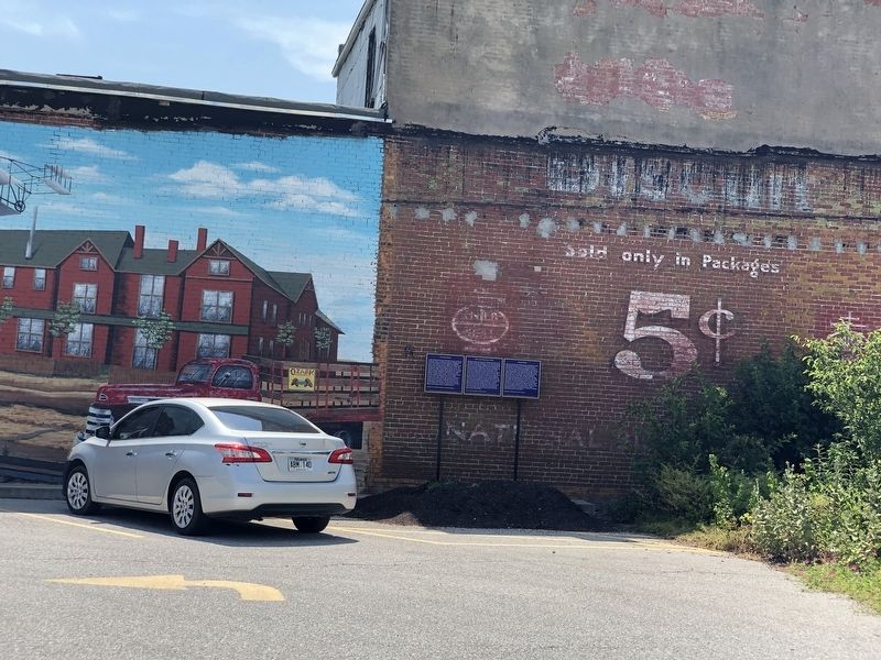
2. Monett Floods Marker
Featured marker is on the right.
Other nearby markers. At least 8 other markers are within walking distance of this marker: Where Did Monett Get its Name? (here, next to this marker); The Frisco Railroad (here, next to this marker); Monett Harvey House (about 400 feet away, measured in a direct line); Monett Lynching (about 400 feet away); Whistle Stops (about 400 feet away); Strawberry Capital of the World (about 400 feet away); The Gillioz Theater (about 400 feet away); Monett Railroad YMCA (about 500 feet away). Touch for a list and map of all markers in Monett.
Also see . . . Historic Monett, Mo., Downtown Has Grappled With Flooding for More Than a Century. It was laid out at the junction of what was then the St. Louis-San Francisco Railway Co. and a southbound branch, but apparently without much concern about Kelly Creek, which flows just north of the present railroad tracks. That creek has been an ongoing source of trouble for Monett. (Sarah Okeson, The Joplin Globe, Jan. 5, 2016; via Government Technology) (Submitted on July 17, 2024, by Duane and Tracy Marsteller of Murfreesboro, Tennessee.)
Credits. This page was last revised on November 14, 2024. It was originally submitted on July 16, 2024, by Duane and Tracy Marsteller of Murfreesboro, Tennessee. This page has been viewed 329 times since then and 53 times this year. Photos: 1, 2. submitted on July 16, 2024, by Duane and Tracy Marsteller of Murfreesboro, Tennessee.
