
Frankenmuth in Saginaw County, Michigan — The American Midwest (Great Lakes)
Frankenmuth Agriculture

Photographed by Kevin W., June 6, 2024
1. Frankenmuth Agriculture Marker
As harvests increased and farm tools improved, the manual task of separating grain from its plant stalks by the threshing flail was replaced by the threshing machine, powered by a steam engine. Neighborhood threshing companies were formed to purchase the machines, each of which could service the needs of up to a dozen farmers. Farming was a family enterprise, with children assigned chores for the crops, animals, and garden.
The first Frankenmuth businesses mainly processed farm products or provided for farming needs. Farming enabled Frankenmuth to be a self-sufficient community, distinct from its neighbors. In 1848, the Hubinger
this page online
The background photograph on the marker includes the following caption: Sometime between 1920-29. Children (dressed in their Sunday best) in front of a field, with shocks of gain ready for harvest.
Topics. This historical marker is listed in these topic lists: Agriculture • Settlements & Settlers. A significant historical year for this entry is 1848.
Location. 43° 19.926′ N, 83° 44.283′ W. Marker is in Frankenmuth, Michigan, in Saginaw County. It is on South Main Street (State Highway 83), on the right when traveling north. Touch for map. Marker is at or near this postal address: 325 S Main St, Frankenmuth MI 48734, United States of America. Touch for directions.

Regionally, this marker is in Mid-Michigan. It is also in the American Midwest. Globally, it is in
Photographed by Kevin W., June 6, 2024
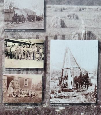
2. Closeup of inset photos on the Frankenmuth Agriculture Marker
Top left photo caption: Sometime between 1882-1905. A steam engine, clover huller and hose drawn water wagon on Main Street in front of the barber shop-, Rau's Saddlery and Commercial House Hotel.
Middle left photo caption: Sometime between 1918-1919. Twelve neighbors in front of a steam engine hooked to a threshing machine.
Lower left photo caption: 1915. On the Schellhas Farm near Tuscola and Van Cleve Roads, a woman wearing a cotton dress and sunbonnet feeds an assortment of chickens.
Lower right photo caption: Sometime between 1900-1909. Charles Nickless with a stump puller and his team of horses, Jim and Charlie.
Middle left photo caption: Sometime between 1918-1919. Twelve neighbors in front of a steam engine hooked to a threshing machine.
Lower left photo caption: 1915. On the Schellhas Farm near Tuscola and Van Cleve Roads, a woman wearing a cotton dress and sunbonnet feeds an assortment of chickens.
Lower right photo caption: Sometime between 1900-1909. Charles Nickless with a stump puller and his team of horses, Jim and Charlie.
Other nearby markers. At least 8 other markers are within walking distance of this marker: Star of the West Milling Company (within shouting distance of this marker); Frankenmuth Veteran's Memorial (about 300 feet away, measured in a direct line); Frankenmuth Education (about 400 feet away); Safe in Our Father's Arms (about 700 feet away); Michigan's Oldest Woolen Mill (approx. 0.2 miles away); Frankenmuth Woolen Mill (approx. ¼ mile away); A Rich History, A Precious Resource (approx. ¼ mile away); Marv Herzog Fest Platz (approx. 0.3 miles away). Touch for a list and map of all markers in Frankenmuth.

Photographed by Kevin W., June 6, 2024
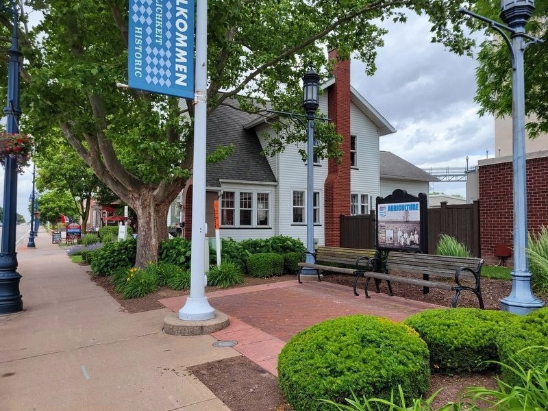
3. Frankenmuth Agriculture Marker
Photographed by Kevin W., June 6, 2024
4. Frankenmuth Agriculture Marker
Photographed by Kevin W., June 6, 2024
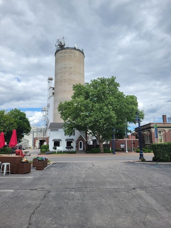
5. Frankenmuth Agriculture Marker
Credits. This page was last revised on August 7, 2026. It was originally submitted on July 16, 2024, by Kevin W. of Stafford, Virginia. This page has been viewed 312 times since then and 45 times this year. Photos: 1, 2, 3. submitted on July 16, 2024, by Kevin W. of Stafford, Virginia. 4. submitted on August 7, 2026, by Kevin W. of Stafford, Virginia. 5. submitted on July 16, 2024, by Kevin W. of Stafford, Virginia.
