Valley Falls in Cumberland in Providence County, Rhode Island — The American Northeast (New England)
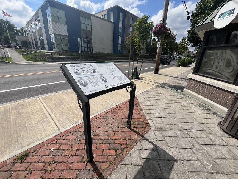
The Underground Railroad

The house of Samuel B. Chase and Elizabeth Buffum Chase, once located across the street, played an important role in the antislavery movement of the 1840s and 1850s. As a secret refuge for fleeing slaves, this home was a stop on the "underground railroad" network which helped them escape from Southern slavery. The Chaces, active abolitionists, lived in this house from about 1847 to 1857. The house has been demolished and the property donated to the Town of Cumberland for public use.
Freedom Fighter
Samuel B. Chace and his wife Elizabeth Buffum Chace came to Valley Falls from Fall River in 1839, after Samuel's father purchased the Valley falls textile mill on the Blackstone River. Fiercely independent Quakers, the Chaces chose to use their social and economic prominence to take leading roles in the antislavery movement. They risked ostracism in communities like Valley Falls, where economic ties to the South created powerful sympathies for slavery. The Chaces not only used their home as an underground railroad stop, they also hosted prominent reformers visiting the Blackstone Valley to lecture on the antislavery or
this page online
Remnants of the mill complex run by Samuel Chace, currently the site of the Valley Falls Heritage Park, are located two blocks south (to the left) of here.
Runaway slaves relied on a flexible system called the "underground railroad" to enable them to make the long trip from the southern slavery states to freedom in Canada. "Stations" along the railroad were usually private homes or places of worship that served as temporary hiding and resting places for the fugitives. The Chaces' home was a station for slaves traveling by ship from the South to New England. New Bedford was often a first stop, followed by a stay at the Fall River home of Elizabeth Buffum Chace's sister. From Fall River, fugitives could travel to Valley Falls, where the Chaces helped them begin a journey to Vermont by securing a seat on the Providence-Worcester Railroad. Vermont abolitionists would then direct slaves to their final destination in Canada.
Erected by Blackstone Valley Tourism Council, Rhode Island; Town of Cumberland, Rhode Island; DSM.
Topics and series. This historical marker is listed in
Location. 41° 54.059′ N, 71° 23.454′ W. Marker is in Cumberland, Rhode Island, in Providence County. It is in Valley Falls. It is on Broad Street just north of Lusitana Avenue, on the right when traveling north. Touch for map. Marker is at or near this postal address: 77 Broad St, Cumberland RI 02864, United States of America. Touch for directions.

Regionally, this marker is in the Blackstone Valley and in Greater Providence. It is also in the American Northeast, in New England, and on the Eastern Seaboard. Globally, it is in the North Atlantic Region, North America, the Western Hemisphere, the Western World, and the Anglosphere. Historically, it finds itself in what was once one of the original Thirteen Colonies.
Other nearby markers. At least 8 other markers are within walking distance of this marker: Veterans Memorial (within shouting distance of this marker); a different marker also named Veterans Memorial (within shouting distance of this marker); President of Portugal Visit (about 400 feet away, measured in a direct line); Your Key to the Past / End of an Era (about 400 feet away); A Bit About Arches (about 500 feet away); The Old Neighborhood (about 500 feet away); c 1820 - 1934 (about 500 feet away); Waterpower & Dams (about 500 feet away). Touch for a list and map of all markers in Cumberland.
Credits. This page was last revised on July 16, 2024. It was originally submitted on July 16, 2024, by Devry Becker Jones of Washington, District of Columbia. This page has been viewed 593 times since then and 99 times this year. Photos: 1, 2. submitted on July 16, 2024, by Devry Becker Jones of Washington, District of Columbia.
