Chuckatuck in Suffolk, Virginia — The American South (Mid-Atlantic)
Chuckatuck
Photographed by Mark Parker, July 16, 2024
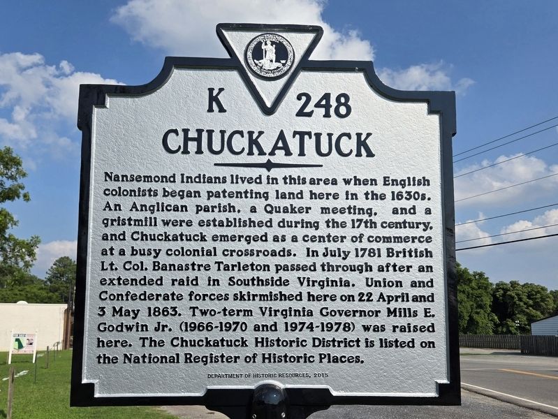
1. Chuckatuck Marker
Nansemond Indians lived in this area when English colonists began patenting land here in the 1630s. An Anglican parish, a Quaker meeting, and a gristmill were established during the 17th century, and Chuckatuck emerged as a center of commerce at a busy colonial crossroads. In July 1781, British Lt. Col. Banastre Tarleton passed through after an extended raid in Southside Virginia. Union and Confederate forces skirmished here on 22 April and 3 May 1863. Two-term Virginia Governor Mills E. Godwin Jr. (1966-1970 and 1974-1978) was raised here. The Chuckatuck Historic District is listed on the National Register of Historic Places.
Erected 2015 by Department of Historic Resources. (Marker Number K 248.)
Topics. This historical marker is listed in these topic lists: Indigenous Peoples and Communities • Industry & Commerce • Military • Settlements & Settlers. A significant historical year for this entry is 1630.
Location. 36° 51.701′ N, 76° 34.807′ W. Marker is in Suffolk, Virginia. It is in Chuckatuck. It is at the intersection of Godwin Boulevard (Virginia Route 10/32) and Kings Highway ( Route 125), on the
this page online

Regionally, this marker is in Hampton Roads, specifically in Coastal Virginia, and in the Hampton Roads Metropolitan Area. It is also in the American South, specifically in the Upper South, in the Tidewater, and on the Eastern Seaboard. Globally, it is in the North Atlantic Region, North America, the Western Hemisphere, the Western World, and the Anglosphere. Historically, it finds itself in what was once the territory of the Mississippian Culture, one of the original Thirteen Colonies, one of the Confederate States of America, and the Antebellum South.
Other nearby markers. At least 8 other markers are within 6 miles of this marker, measured as the crow flies: Nansemond Indian Villages (approx. 0.8 miles away); St. John's Church (approx. 1.1 miles away); Dumpling Island (approx. 2.9 miles away); African American Oystermen (approx. 4.3 miles away); James Bowser Plantation (approx. 4.4 miles away); Sleepy Hole Ferry (approx. 5.1 miles
Photographed by Mark Parker, July 16, 2024
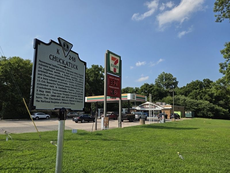
2. Chuckatuck Marker looking north at 7-Eleven store
Other markers no longer nearby. Isle of Wight County / Nansemond County (was approx. 1.4 miles away but has been permanently removed); Reid's Ferry (was approx. 4.1 miles away but has been permanently removed).
Photographed by Mark Parker, July 16, 2024
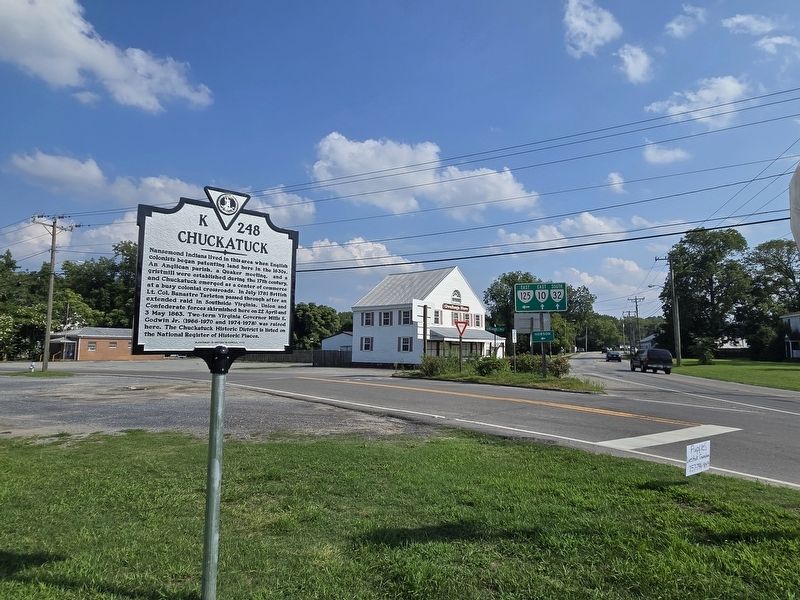
3. Wide view of Chuckatuck Marker. Gwaltney's store to the south
Credits. This page was last revised on July 25, 2025. It was originally submitted on July 17, 2024, by Mark Parker of Hickory, North Carolina. This page has been viewed 823 times since then and 135 times this year. Photos: 1, 2, 3. submitted on July 17, 2024, by Mark Parker of Hickory, North Carolina. • Bernard Fisher was the editor who published this page.
Editor’s want-list for this marker. A link to the National Register of Historic Places including a citation of historical significance. • Can you help?
