Valley Falls in Cumberland in Providence County, Rhode Island — The American Northeast (New England)
Waterpower & Dams
Photographed by Devry Becker Jones (CC0), July 10, 2024
1. Waterpower & Dams Marker
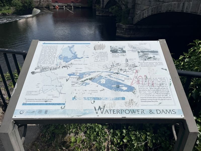
Unfortunately, the marker has weathered and is partially unreadable.
The force of falling water can turn wheels and other devices to power machinery. Capturing that force requires a dam to divert water's natural path, artificial channels or raceways to lead water through a power-creating wheel, and a tailrace below the wheel to return water to a stream or river. Valley Falls was perhaps the best potential site for waterpowered mills on the Blackstone. The marsh upriver could be turned into a storage pond and relatively low banks on either side of the tails provided mill sites. A sequence of three dams at Valley Falls and the raceways running through this park tell much of the water power story here.
Water Power Sites on the Blackstone
The Blackstone River drops 438 feet in 46 miles. Mill owners once used almost all of the energy.
The Mill Pond's Changing Shape
The first Wilkinson dam, built c1813, was on the bedrock near the upper end of the falls. The Wilkinsons built a dam 5 or 6 feet higher, about 40 feet downstream, in 1828. The 1828 dam created a larger pond in the Valley Falls marsh than the earlier dam. Higher pond levels flooded waterwheels at mills upriver. A lawsuit required
this page online
Gatehouse Site
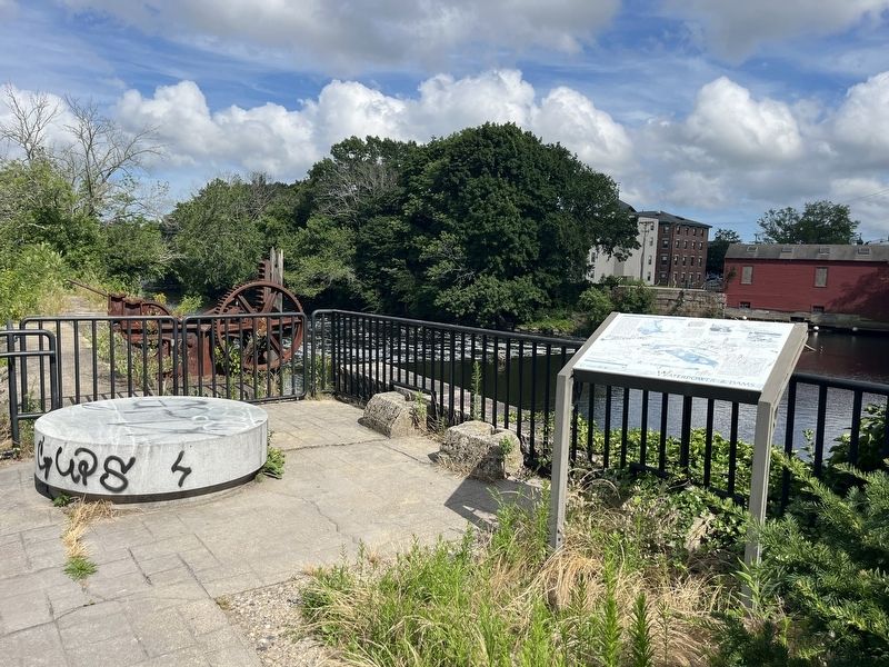
The rack-and-pinion operator in front of you is one of three that [unreadable] gates in the arches below. These gates controlled the flow from the river into the raceways. A gatehouse like this one across the river sheltered the machinery.
Archaeological investigations in February 1991 located the buried headrace from the 1813 and 1828 dams.
Much of the timber framing from both Wilkinson dams remains underwater. These sections were last exposed when the water behind the stone dam was lowered in 1940.
Erected by Blackstone Valley Tourism Council; Town of Cumberland, Rhode Island; Rhode Island Department of Environmental Management.
Topics. This historical marker is listed in these topic lists: Industry & Commerce • Waterways & Vessels. A significant historical month for this entry is February 1991.
Location. 41° 53.978′ N, 71° 23.409′ W. Marker has been reported damaged.

Regionally, this marker is in the Blackstone Valley and in Greater Providence. It is also in the American Northeast, in New England, and on the Eastern Seaboard. Globally, it is in the North Atlantic Region, North America, the Western Hemisphere, the Western World, and the Anglosphere. Historically, it finds itself in what was once one of the original Thirteen Colonies.
Other nearby markers. At least 8 other markers are within walking distance of this location: The Old Neighborhood (within shouting distance of this marker); Your Key to the Past / End of an Era (within shouting distance of this marker); A Bit About Arches (within shouting distance of this marker); Sri Chinmoy Peace Bridge (within shouting distance of this marker); c 1820 - 1934 (within shouting distance of this marker); Turbine Power (within shouting distance of this marker); Veterans Memorial (about 300 feet away, measured in a direct line); a different marker also named Veterans Memorial (about 300 feet away). Touch for a list and map of all markers in Cumberland.
Credits. This page was last revised on July 17, 2024. It was originally submitted on July 17, 2024, by Devry Becker Jones of Washington, District of Columbia. This page has been viewed 175 times since then and 25 times this year. Photos: 1, 2. submitted on July 17, 2024, by Devry Becker Jones of Washington, District of Columbia.
