Valley Falls in Cumberland in Providence County, Rhode Island — The American Northeast (New England)
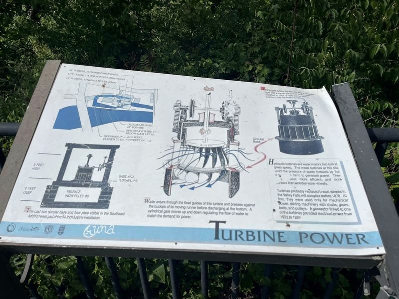
Turbine Power
Photographed by Devry Becker Jones (CC0), July 10, 2024
1. Turbine Power Marker
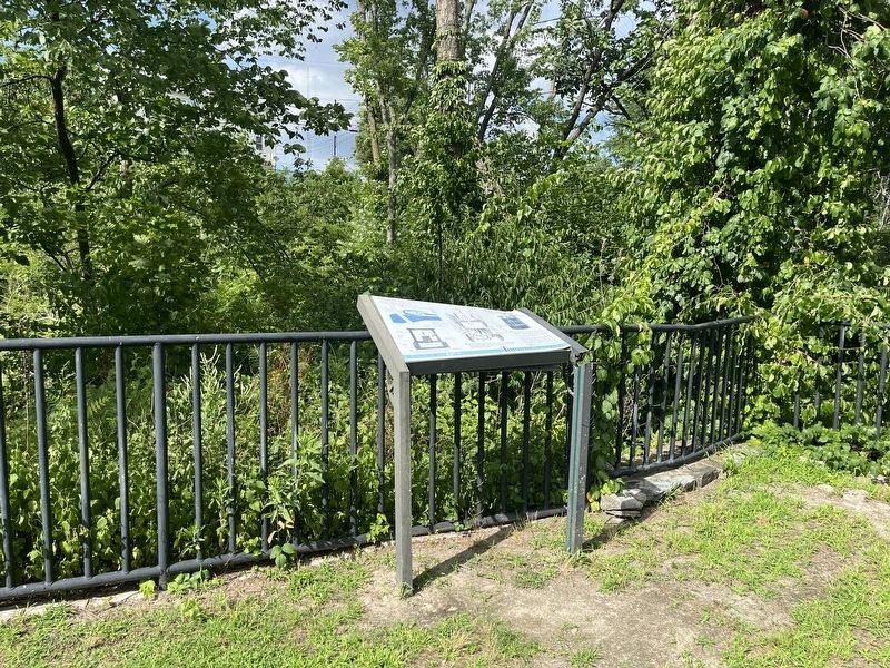
Unfortunately, this marker has faced weathering, warping and defacement and is partially unreadable.
Hydraulic turbines are water motors that turn at great speed. The metal turbines at this site used the pressure of water (created by the [unreadable] dam) to generate power. They [unreadable], more efficient, and more durable than wooden water wheels.
Turbines probably replaced breast wheels in the Valley Falls mill complex before 1870. At first, they were used only for mechanical power, driving machinery with shafts, gears, belts, and pulleys. A generator linked one of the turbines provided electrical power from 1922 to 1925.
The cast iron circular base and floor plate visible in the Southeast Addition were part of the 54-inch turbine installation.
Water enters through the fixed guides of this turbine and presses against the buckets of its moving runner before discharging at the bottom. A cylindrical gate moved up and down regulating the flow of water to match the demand for power.
The largest turbine on this site was a Holyoke type with a runner 54 inches in diameter. Installed in 1901, it replaced an earlier turbine in the Southeast Addition.
Erected by Blackstone Valley Tourism Council; Town of Cumberland,
this page online
Topics. This historical marker is listed in these topic lists: Industry & Commerce • Waterways & Vessels. A significant historical year for this entry is 1870.
Location. 41° 53.992′ N, 71° 23.365′ W. Marker has been reported damaged. Marker is in Cumberland, Rhode Island, in Providence County. It is in Valley Falls. It can be reached from the intersection of Broad Street (Rhode Island Route 114) and Meeting Street, on the right when traveling north. Touch for map. Marker is at or near this postal address: 45 Broad St, Cumberland RI 02864, United States of America. Touch for directions.

Regionally, this marker is in the Blackstone Valley and in Greater Providence. It is also in the American Northeast, in New England, and on the Eastern Seaboard. Globally, it is in the North Atlantic Region, North America, the Western Hemisphere, the Western World, and the Anglosphere. Historically, it finds itself in what was once one of the original Thirteen Colonies.
Other nearby markers. At least 8 other markers are within walking distance of this location: c 1820 - 1934
Credits. This page was last revised on July 17, 2024. It was originally submitted on July 17, 2024, by Devry Becker Jones of Washington, District of Columbia. This page has been viewed 123 times since then and 16 times this year. Photos: 1, 2. submitted on July 17, 2024, by Devry Becker Jones of Washington, District of Columbia.
