Point Judith in Narragansett in Washington County, Rhode Island — The American Northeast (New England)
From Trap to Table
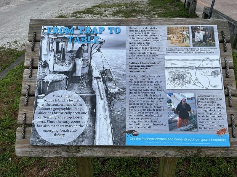
Even though Rhode Island is located at the southern end of the lobster's geographical range, Galilee has historically been one of New England's top lobster ports. Since the early 2000s, it has also made its mark in the emerging Jonah crab fishery.
The lobster and crab fleet includes a range of boats, from 14-foot skiffs that work around the breakwater to 90-foot offshore boats that work in the deep canyons on the edge of the continental shelf. Fishermen follow lobsters and crabs in their annual migration, which takes them inshore in summer and offshore in winter.
Galilee's lobster and crab boats are uniquely adapted to their environment.
The boats differ from the typical inshore Gulf of Maine lobster boats, which set their traps separately from one another to avoid entangling with other traps and underwater rock formations. Rhode Island boats, blessed with an open expanse of ocean to fish in, tie their traps together in long strings called "trawls". Because most Rhode Island boats prefer to use this trap-setting method, they have an open-transom design that lets them set traps off the stern instead of over the
this page online
Lobstermen are proud to offer their freshly caught lobsters and crabs direct to consumers through dockside sales. Stop by the boats to purchase some of their catch and learn more about their unique livelihood!
Get the freshest lobsters and crabs, direct from your lobsterman!
Erected by the fishing community of Galilee with financial support from the Rhode Island Foundation.
Topics. This historical marker is listed in these topic lists: Animals • Industry & Commerce • Waterways & Vessels.
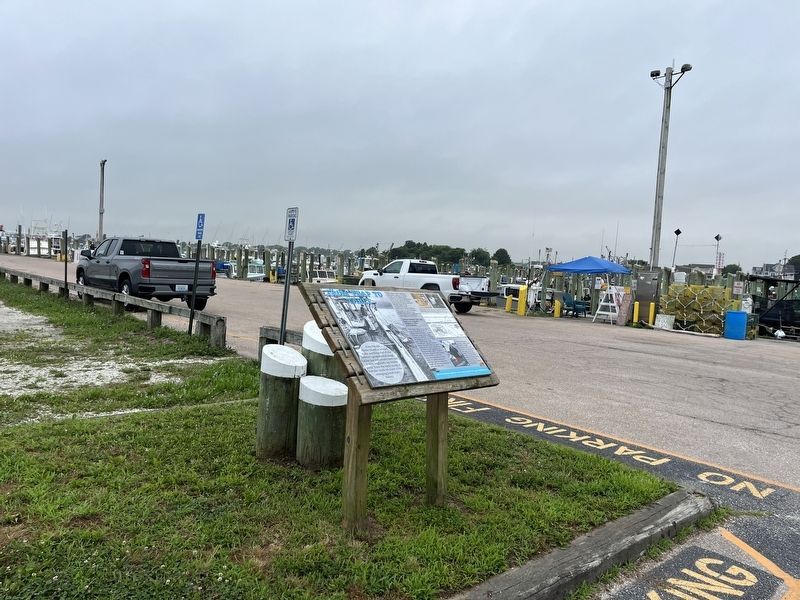
Location. 41° 22.978′ N, 71° 30.508′ W. Marker is in Narragansett, Rhode Island, in Washington County. It is in Point Judith. It is on Great Island Road north of State Street, on the left when traveling north. Touch for map. Marker is at or near this postal address: 3 State St, Narragansett RI 02882, United States of America. Touch for directions.

Regionally, this marker is on Narragansett Bay and in South County. It is also in the American Northeast, in New England, and on the Eastern Seaboard. Globally, it is in the North Atlantic Region, North America, the
Other nearby markers. At least 8 other markers are within 2 miles of this marker, measured as the crow flies: From Fishing Village to Fishing Port (approx. 0.2 miles away); A Model of Innovation (approx. 0.2 miles away); In It for the Long Haul (approx. 0.2 miles away); Growth and Its Limits (approx. 0.2 miles away); Galilee: A Working Waterfront (approx. ¼ mile away); From Trawl to Table (approx. 0.3 miles away); Point Judith Light House (approx. 2 miles away); The S.S. Black Point (approx. 2.1 miles away). Touch for a list and map of all markers in Narragansett.
Credits. This page was last revised on July 17, 2024. It was originally submitted on July 17, 2024, by Devry Becker Jones of Washington, District of Columbia. This page has been viewed 153 times since then and 15 times this year. Photos: 1, 2. submitted on July 17, 2024, by Devry Becker Jones of Washington, District of Columbia.
