Block Island in New Shoreham in Washington County, Rhode Island — The American Northeast (New England)
Nicholas Ball Park
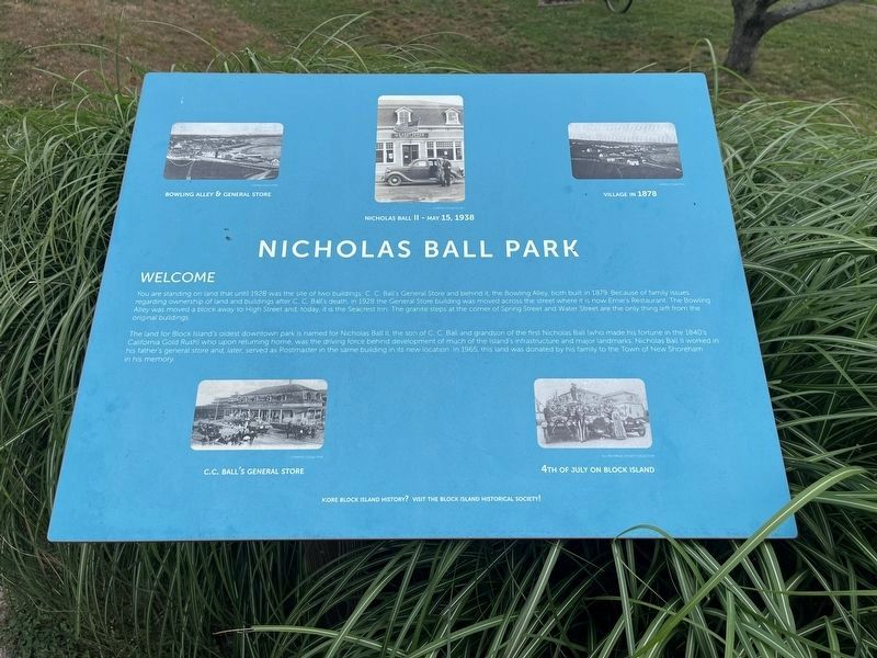
Welcome
You are standing on land that until 1928 was the site of two buildings: C. C. Ball's General Store and behind it, the Bowling Alley, both built in 1879. Because of family issues regarding ownership of land and buildings after C. C. Ball's death, in 1928 the General Store building was moved across the street where it is now Ernie's Restaurant. The Bowling Alley was moved a block away to High Street and, today, it is the Seacrest Inn. The granite steps at the corner of Spring Street and Water Street are the only thing left from the original buildings.
The land for Block Island's oldest downtown park is named for Nicholas Ball II, the son of C. C. Ball and grandson of the first Nicholas Ball (who made his fortune in the 1840's California Gold Rush) who upon returning home, was the driving force behind development of much of the island's infrastructure and major landmarks. Nicholas Ball II worked in his father's general store and, later, served as Postmaster in the same building in its new location. In 1965, this land was donated by his family to the Town of New Shoreham in his memory.
Topics. This historical
this page online
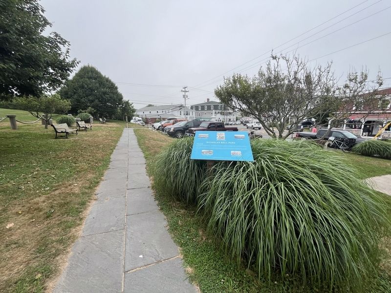
Location. 41° 10.318′ N, 71° 33.418′ W. Marker is in New Shoreham, Rhode Island, in Washington County. It is on Block Island. It is on Adrian House Lane south of Water Street, on the right when traveling south. Touch for map. Marker is at or near this postal address: 212 B Water St, Block Island RI 02807, United States of America. Touch for directions.

Regionally, this marker is on Narragansett Bay and in South County. It is also in the American Northeast, in New England, and on the Eastern Seaboard. Globally, it is in the North Atlantic Region, North America, the Western Hemisphere, the Western World, and the Anglosphere. Historically, it finds itself in what was once one of the original Thirteen Colonies.
Other nearby markers. At least 8 other markers are within walking distance of this marker: New Shoreham (approx. 0.2 miles away); World War I Memorial (approx. ¼ mile away); Block Island Historical Society (approx. 0.3 miles away); Double Ender
Credits. This page was last revised on July 17, 2024. It was originally submitted on July 17, 2024, by Devry Becker Jones of Washington, District of Columbia. This page has been viewed 202 times since then and 31 times this year. Photos: 1, 2. submitted on July 17, 2024, by Devry Becker Jones of Washington, District of Columbia.
