Burlington in Kit Carson County, Colorado — The American Mountains (Southwest)
What Lies Beneath
Burlington Colorado
Photographed by Mark Hilton, July 2, 2024
1. What Lies Beneath Marker
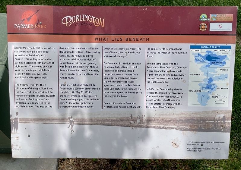
Approximately 230 feet below where you are standing is a geological formation called the Ogallala Aquifer. This underground water basin is located beneath portions of eight states. The volume of water varies depending on rainfall and usage by domestic, livestock, municipal and irrigation wells.
The headwaters of the three tributaries of the Republican River, the North Fork, South Fork and the Arikaree originate in Colorado, north and west of Burlington and are hydrologically connected to the Ogallala Aquifer. The area of land that feeds into the river is called the Republican River Basin. After leaving Colorado, the Republican River waters travel through portions of Nebraska and into Kansas, joining with the Smoky Hill River at Milford Reservoir near Junction City, Kansas, which then feeds into and forms the Kansas River.
In the late 1800s and early 1900s, floods were a common occurrence on the plains. On May 31, 1935, a thunderstorm formed over eastern Colorado dumping up to 14 inches of rain. As the waters gathered, a devastating flood developed in which 105 residents drowned. The loss
this page online
On December 31, 1942, in an effort to acquire federal funds to build reservoirs and provide flood protection, commissioners from Colorado, Nebraska and Kansas signed a federally-approved agreement named the Republican River Compact. In the compact, the three states agreed on how to share the water in the basin.
Commissioners from Colorado, Nebraska and Kansas meet annually to administer the compact and manage the water of the Republican River.
To gain compliance with the Republican River Compact, Colorado, Nebraska and Kansas have made significant changes to reduce water use and decrease the depletion of the Ogallala Aquifer.
In 2004, the Colorado legislature created the Republican River Water Conservation District (RRWCD) to assure local involvement in the State's efforts to comply with the Republican River Compact.
Erected by City of Burlington, Burlington Rotary Club, Great Outdoors Colorado, Colorado Health Foundation.
Topics and series. This historical marker is listed in this topic list: Waterways & Vessels. In addition, it is included
Photographed by Mark Hilton, July 2, 2024
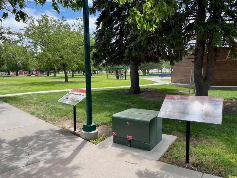
2. What Lies Beneath Marker (on right).
Location. 39° 17.726′ N, 102° 16.555′ W. Marker is in Burlington, Colorado, in Kit Carson County. It is on Ben Street west of Judy Street, on the left when traveling west. Located in Parmer Park. Touch for map. Marker is in this post office area: Burlington CO 80807, United States of America. Touch for directions.

Regionally, this marker is in the Eastern Plains. It is also in the American Mountain West, on the Great Plains, and specifically on the High Plains. Globally, it is in North America, the Western Hemisphere, the Western World, and the Anglosphere. Historically, it finds itself in what was once the Comanchería, the Dust Bowl, and the Louisiana Purchase.
Other nearby markers. At least 8 other markers are within walking distance of this marker: Farm Equipment - Then and Now (here, next to this marker); The Winds of Change (a few steps from this marker); A Farming Revolution (within shouting distance of this marker); As the Dust Settled (within shouting distance of this marker); The Dust Bowl Years (about 300 feet away, measured in a direct line); What's In a Name (about 400 feet away); The Open Range (about 500 feet away); The Early People (about 600 feet away). Touch for a list and map of all markers in Burlington.
Also see . . . Wikipedia article on the Ogallala Aquifer. Despite its size, the Ogallala Aquifer is drying up. Scientists have reported that, if recharge and use continue at current rates, research shows that much of the Ogallala in Texas could be depleted as soon as the year 2100. (Submitted on July 18, 2024, by Mark Hilton of Montgomery, Alabama.)
Credits. This page was last revised on July 19, 2024. It was originally submitted on July 18, 2024, by Mark Hilton of Montgomery, Alabama. This page has been viewed 205 times since then and 31 times this year. Photos: 1, 2. submitted on July 18, 2024, by Mark Hilton of Montgomery, Alabama.
