Marker Logo
THE HISTORICAL
MARKER DATABASE
“Bite-Size Bits of Local, National, and Global History”
Valley Ranch in Irving in Dallas County, Texas — The American South (West South Central)
 

Ledbetter Farm Road
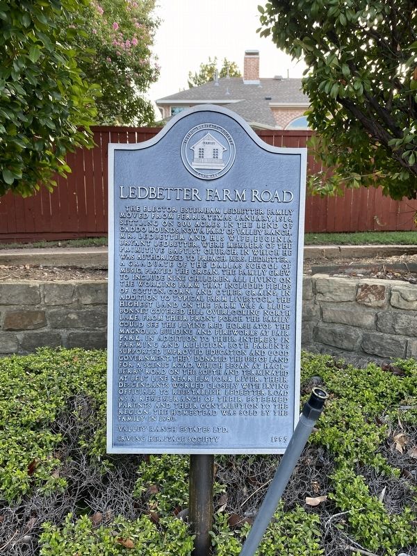
 
 
Ledbetter Farm Road Marker image. Click for full size.
Photographed by Morgan Petermann, July 18, 2024
1. Ledbetter Farm Road Marker
Inscription. The Elector Esterham Ledbetter family moved from Ferris, Texas January, 1916, settling on 200 acres in the bend of Caddo Mounds, now a part of Valley Ranch. Mr. Ledbetter and his wife, Eugenia Bryant Ledbetter, were members of the Primitive Baptist Church, in which he was authorized to preach. Mrs. Ledbetter, a graduate of the Dallas School of Music, played the organ. The family grew to include nine children, all living on the working farm that included fields of cotton, corn, and other grains, in addition to typical farm livestock. The highest land on the farm was a bluebonnet covered hill overlooking North Lake. From their front porch the family could see the flying red horse atop the Magnolia Building and fireworks at Fair Park. In addition to their interest in farming and religion, both parents supported improved education and good government. They donated the use of land for a scenic road, which began at Hackberry Road on the south and terminated at Belt Line near Elm Fork River. Their descendants worked closely with Irving officials to reestablish Ledbetter Road as a remembrance of their esteemed parents and their
Paid Advertisement
Click or scan to see
this page online
contribution to the region. The homestead was sold by the family in 1980.
 
Erected 1995 by Irving Heritage Society and Valley Ranch Estates LTD.
 
Topics. This historical marker is listed in this topic list: Roads & Vehicles. A significant historical year for this entry is 1916.
 
Location. 32° 56.182′ N, 96° 57.995′ W. Marker is in Irving, Texas, in Dallas County. It is in Valley Ranch. It is at the intersection of Vista Circle and Ranchview Drive on Vista Circle. Touch for map. Marker is at or near this postal address: 9436 Vista Cir, Irving TX 75063, United States of America. Touch for directions.

Regionally, this marker is in the Prairies & Lakes Region and in the Dallas-Fort Worth Metropolitan Area. Globally, it is in North America, a Gulf of Mexico state, the Western Hemisphere, the Western World, and the Anglosphere. Historically, it finds itself in what was once New Spain, the Republic of Texas, one of the Confederate States of America, and the Antebellum South.

Other nearby markers. At least 8 other markers are within 3 miles of this marker, measured as the crow flies: Bethel Cemetery (approx. 1.6 miles away); Bethel School and Bethel Church
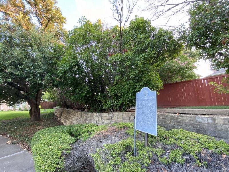
Ledbetter Farm Road Marker image. Click for full size.
Photographed by Morgan Petermann, July 18, 2024
2. Ledbetter Farm Road Marker
(approx. 1.7 miles away); Coppell School (approx. 2 miles away); Parrish Family Cemetery (approx. 2 miles away); Houston Campsite Oak (approx. 2.3 miles away); Grapevine Springs Park (approx. 2.3 miles away); The Coppell Railroad Depot (approx. 2.4 miles away); Historic Bullock Cemetery (approx. 2½ miles away).
 
 
Credits. This page was last revised on July 21, 2024. It was originally submitted on July 19, 2024, by Morgan Petermann of Hurst, Texas. This page has been viewed 782 times since then and 55 times this year. Photos:   1, 2. submitted on July 19, 2024, by Morgan Petermann of Hurst, Texas. • James Hulse was the editor who published this page.

m=251725

CeraNet Cloud Computing sponsors the Historical Marker Database.
This website earns income from purchases you make after using our links to Amazon.com. We appreciate your support.
Paid Advertisement
Jul. 30, 2026