Greenville in Darke County, Ohio — The American Midwest (Great Lakes)
Tecumseh Point
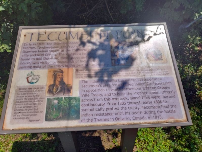
Photographed by Craig Doda, July 7, 2024
1. Tecumseh Point Marker
Early in 1805, the Shawnee leader Tecums and his brother, Tenskwatawa, the Prophet, Established a Shawnee Indian village at the confluence Greenville and Mud Creeks. The village, a temporary home to 800 Shawnee, their lodges and council house, was visited by thousands of Indians representing most of the tribes in this part of the country. The Indians came to the village in response to Tecumseh's plea for a unified Indian Confederation in opposition to white settlement and the Greene Ville Treaty, and to hear the Prophet speak. Directly across from this overlook, signal fires were burned continuously from 1805 through early 1808 to symbolically protest the treaty. Tecumseh lead the Indian resistance until his death during the Battle of the Thames in Ontario, Canada in 1813.
[Captions:]
Greene Ville - April 1807
"These lands are ours. No one has a right to remove us because we were the first owners. The Great Spirit above has appointed this place for us on which to lite our fires, and here we will remain. As to boundaries, the great Spirit above knows no boundaries, nor will any of his red people acknowledge any."
- Tecumseh
Greene Ville - September 1807
"The Indians did not remove to this place because it was a pretty place or very valuable, fort was neither, but because it was revealed to me that the place was a proper one to establish his doctrines, they were not my own nor were they taught me by man, but by the Supreme Ruler of the universe."
The Prophet
Erected by Darke
this page online
Topics. This historical marker is listed in these topic lists: Indigenous Peoples and Communities • Settlements & Settlers. A significant historical month for this entry is April 1807.
Location. 40° 6.233′ N, 84° 38.146′ W. Marker is in Greenville, Ohio, in Darke County. It is on North Broadway Street (Ohio Route 49) 0.1 miles north of West Water Street, on the right when traveling south. Touch for map. Marker is at or near this postal address: 106 N Broadway St, Greenville OH 45331, United States of America. Touch for directions.

Regionally, this marker is in the Till Plains. It is also in the American Midwest and in the Corn Belt. Globally, it is in North America, the Western Hemisphere, the Western World, and the Anglosphere. Historically, it finds itself in what was once the Haudenosaunee (Iroquois) Confederacy, the territory of the Mississippian Culture, and the Northwest Territory.
Other nearby markers. At least 8 other markers are within walking distance of this marker: Early Wildlife (within shouting distance of this marker); The Fort at Greenville (about 600 feet away, measured in a direct line); Veterans Memorial
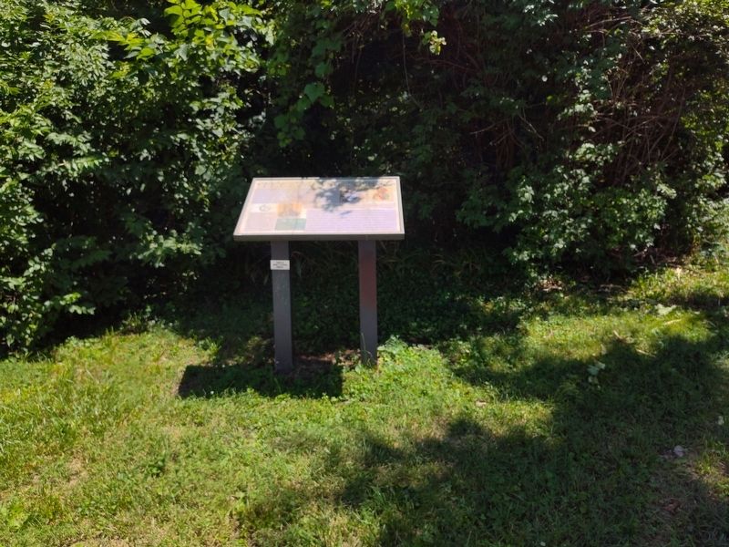
Photographed by Craig Doda, July 7, 2024
2. Tecumseh Point Marker
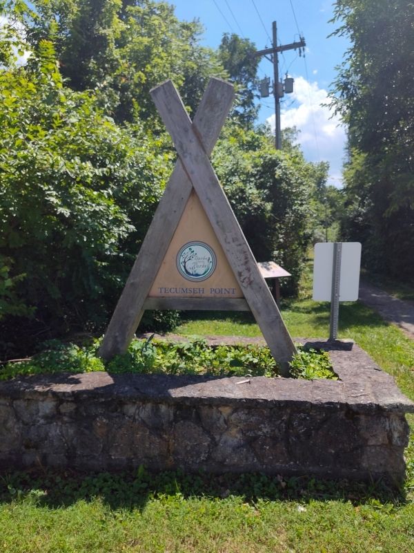
Photographed by Craig Doda, July 7, 2024
3. Tecumseh Point Marker
Credits. This page was last revised on July 27, 2024. It was originally submitted on July 20, 2024, by Craig Doda of Napoleon, Ohio. This page has been viewed 801 times since then and 154 times this year. Photos: 1, 2, 3. submitted on July 20, 2024, by Craig Doda of Napoleon, Ohio. • Devry Becker Jones was the editor who published this page.
