
Near Altadena in Los Angeles County, California — The American West (Pacific Coastal)
How El Prieto Canyon Got Its Name

Photographed by Craig Baker
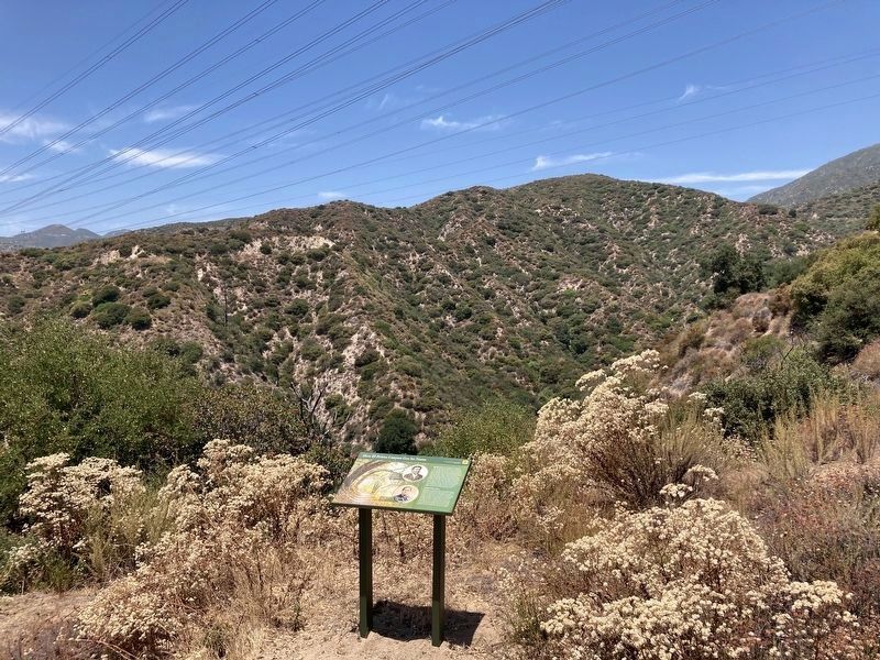
1. El Prieto Canyon Marker
You're looking out at El Prieto Canyon. In Spanish "El Prieto" refers to the dark one - and this scenic place was named for Robert Owens. He settled here in the early 1850s, after being born into slavery and through years of hard labor saving enough to buy his freedom. He left Texas for California, which had recently entered the Union as a free state, but with a history of unfree labor. Native Americans and people of African or Chinese descent had few rights. Despite these obstacles, Owens dealt in lumber and supplied building materials to the US Army, earning enough to buy the freedom of his wife Winnie and their children, who joined him in the canyon. His success allowed the family to move to Los Angeles, where he opened a livery stable downtown with John Hall, another African American. He built a real estate portfolio and eventually became wealthy. The Owens' home became a center of the African-American community, where early religious meetings and business gatherings took place.
Freeing Biddy Mason
Robert Owens is linked with another famous Angelino: Biddy Mason. Robert Smith brought
this page online
Topics. This historical marker is listed in these topic lists: African Americans • Charity & Public Work • Civil Rights. A significant historical year for this entry is 1855.
Location. 34° 12.995′ N, 118° 9.636′ W. Marker is near Altadena, California, in Los Angeles County. It can be reached from El Prieto Road Trail. Hike 3 miles from the intersection of Ventura Street and Windsor Avenue. Touch for map. Marker is in this post office area: Altadena CA 91001, United States of America. Touch for directions.

Regionally,
Photographed by Craig Baker, July 22, 2024
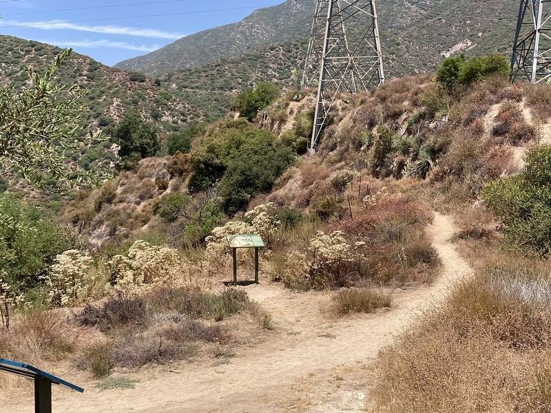
2. El Prieto Canyon and Marker
Other nearby markers. At least 8 other markers are within 2 miles of this marker, measured as the crow flies: Owen Brown (a few steps from this marker); Who was Robert Owens of El Prieto Canyon? (approx. 0.6 miles away); Buffalo Soldiers (approx. one mile away); Space Flight Operations Facility (approx. 1.4 miles away); Jet Propulsion Laboratory (approx. 1.4 miles away); The Voyager Spacecraft - Interplanetary Explorers (approx. 1½ miles away); O. Oliver Goodall (approx. 1½ miles away); Dawn Station (approx. 1.9 miles away). Touch for a list and map of all markers in Altadena.
Related marker. Click here for another marker that is related to this marker. - Biddy Mason memorial in Los Angeles.
Photographed by Craig Baker, July 22, 2024
3. El Prieto Canyon Marker

Photographed by Craig Baker, July 22, 2024
4. El Prieto Canyon
Credits. This page was last revised on July 24, 2024. It was originally submitted on July 21, 2024, by Craig Baker of Sylmar, California. This page has been viewed 311 times since then and 43 times this year. Photos: 1, 2. submitted on July 21, 2024, by Craig Baker of Sylmar, California. 3, 4. submitted on July 22, 2024, by Craig Baker of Sylmar, California.
