Downtown Providence in Providence County, Rhode Island — The American Northeast (New England)
Garden of Journey
Salt Water
C2 paint, Spraypaint
| — | The Avenue Concept | — |
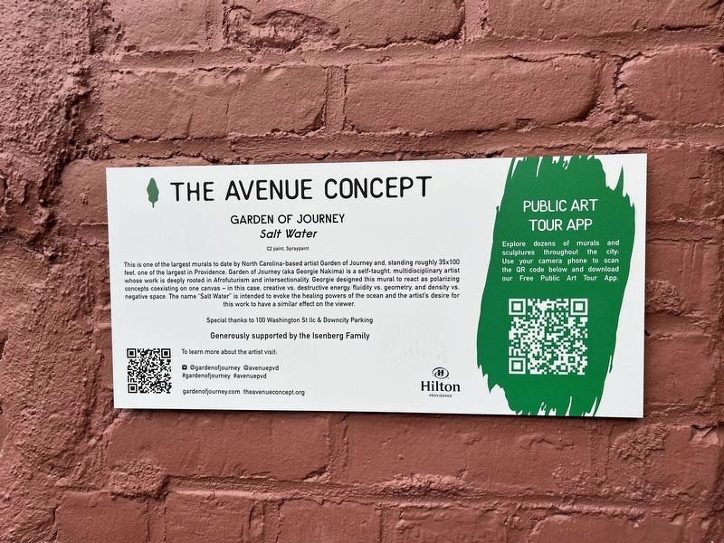
This is one of the largest murals to date by North Carolina-based artist Garden of Journey and, standing roughly 35×100 feet, one of the largest in Providence. Garden of Journey (aka Georgie Nakima) is a self-taught, multidisciplinary artist whose work is deeply rooted in Afrofuturism and intersectionality. Georgie designed this mural to react as polarizing concepts coexisting one one canvas — in this case, creative vs. destructive energy, fluidity vs. geometry, and density vs. negative space. The name "Salt Water" is intended to evoke the healing powers of the ocean and the artist's desire for this work to have a similar effect on the viewer.
Erected by The Avenue Concept.
Topics. This historical marker is listed in these topic lists: African Americans • Arts, Letters, Music • Women. A significant historical year for this entry is 2021.
Location. 41° 49.394′ N, 71° 24.858′ W. Marker is in Providence, Rhode Island, in Providence County. It is in Downtown Providence. It is on Clemence Street just south of Washington Street, on the left when traveling north. Touch for map. Marker is at or near this postal
this page online

Regionally, this marker is on Rhode Island’s Narragansett Bay. It is also in the American Northeast, in New England, and on the Eastern Seaboard. Globally, it is in the North Atlantic Region, North America, the Western Hemisphere, the Western World, and the Anglosphere. Historically, it finds itself in what was once one of the original Thirteen Colonies.
Other nearby markers. At least 8 other markers are within walking distance of this marker: Providence Telephone Company (within shouting distance of this marker); Annye (about 300 feet away, measured in a direct line); Stephanie and Ashley (about 400 feet away); Fountain Street (about 400 feet away); Hurricane and Flood of September 21, 1938 (about 400 feet away); a different marker also named Hurricane and Flood of September 21, 1938 (about 500 feet away); First Professional Theater (about 500 feet away); Carlos Davila (about 600 feet away). Touch for a list and map of all markers in Providence.
Also see . . . It Takes a Village: How the Community Came Together to Make a Mural Happen.

Additional commentary.
1. About this marker
This marker shows how the mural is historically significant, namely by its superlative nature at the time of its creation.
— Submitted July 21, 2024, by Devry Becker Jones of Washington, District of Columbia.
Credits. This page was last revised on July 21, 2024. It was originally submitted on July 21, 2024, by Devry Becker Jones of Washington, District of Columbia. This page has been viewed 119 times since then and 17 times this year. Photos: 1, 2. submitted on July 21, 2024, by Devry Becker Jones of Washington, District of Columbia.
