Downtown Providence in Providence County, Rhode Island — The American Northeast (New England)
Hurricane and Flood of September 21, 1938
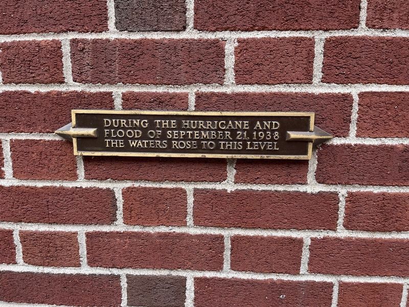
Photographed by Devry Becker Jones (CC0), July 12, 2024
1. Hurricane and Flood of September 21, 1938 Marker
Topics. This historical marker is listed in these topic lists: Disasters • Waterways & Vessels. A significant historical date for this entry is September 21, 1938.
Location. 41° 49.451′ N, 71° 24.926′ W. Marker is in Providence, Rhode Island, in Providence County. It is in Downtown Providence. It is at the intersection of Fountain Street (U.S. 1) and Clemence Street, on the left when traveling north on Fountain Street. Touch for map. Marker is at or near this postal address: 66 Fountain St, Providence RI 02902, United States of America. Touch for directions.

Regionally, this marker is on Rhode Island’s Narragansett Bay. It is also in the American Northeast, in New England, and on the Eastern Seaboard. Globally, it is in the North Atlantic Region, North America, the Western Hemisphere, the Western World, and the Anglosphere. Historically, it finds itself in what was once one of the original Thirteen Colonies.
Other nearby markers. At least 8 other markers are within walking distance of this marker: A different marker also named Hurricane and Flood of September 21, 1938
this page online
Related markers. Click here for a list of markers that are related to this marker. Several identical markers can be found around Downtown Providence.
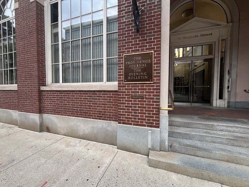
Photographed by Devry Becker Jones (CC0), July 12, 2024
2. Hurricane and Flood of September 21, 1938 Marker
Credits. This page was last revised on July 21, 2024. It was originally submitted on July 21, 2024, by Devry Becker Jones of Washington, District of Columbia. This page has been viewed 132 times since then and 19 times this year. Photos: 1, 2. submitted on July 21, 2024, by Devry Becker Jones of Washington, District of Columbia.
