
Near North Bend in Dodge County, Nebraska — The American Midwest (Upper Plains)
Mormon Trail 1847
⎯⎯⎯
Military Road 1856
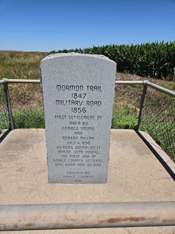
Photographed by Mark Parker, June 26, 2024
1. Mormon Trail 1847 / Military Road 1856 Marker
Erected 1956 by Dodge County.
Topics. This historical marker is listed in these topic lists: Exploration • Roads & Vehicles • Settlements & Settlers. A significant historical date for this entry is July 4, 1856.
Location. 41° 27.792′ N, 96° 48.257′ W. Marker is near North Bend, Nebraska, in Dodge County. It is on Old Lincoln Highway (Old U.S. 30) 0.3 miles east of County Route 6, on the right when traveling west. Touch for map. Marker is in this post office area: North Bend NE 68649, United States of America. Touch for directions.

Regionally, this marker is in Eastern Nebraska and in Greater Omaha. It is also in the American Midwest, in the Corn Belt, and on the prairies. Globally, it is in North America, the Western Hemisphere, the Western World, and the Anglosphere. Historically, it finds itself in what was once the Louisiana Purchase.
Other nearby markers. At least 8 other markers are within 10 miles of this marker, measured
this page online
More about this marker. An information sign directs travelers to the marker on the north side of the highway.
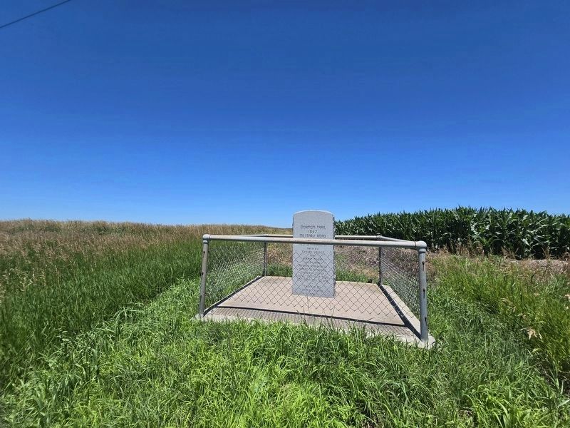
Photographed by Mark Parker, June 26, 2024
2. Wider view of Mormon Trail 1847 / Military Road 1856 Marker
Credits. This page was last revised on July 23, 2024. It was originally submitted on July 21, 2024, by Mark Parker of Hickory, North Carolina. This page has been viewed 186 times since then and 30 times this year. Photos: 1, 2. submitted on July 21, 2024, by Mark Parker of Hickory, North Carolina. • J. Makali Bruton was the editor who published this page.
