
Ridgeville in Mount Airy in Carroll County, Maryland — The American Northeast (Mid-Atlantic)
Parrsville & Ridgeville
Two Towns at the Four Corners
| — | The Road That Built The Nation | — |

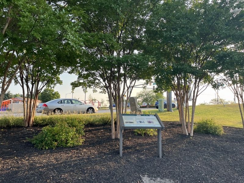
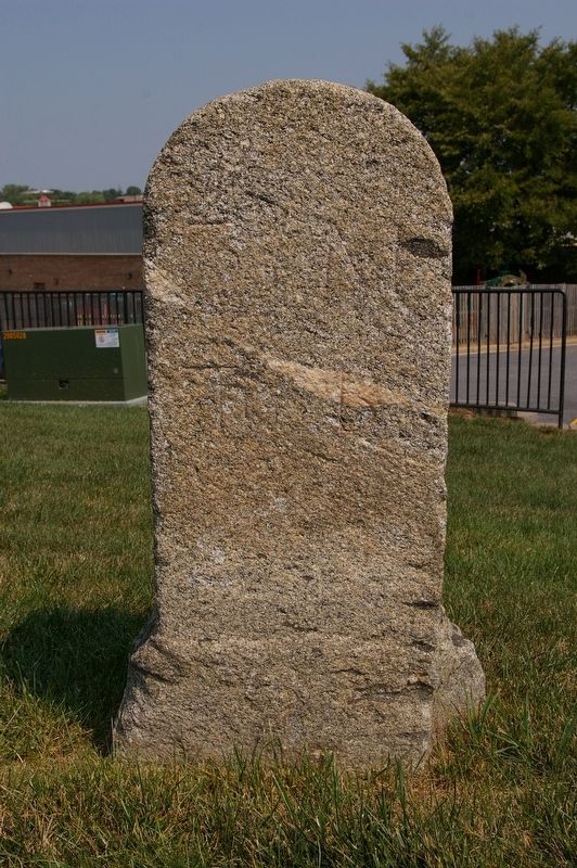
Here at Milestone 31, about 130 feet southeast of its original location, the Baltimore and Frederick-Town Turnpike created two towns as it moved west. Both Parrsville and Ridgeville are now a part of Mount Airy.
Parrsville, to the east, was named for a nearby spring that creates the headwaters of the Patapsco River, flowing east into Baltimore Harbor. Parr’s Spring, an important landmark for early surveyors, is the point of four corners between Carroll, Montgomery, Howard and Frederick Counties.
Just west, Ridgeville is located on an 830-foot tall ridge, the highest point on the National Pike between Baltimore and Braddock Heights. Traveling over this ridge after 1831, the Baltimore & Ohio Railroad hitched up horses to pull cars up two inclines on the east side. Brakemen would guide the train rolling down two more inclines on the west side. After a tunnel was constructed in 1901, travel by rail eclipsed travel by road.
[Captions:]
Located at the important crossroads of the National Road and old Route 27 (Mount Airy Main Street), the Eagle/Nelson/Ridgeville Hotel was a landmark for a century.
The old Ridgeville Garage, serving automobiles traveling on the National Road, doubled as an old-fashioned mile marker, pointing to both Frederick and Baltimore.
Residents of Parrsville, Ridgeville and Mount Airy were employed by the B&O Railroad for generations.
Erected by America's
this page online
Topics and series. This historical marker is listed in these topic lists: Railroads & Streetcars • Roads & Vehicles • Settlements & Settlers. In addition, it is included in the Baltimore and Ohio Railroad (B&O), and the The Historic National Road series lists. A significant historical year for this entry is 1831.
Location. 39° 21.87′ N, 77° 9.668′ W. Marker is in Mount Airy, Maryland, in Carroll County. It is in Ridgeville. It is on East Ridgeville Boulevard just east of Ridgeside Drive, on the right when traveling west. Touch for map. Marker is at or near this postal address: 415 E Ridgeville Blvd, Mount Airy MD 21771, United States of America. Touch for directions.

Regionally, this marker is in Central Maryland. It is also in the American Mid-Atlantic. Globally, it is in North America, the Western Hemisphere, the Western World, and the Anglosphere. Historically, it finds itself in what was once one of the original Thirteen Colonies and also the Antebellum South.
Other nearby markers. At least 8 other markers are within walking distance of this marker: First Location of the Mount Airy School
Another marker is no longer nearby. Parrsville & Ridgeville (has been replaced with this marker).
Related marker. Click here for another marker that is related to this marker. This marker has replaced the linked marker. There are differences in subtitles and attributed erecting organizations.
Photographed by Christopher Busta-Peck
3. Milestone 31 M to B
Credits. This page was last revised on August 1, 2024. It was originally submitted on July 22, 2024, by Devry Becker Jones of Washington, District of Columbia. This page has been viewed 625 times since then and 65 times this year. Photos: 1, 2. submitted on July 22, 2024, by Devry Becker Jones of Washington, District of Columbia. 3. submitted on January 24, 2008, by Christopher Busta-Peck of Shaker Heights, Ohio.
