Wilkes-Barre in Luzerne County, Pennsylvania — The American Northeast (Mid-Atlantic)
Wilkes-Barre
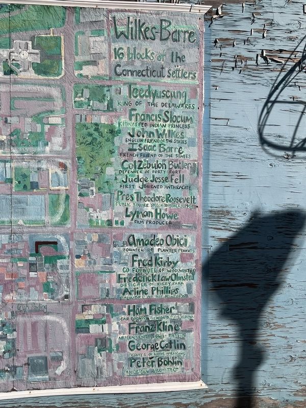
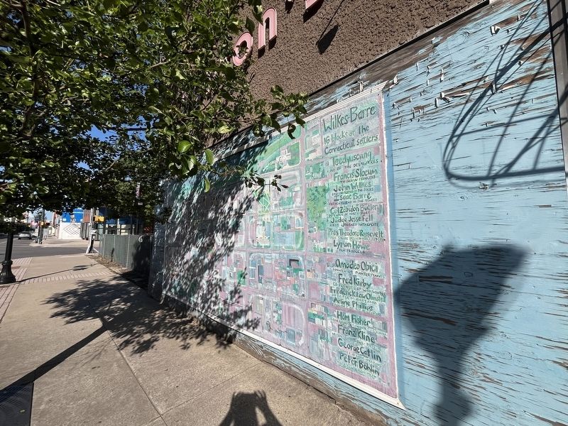
16 blocks of the Connecticut settlers
Teedyuscung King of the Delawares • Francis Slocum Kidnapped Indian princess • John Wilkes English friend of the States • Isaac Barre French friend of the States • Col Zebulon Butler Defender of Forty Fort • Judge Jesse Fell First burned anthracite • Pres. Theodore Roosevelt Public Square speech to miners, 1904 • Lyman Howe Film producer • Amadeo Obici Founder of Planter Peanuts • Fred Kirby Co-founder of Woolworth's • Frederick Law Olmsted Designer of Kirby Park • Arline Phillips Founder of the Blind Assoc. • Ham Fisher Cartoonist, Creator of Joe Palooka • Franz Kline Abstract Expressionist painter • George Catlin Painter of Native Americans • Peter Bohlin American architect
Topics and series. This historical marker is listed in these topic lists: Arts, Letters, Music • Government & Politics • Indigenous Peoples and Communities • Industry & Commerce. In addition, it is included in the Former U.S. Presidents: #26 Theodore Roosevelt series list. A significant historical year for this entry is 1904.
Location. 41° 14.666′ N, 75° 53.081′ W.
this page online

Regionally, this marker is in Anthracite Coal Region and in the Wyoming Valley. It is also in the American Northeast, in the Mid-Atlantic, in Appalachia, and specifically in Northern Appalachia. Globally, it is in North America, the Western Hemisphere, the Western World, and the Anglosphere. Historically, it finds itself in what was once the Haudenosaunee (Iroquois) Confederacy and also one of the original Thirteen Colonies.
Other nearby markers. At least 8 other markers are within walking distance of this marker: F.M. Kirby & Co. Store (about 600 feet away, measured in a direct line); Jesse Fell (about 700 feet away); Slattery Home Site (about 700 feet away); Florence Foster Jenkins (about 800 feet away); Main Street (approx. 0.2 miles away); Sordoni Art Gallery (approx. 0.2 miles away); Christopher Columbus (approx. 0.2
Credits. This page was last revised on July 22, 2024. It was originally submitted on July 22, 2024, by Devry Becker Jones of Washington, District of Columbia. This page has been viewed 216 times since then and 43 times this year. Photos: 1, 2. submitted on July 22, 2024, by Devry Becker Jones of Washington, District of Columbia.
