Near Caroga Lake in Fulton County, New York — The American Northeast (Mid-Atlantic)
State Land
Photographed by Steve Stoessel, July 22, 2024
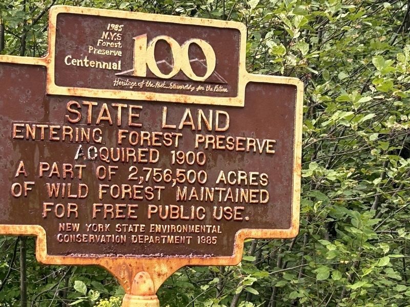
1. Entering State Land Marker
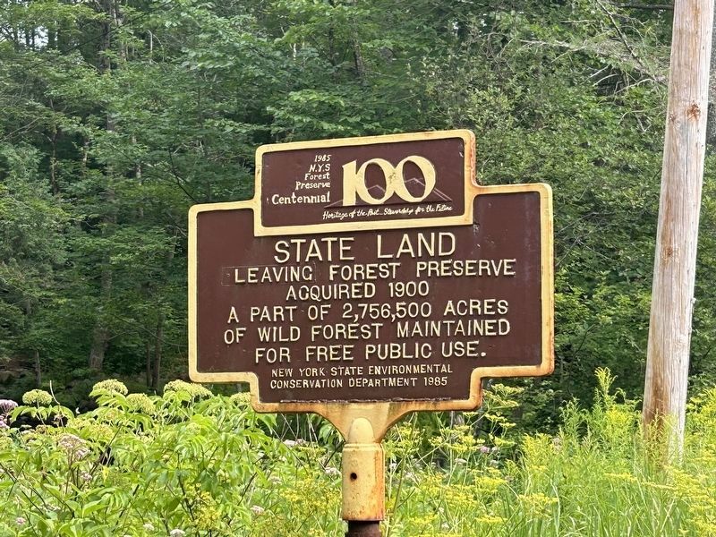
Entering/ Leaving forest preserve. Acquired 1900 a part of 2,756,500 acres of wild forest maintained for free public use.
1985 N.Y.S. Forest Preserve Centennial
Heritage of the Past … Stewardship for the Future
Erected 1985 by NYS Environmental Conservation Department.
Topics. This historical marker is listed in this topic list: Parks & Recreational Areas. A significant historical year for this entry is 1900.
Location. 43° 11.575′ N, 74° 31.449′ W. Marker is near Caroga Lake, New York, in Fulton County. It is on New York 10 0.1 miles north of New York State Route 29A, on the right when traveling north. Touch for map. Marker is in this post office area: Caroga Lake NY 12032, United States of America. Touch for directions.

Regionally, this marker is in Upstate New York and in the Mohawk Valley. It is also in the American Northeast and in the Mid-Atlantic. Globally, it is in North America, the Great North Woods, the Western Hemisphere, the Western World, and the Anglosphere. Historically, it finds itself in what was once the Haudenosaunee (Iroquois) Confederacy, New Netherland, and one of the original
this page online
Other nearby markers. At least 8 other markers are within 8 miles of this marker, measured as the crow flies: Site of Wheelerville Tannery (approx. 3 miles away); Town of Caroga War Memorial (approx. 3.4 miles away); Last Home (approx. 5½ miles away); Bleecker Center Cemetery (approx. 7.1 miles away); Doc's Drop (approx. 7.6 miles away); St. John's Lutheran Cemetery (approx. 7.6 miles away); Royal Mountain (approx. 7.9 miles away); Last Mill (approx. 7.9 miles away). Touch for a list and map of all markers in Caroga Lake.
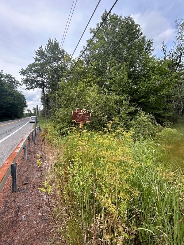
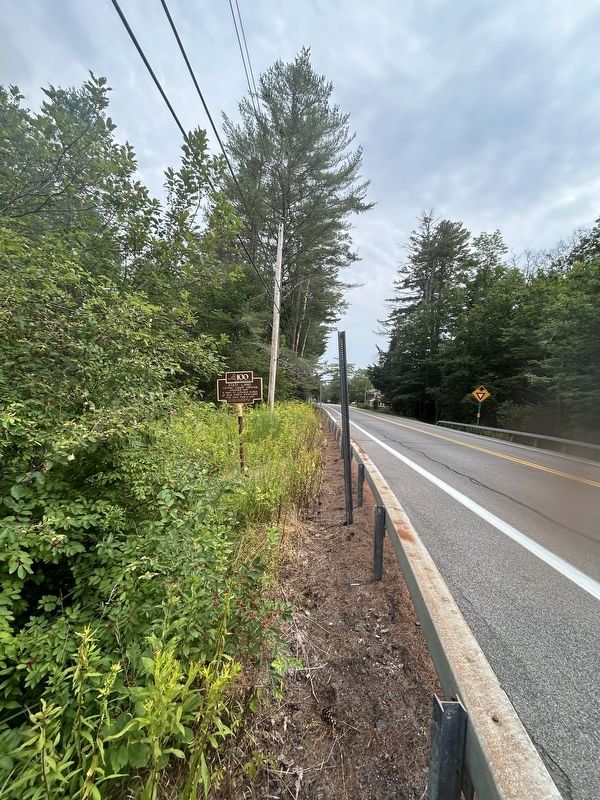
More about this marker. The marker has two different sides. When going north, marker indicates that you are entering state land, and when going south, you are leaving state land.
Also see . . . Adirondack Park. (Submitted on July 22, 2024, by Steve Stoessel of Niskayuna, New York.)
Photographed by Steve Stoessel, July 22, 2024
2. Leaving State Land Marker
Photographed by Steve Stoessel, July 22, 2024
3. Entering State Land Marker
Photographed by Steve Stoessel, July 22, 2024
4. Leaving State Land Marker
Credits. This page was last revised on July 23, 2024. It was originally submitted on July 22, 2024, by Steve Stoessel of Niskayuna, New York. This page has been viewed 127 times since then and 20 times this year. Photos: 1. submitted on July 22, 2024, by Steve Stoessel of Niskayuna, New York. 2. submitted on July 23, 2024, by Steve Stoessel of Niskayuna, New York. 3. submitted on July 22, 2024, by Steve Stoessel of Niskayuna, New York. 4. submitted on July 23, 2024, by Steve Stoessel of Niskayuna, New York.
