Gladstone in Clay County, Missouri — The American Midwest (Upper Plains)
Historic Linden, Missouri
Photographed by Duane and Tracy Marsteller, June 30, 2024
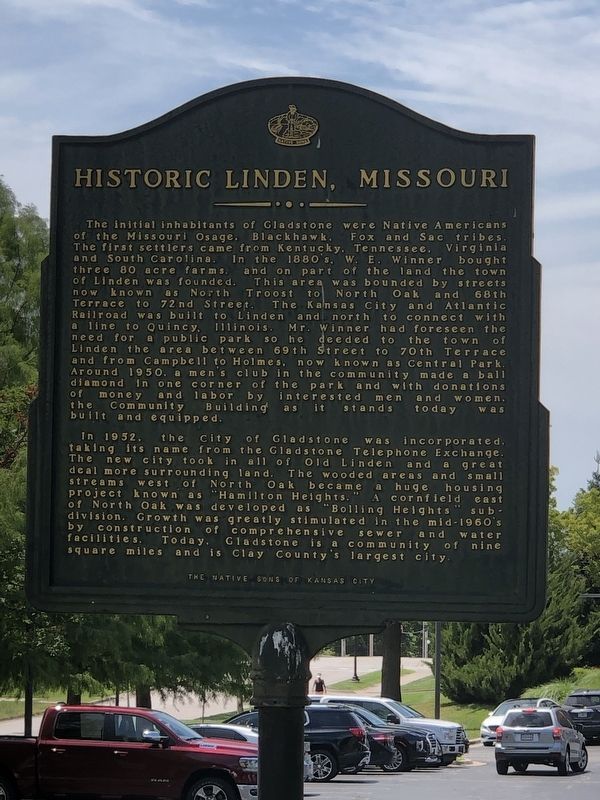
1. Historic Linden, Missouri Marker
In 1952, the City of Gladstone was incorporated, taking its name from the Gladstone Telephone Exchange. The new city took in all of Old Linden and a great deal more surrounding land. The wooded areas and
this page online
Erected 2001 by Native Sons of Kansas City. (Marker Number 24.)
Topics. This historical marker is listed in these topic lists: Indigenous Peoples and Communities • Settlements & Settlers. A significant historical year for this entry is 1950.
Location. 39° 13.204′ N, 94° 34.157′ W. Marker is in Gladstone, Missouri, in Clay County. It is at the intersection of North Campbell Street and Northeast 69th Street, on the right when traveling south on North Campbell Street. Touch for map. Marker is at or near this postal address: 6905 N Campbell St, Kansas City MO 64118, United States of America. Touch for directions.

Regionally, this marker is in the Missouri River Corridor and in Greater Kansas City. It is also in the American Midwest, in the Lewis & Clark Corridor,
Photographed by Duane and Tracy Marsteller, June 30, 2024
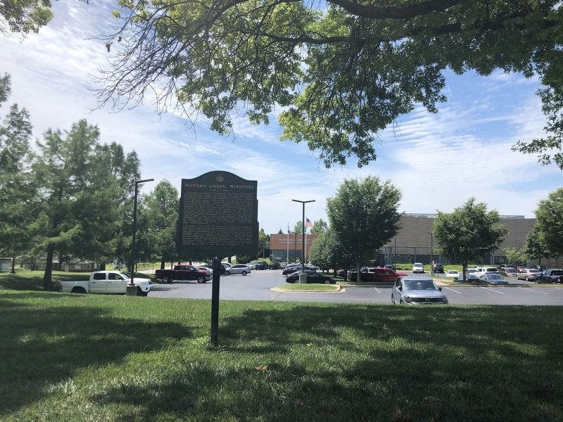
2. Historic Linden, Missouri Marker
Other nearby markers. At least 8 other markers are within 3 miles of this marker, measured as the crow flies: Atkins-Johnson Farmhouse (approx. 2.1 miles away); Atkins-Johnson House (approx. 2.1 miles away); Atkins-Johnson Farm (approx. 2.1 miles away); Old Pike Road / Ferry Boat Operators at Kawsmouth (approx. 2.4 miles away); Antioch Church (approx. 2.9 miles away); a different marker also named Antioch Church (approx. 2.9 miles away); a different marker also named Antioch Church (approx. 2.9 miles away); Old Western Border of the United States (approx. 2.9 miles away). Touch for a list and map of all markers in Gladstone.
Credits. This page was last revised on July 24, 2024. It was originally submitted on July 24, 2024, by Duane and Tracy Marsteller of Murfreesboro, Tennessee. This page has been viewed 1,544 times since then and 190 times this year. Photos: 1, 2. submitted on July 24, 2024, by Duane and Tracy Marsteller of Murfreesboro, Tennessee.
