Osdorp in Amsterdam, North Holland, Netherlands — Northwestern Europe
Molen van Sloten
⎯⎯⎯
Sloten Windmill
Photographed by Andrew Ruppenstein, July 6, 2024
1. Molen van Sloten / Sloten Windmill Marker

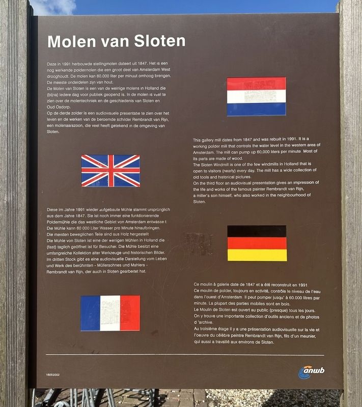
De Molen van Sloten is een van de weinige molens in Holland die (bijna) ledere dag voor publiek geopend is. In de molen is veel te zien over de molentechniek en de geschiedenis van Sloten en Oud Osdorp.
Op de derde zolder is een audiovisuele presentatie te zien over het leven en de werken van de beroemde schilder Rembrandt van Rijn, een molenaarszoon, die veel heeft getekend in de omgeving van Sloten.
The Sloten Windmill is one of the few windmills in Holland that is open to visitors (nearly) every day. The mill has a wide collection of old tools and historical pictures.
On the third floor an audiovisual
this page online
Le
Photographed by Andrew Ruppenstein, July 6, 2024
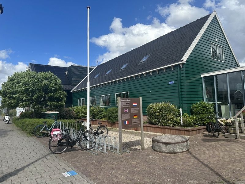
2. Molen van Sloten / Sloten Windmill Marker - wide view
Au troisième étage il y a une présentation audiovisuelle sur la vie et l'oeuvre du célèbre peintre Rembrandt van Rijn, fils d'un meunier, qui aussi a travaillé aux environs de Sloten.
Erected by the ANWB. (Marker Number 18065/02.)
Topics and series. This historical marker is listed in this topic list: Man-Made Features. In addition, it is included in the Windmills series list. A significant historical year for this entry is 1991.
Location. 52° 20.502′ N, 4° 47.531′ E. Marker is in Amsterdam, Noord-Holland (North Holland). It is in Osdorp. It is on Akersluis west of Langsom, on the right when traveling north. Touch for map. Marker is at or near this postal address: Akersluis 8D, Amsterdam, Noord-Holland 1066 ER, Netherlands. Touch for directions.

Regionally, it is in Europe, the European Union, Atlantic Europe, the Benelux Low Countries, the Schengen Area, Western Europe, and the Western World. Historically, it finds itself in what was once the Holy Roman Empire.
Other nearby markers. At
Photographed by Andrew Ruppenstein, July 6, 2024
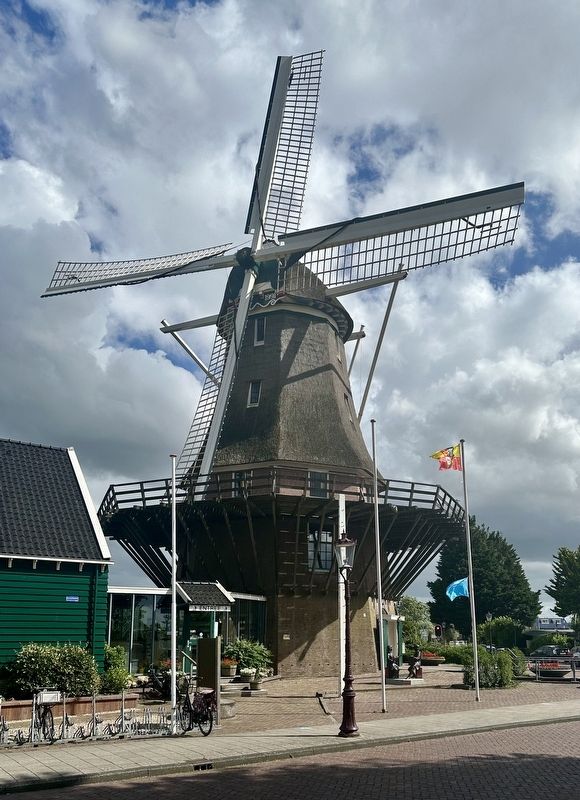
3. Molen van Sloten / Sloten Windmill and Marker, as seen from the west
The back of the marker is visible here by the bicycle.
Also see . . . History (Molen van Sloten).
Excerpt: The ‘Mill of Sloten’ is a draining mill, located in the ancient village of Sloten, just within the Amsterdam city borders and not far from Schiphol Airport.(Submitted on July 24, 2024.)
It is an octagonal thatched oak wood mill, situated alongside to the Haarlemmermeer Ring canal. Together with the ‘Akergemaal’, an electrical water pump, the mill is taking care of the de-watering of Amsterdam West.
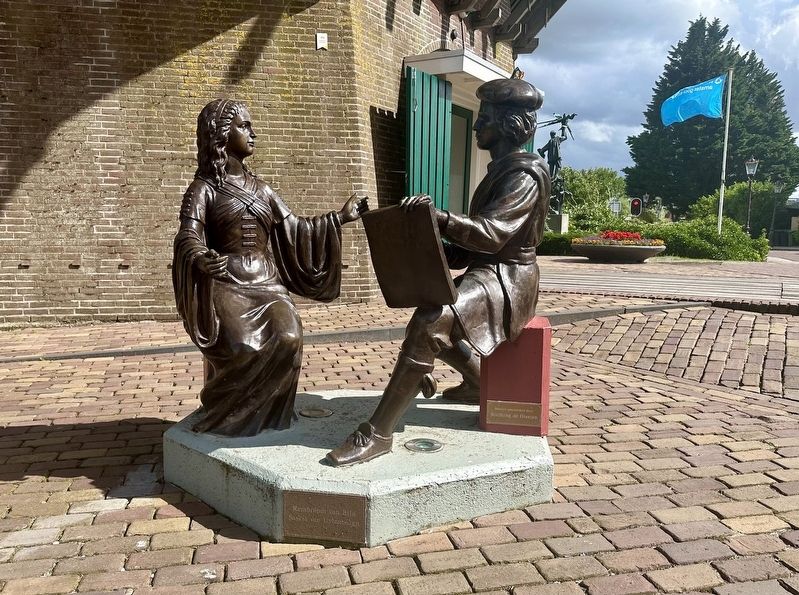
The original mill, the Riekermolen dating from 1636, was relocated in 1956 nearby theriver Amstel, elsewhere in Amsterdam. However, in 1991 Sloten again had its mill. A mill build in 1847 in Amsterdam east, was reconstructed on a stone substructure and platform. The hood, wicks and mortar, the screw of Archimedes, are new.Photographed by Andrew Ruppenstein, July 6, 20244. Rembrandt and SaskiaOn the west side of the mill is a statue of the painter Rembrandt van Rijn sitting with his wife, Saskia van Uylenburgh.
Credits. This page was last revised on July 24, 2024. It was originally submitted on July 24, 2024, by Andrew Ruppenstein of Lamorinda, California. This page has been viewed 107 times since then and 11 times this year. Photos: 1, 2, 3, 4. submitted on July 24, 2024, by Andrew Ruppenstein of Lamorinda, California.
