Jim Thorpe in Carbon County, Pennsylvania — The American Northeast (Mid-Atlantic)
All Aboard
1827 - 1937
| — | Delaware & Lehigh National Heritage Corridor | — |
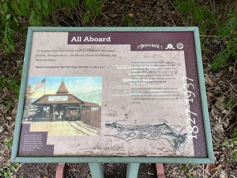
"A quarter of an hour's walk from the hotel up a very steep incline…brought me to…the Mauch Chunk and Summit Hill Railroad Depot."
"Special Correspondent, New York Times, December 14, 1872, p 3."
The Mauch Chunk Depot that stood on this site for many years fit the mold. Like most transit stations of its day, it provided a ticket office, a place to relax, a souvenir shop, and an adjoining restaurant that overlooked the river. Each year, it welcomed thousands of tourists bubbling with excitement and eager to begin a thrilling, scenic 18-mile round trip ride on the Switch Back Railroad.
As an empty coach arrived, passengers swarmed aboard. With its brakes released and a gentle push applied by the conductor, the fully laden coach coasted slowly to the foot of the Mt. Pisgah Plane about 200 yards ahead. The ride had begun.
[Caption:]
When it opened in 1873, the Switch Back Railroad offered a thrilling ride to delighted tourists. After the railroad closed in 1933, it lay dormant for four years until razed in 1937 along with the Depot.
Erected by Carbon County, Pennsylvania; Delaware & Lehigh National Heritage
this page online
Topics. This historical marker is listed in these topic lists: Parks & Recreational Areas • Railroads & Streetcars. A significant historical date for this entry is December 14, 1872.
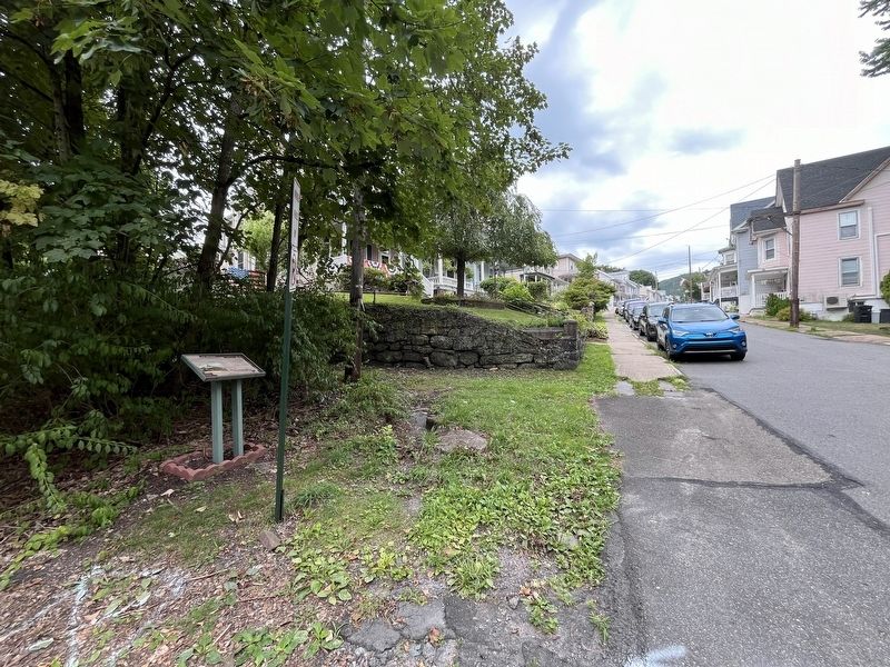
Location. 40° 51.998′ N, 75° 44.27′ W. Marker is in Jim Thorpe, Pennsylvania, in Carbon County. It is at the intersection of Center Avenue and Church Alley, on the left when traveling west on Center Avenue. Touch for map. Marker is at or near this postal address: 87 Center Ave, Jim Thorpe PA 18229, United States of America. Touch for directions.

Regionally, this marker is in Anthracite Coal Region and in the Pocono Mountains. It is also in the American Northeast, in the Mid-Atlantic, in Appalachia, and specifically in Northern Appalachia. Globally, it is in North America, the Western Hemisphere, the Western World, and the Anglosphere. Historically, it finds itself in what was once the Haudenosaunee (Iroquois) Confederacy and also one of the original Thirteen Colonies.
Other nearby markers. At least 8 other markers are within walking distance of this marker: Lock No. 1, Lehigh Canal Upper Division (about 300 feet away, measured in a direct
Credits. This page was last revised on July 24, 2024. It was originally submitted on July 24, 2024, by Devry Becker Jones of Washington, District of Columbia. This page has been viewed 202 times since then and 23 times this year. Photos: 1, 2. submitted on July 24, 2024, by Devry Becker Jones of Washington, District of Columbia.
