
Salisbury in Wiltshire, England, United Kingdom — Northwestern Europe (the British Isles)
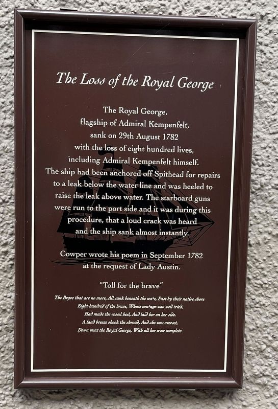
The Loss of the Royal George
Photographed by Ray Gurganus, April 3, 2024
1. The Loss of the Royal George Marker
Cowper wrote his poem in September 1782 at the request of Lady Austin.
"Toll for the brave"
The Brave that are no more, All sunk beneath the wake, Fast by their native shore
Eight hundred of the brave, Whose courage was well tried,
Had made the vessel heel, And laid her on her side.
A land breeze shook the shroud, And she was overset,
Down went the Royal George, With all her crew complete
Topics. This historical marker is listed in these topic lists: Disasters • Waterways & Vessels. A significant historical date for this entry is August 29, 1782.
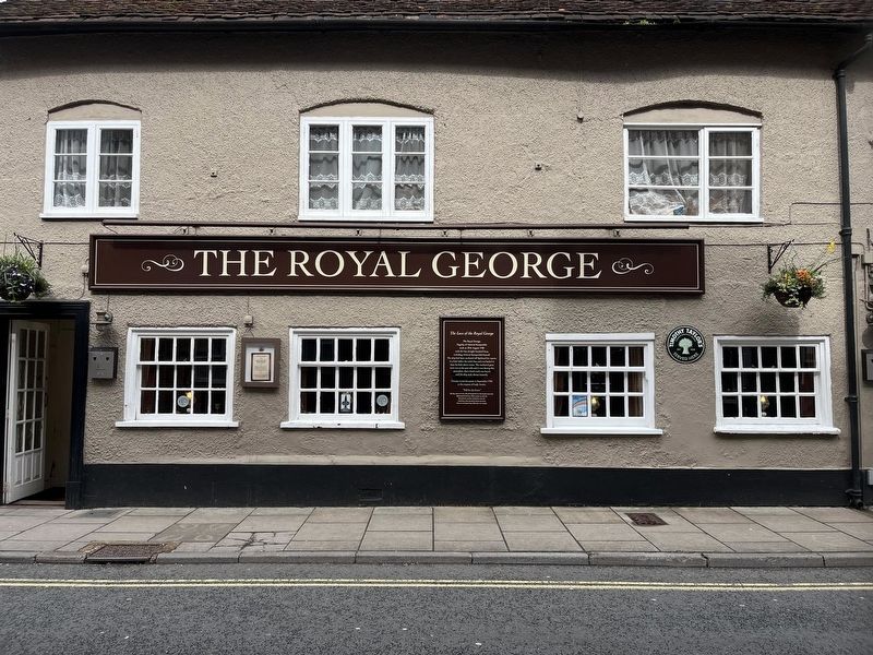
Location. 51° 4.288′ N, 1° 47.644′ W. Marker is in Salisbury, England, in Wiltshire. It is on Bedwin Street, on the left when traveling east. Touch for map. Marker is at or near this postal address: 17 Bedwin Street, Salisbury, England SP1 3UT, United Kingdom. Touch for directions.

Regionally, this marker is in South West England. Globally, it is on the Atlantic Ocean, in the North Atlantic Region, in Europe, in Atlantic Europe, on one of the British Isles, in the Western World, and in the Anglosphere. Historically, it finds itself in what was once the Roman Empire.
Other nearby markers. At least 8 other markers are within 13 kilometers of this marker, measured as the crow flies: The Crispin Inn (about 90 meters away, measured in a direct line); St Edmund's House (about 90 meters away); Andrew B Middleton (approx. 0.4 kilometers
this page online
Photographed by Ray Gurganus, April 3, 2024
2. The Loss of the Royal George Marker
Photographed by F. Whymper (courtesy of Freshwater and Marine Image Bank, University of Washington Libraries), 1883
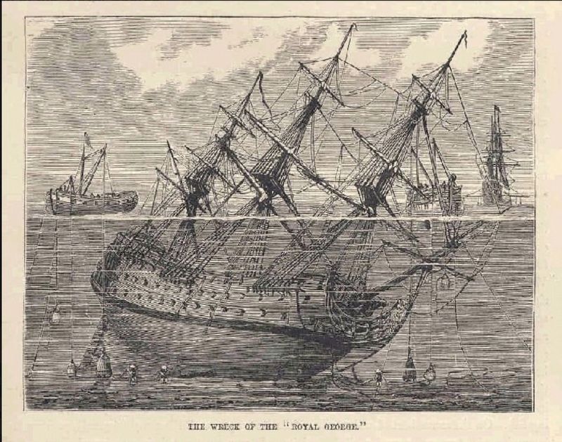
3. The Wreck of the “Royal George”
Credits. This page was last revised on July 24, 2024. It was originally submitted on July 24, 2024, by Ray Gurganus of Washington, District of Columbia. This page has been viewed 103 times since then and 11 times this year. Photos: 1, 2. submitted on July 24, 2024, by Ray Gurganus of Washington, District of Columbia. 3. submitted on July 24, 2024. • Andrew Ruppenstein was the editor who published this page.
