Lancaster in Lancaster County, South Carolina — The American South (South Atlantic)
Lancaster County Home and Cemetery

Photographed by Ronald Patton, August 28, 2023
1. Lancaster County Home and Cemetery Marker
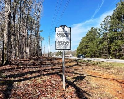
The Lancaster Commissioners of the Poor were established in 1791 to provide support for the orphaned, aged, and indigent. In 1867 Dr. J. Marton Sims donated $1,000 in gold to the Commission. They used the funds to improve and expand the county poor house, renaming it the Sims Home. A new, 16-room home was completed in 1914 and replaced the old complex, which had consisted of a number of smaller buildings. (Continued on other side)
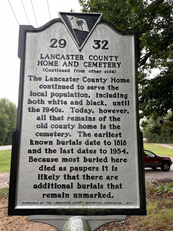
(Continued from other side)
The Lancaster County Home continued to serve the local population, including both white and black, until the 1940s. Today, however, all that remains of the old county home is the cemetery. The earliest known burials date to 1818 and the last dates to 1954. Because most buried here died as paupers it is likely that there are additional burials that remain unmarked.
Erected 2017 by Lancaster County Historical Society. (Marker Number 29-32.)
Topics. This historical marker is listed in these topic lists: Cemeteries & Burial Sites • Charity & Public Work. A significant historical year for this entry is 1791.
Location. 34° 43.401′ N, 80° 43.535′ W. Marker is
this page online

Regionally, this marker is in the Midlands and in the Olde English District. It is also in the American South and specifically in the Deep South. Globally, it is in North America, the Western Hemisphere, the Western World, and the Anglosphere. Historically, it finds itself in what was once the territory of the Mississippian Culture, one of the original Thirteen Colonies, one of the Confederate States of America, and the Antebellum South.
Other nearby markers. At least 8 other markers are within 3 miles of this marker, measured as the crow flies: Clinton Memorial Cemetery / Isom C. Clinton (approx. 2.3 miles away); Lancaster Normal and Industrial Institute (approx. 2.4 miles away); Lancaster & Chester Railway (approx. 2.4 miles away); The Springs Block (approx. 2½ miles away); Lancaster (approx. 2½ miles
Photographed by Ronald Patton, August 28, 2023
2. Lancaster County Home and Cemetery Marker Reverse
Photographed by Ronald Patton, February 14, 2025
3. Lancaster County Home and Cemetery Marker
Credits. This page was last revised on February 21, 2025. It was originally submitted on July 25, 2024, by Ronald Patton of Lancaster, South Carolina. This page has been viewed 361 times since then and 65 times this year. Photos: 1, 2. submitted on July 25, 2024, by Ronald Patton of Lancaster, South Carolina. 3. submitted on February 21, 2025, by Ronald Patton of Lancaster, South Carolina. • Bernard Fisher was the editor who published this page.
