Dunnsville in Essex County, Virginia — The American South (Mid-Atlantic)
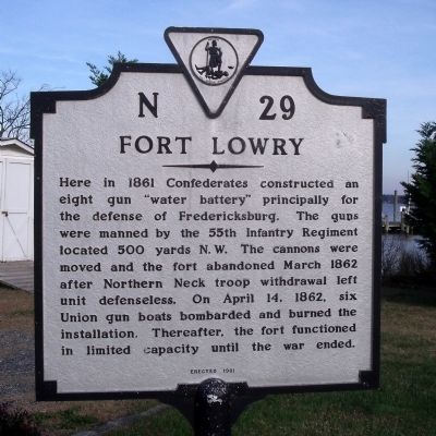
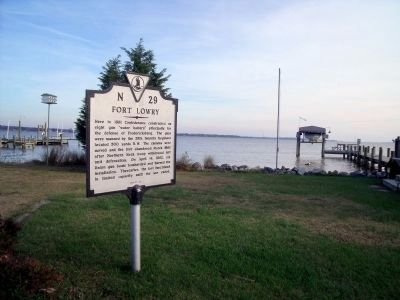
Fort Lowry
Erected 1981. (Marker Number N-29.)
Topics and series. This historical marker is listed in these topic lists: Forts and Castles • War, US Civil. In addition, it is included in the Virginia Department of Historic Resources (DHR) series list. A significant historical year for this entry is 1861.
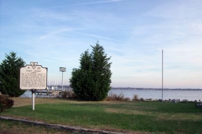
Location. 37° 53.676′ N, 76° 47.685′ W. Marker is in Dunnsville, Virginia, in Essex County. Marker is on River Place (Virginia Route 680) 0.3 miles north of Shellfield Road (Virginia Route 666), on the right when traveling north. Touch for map. Marker is in this post office area: Dunnsville VA 22454, United States of America. Touch for directions.
Other nearby markers. At least 8 other markers are within 5 miles of this marker, measured as the crow flies. Fort Lowry-Camp Byron (approx. 2.9 miles away); Site of Rappahannock Industrial Academy (approx. 3.8 miles away); Rappahannock Industrial Academy (approx. 3.8 miles away); The Manning House (approx. 4.2 miles away); Enduring Records (approx. 4.2 miles away); The Golden Leaf that Built a Port (approx. 4.2 miles away); Max Silver (approx. 4.2 miles away); Blake-Brockenbrough Cemetery (approx. 4.2 miles away). Touch for a list and map of all markers in Dunnsville.
Also see . . . On the Road in Essex County - N-29 Fort Lowry. 2019 article by Zorine Shirley at the River County News. Scroll down for the section on Fort Lowry. Excerpt:
In 1862, after a year of construction, the fort was vacated because Confederate commanders abandoned the Northern Neck leaving the fort defenseless. The cannons were moved upstream to Fredericksburg and on April 14th of that same year, Fort Lowry was destroyed before a single hostile shot was fired. The 55th went on to serve with Lee. The Union gun boats that destroyed Fort Lowry, occupied Tappahannock for a short time before moving further north.(Submitted on September 17, 2020.)
Credits. This page was last revised on July 6, 2021. It was originally submitted on December 7, 2009, by Bernard Fisher of Richmond, Virginia. This page has been viewed 1,537 times since then and 58 times this year. Photos: 1, 2, 3. submitted on December 7, 2009, by Bernard Fisher of Richmond, Virginia.


