Eastham in Barnstable County, Massachusetts — The American Northeast (New England)
Nauset Beach Light Station, a Shifting Landmark
Cape Cod National Seashore
| — | National Park Service, U.S. Department of the Interior | — |
Photographed by Brandon D Cross, September 20, 2019
1. Nauset Beach Light Station, a Shifting Landmark Marker
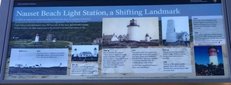
In 1836, in response to numerous shipwrecks in the area, 21 residents of Eastham petitioned the Boston Marine Society for a lighthouse. The first Nauset Beach Light Station was built more than 500 feet east of this spot. Because of constant beach erosion, the light station had to be moved westward four times, so far.
1838
The original light station consisted of three 15-foot-high masonry towers, a brick keeper's house, an outhouse, and a well.
1875
A second keeper's residence was added to the light station. This wooden house is the one you see before you.
1877
Two white cast iron lighthouses were constructed in Chatham, Massachusetts, the third generation of twin towers at that location
1892
Due to erosion, the original "Three Sisters" lighthouses were replaced by three 22-foot-high wooden towers. These lighthouses have been restored and you can visit them, a short walk from here. The brick oil house was constructed in 1891.
1911
The center tower was moved back from the edge of the bluff, and the two outer towers were removed. Instead of the three stationary lanterns, a revolving (flashing) light was installed
this page online
In 1912, the original brick keeper's house was demolished.
1923
The second tower in Chatham was no longer needed, so it was disassembled and moved to Eastham.
1940
The top of the lighthouse was painted red to aid in daytime identification, giving Nauset Light its iconic look.
1950s
Electricity came to Eastham and Nauset Light was automated. Th lighthouse keeper was no longer needed and the keeper's house was sold.
1996
The Nauset Light Preservation Society (formed in 1994) raised funds to help move the lighthouse and the oil house to their present location. Two years later, the keepers house was moved.
Erected by Cape Cod National Seashore and the Nauset Light Preservation Society.
Topics and series. This historical marker is listed in these topic lists: Communications • Disasters • Landmarks • Waterways & Vessels. In addition, it is included in the Lighthouses series list. A significant historical year for this entry is 1836.
Location. 41° 51.616′ N, 69° 57.153′ W. Marker is in Eastham, Massachusetts, in Barnstable County. It is on Nauset Light Beach Road 0.2 miles north of Cable Road,
Photographed by Brandon D Cross, September 20, 2019
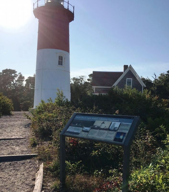
2. Nauset Beach Light Station and the Marker

Regionally, this marker is on Massachusetts’ Cape Cod. It is also in the American Northeast, in New England, and on the Eastern Seaboard. Globally, it is in the North Atlantic Region, North America, the Western Hemisphere, the Western World, and the Anglosphere. Historically, it finds itself in what was once one of the original Thirteen Colonies.
Other nearby markers. At least 8 other markers are within 2 miles of this marker, measured as the crow flies: The Nauset Lights (within shouting distance of this marker); Keeping the Light for 114 Years (within shouting distance of this marker); Pushed Back by the Sea (within shouting distance of this marker); The Long, Black Cable (within shouting distance of this marker); Adapting to Nature (about 700 feet away, measured in a direct line); Three Sisters Lit the Way (approx. ¼ mile away); Doane Rock (approx. 1.1 miles away); The Outermost House (approx. 1.2 miles away). Touch for a list and map
Photographed by Brandon D Cross, September 20, 2019
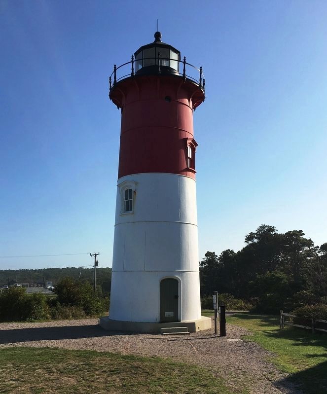
3. Nauset Beach Light Station
Credits. This page was last revised on July 31, 2026. It was originally submitted on October 23, 2019, by Brandon D Cross of Flagler Beach, Florida. This page has been viewed 491 times since then and 51 times this year. Last updated on July 31, 2026, by J.T. Lambrou of New Boston, Michigan. Photos: 1. submitted on October 23, 2019, by Brandon D Cross of Flagler Beach, Florida. 2, 3. submitted on October 26, 2019, by Brandon D Cross of Flagler Beach, Florida. • Devry Becker Jones was the editor who published this page.
