Port Clinton in Schuylkill County, Pennsylvania — The American Northeast (Mid-Atlantic)
Moncure Robinson Home
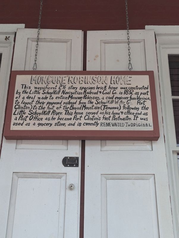
Photographed by William Pope, July 28, 2024
1. Moncure Robinson Home Marker
Topics. This historical marker is listed in these topic lists: Notable Buildings • Railroads & Streetcars • Waterways & Vessels. A significant historical year for this entry is 1832.
Location. 40° 34.833′ N, 76° 1.5′ W. Marker is in Port Clinton, Pennsylvania, in Schuylkill County. It is on Penn Street north of Broad Street, on the right when traveling north. Touch for map. Marker is at or near this postal address: 24 Penn Street, Lenhartsville PA 19534, United States of America. Touch for directions.

Regionally, this marker is in Pennsylvania’s Anthracite Coal Region.
this page online
Other nearby markers. At least 8 other markers are within 4 miles of this marker, measured as the crow flies: Geiger's Mill (approx. 2.6 miles away); Historic Hamburg (approx. 2.6 miles away); State Street Bridge (approx. 2.6 miles away); Richard L. Etchberger (approx. 2.7 miles away); 4th & Pine circa 1800's (approx. 3 miles away); Martin Kaercher Jr. (approx. 3 miles away); War Memorial (approx. 3 miles away); Fort Lebanon (approx. 3.2 miles away).
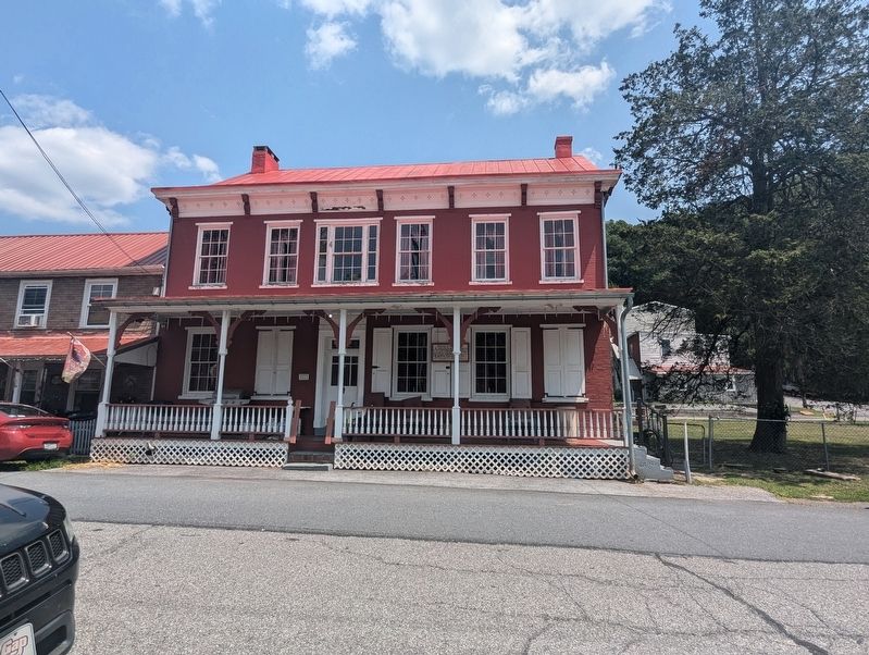
Photographed by William Pope, July 28, 2024
2. Moncure Robinson Home Marker
Credits. This page was last revised on July 31, 2024. It was originally submitted on July 28, 2024, by William Pope of Marietta, Pennsylvania. This page has been viewed 331 times since then and 25 times this year. Photos: 1, 2. submitted on July 28, 2024, by William Pope of Marietta, Pennsylvania. • Devry Becker Jones was the editor who published this page.
