Near Mattaponi in King and Queen County, Virginia — The American South (Mid-Atlantic)
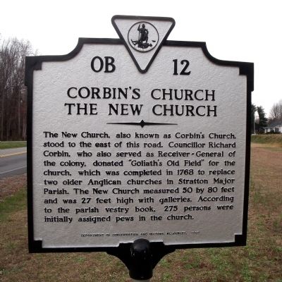
Corbin's Church
The New Church
Erected 1989 by Department of Conservation and Historic Resources. (Marker Number OB-12.)
Topics and series. This historical marker is listed in these topic lists: Churches & Religion • Colonial Era. In addition, it is included in the Virginia Department of Historic Resources (DHR) series list. A significant historical year for this entry is 1768.
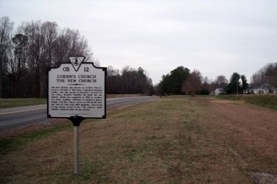
Location. 37° 33.76′ N, 76° 44.814′ W. Marker is near Mattaponi, Virginia, in King and Queen County. Marker is on The Trail (Virginia Route 14) 0.1 miles south of Wolf Pond Road, on the right when traveling north. Touch for map. Marker is in this post office area: Mattaponi VA 23110, United States of America. Touch for directions.
Other nearby markers. At least 8 other markers are within 4 miles of this marker, measured as the crow flies. Laneville (approx. 1.8 miles away); King William County / King and Queen County (approx. 3.1 miles away); Indian Treaty of 1646 (approx. 3.1 miles away); Indians Poisoned At Peace Meeting (approx. 3.1 miles away); Colonial Church (approx. 3.1 miles away); Veterans Memorial (approx. 3.3 miles away); A Salute To Veterans (approx. 3.3 miles away); Lt. Gen. Lewis Burwell “Chesty” Puller (approx. 3.4 miles away). Touch for a list and map of all markers in Mattaponi.
Credits. This page was last revised on June 16, 2016. It was originally submitted on December 8, 2009, by Bernard Fisher of Richmond, Virginia. This page has been viewed 1,235 times since then and 26 times this year. Photos: 1, 2. submitted on December 8, 2009, by Bernard Fisher of Richmond, Virginia.

