New Franklin in Howard County, Missouri — The American Midwest (Upper Plains)
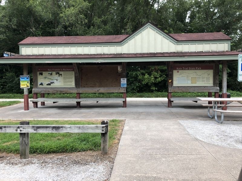
New Franklin to Rocheport

Photographed by Duane and Tracy Marsteller, July 1, 2024
1. New Franklin to Rocheport Marker
The former site of Pearsons at milepost 184.5 has a panorama of cropfields and the remains of an old tile grain elevator. Davisdale Conservation Area (milepest 182.1) offers primitive camping, hiking, picnicking, hunting, fishing and other outdoor activities. Starting at milepost 180, Diana Bend Conservation Area gives Katy Trail visitors an opportunity to visit a wetland.
At milepost 178.9 is the one and only tunnel on the former Missouri, Kansas & Texas line (MKT). The blackened ceiling stands as a reminder of the trains that passed through this tunnel from 1893 to 1986. Trail users should note the outstanding stonework. The tunnel is in
this page online
Just past the tunnel, to the right around the bluff, is the Diana Bend Conservation Area overlook. The Katy Trail crosses Moniteau Creek before entering Rocheport.
[Captions, east to west]
• Milepost 187.8 The bridge over Boone Femme Creek is about 150 feet long. It was built in 1897.
• Milepost 186.6-186.1 Scenic views are found along this section of trail.
• Milepost 184.5 The town of Pearsons had at least one store during its heyday. Now, just this old clay-tile grain elevator remains, the only one along the Katy. This elevator is on private property.
• Milepost 180-178.9 Diana Bend Conservation Area borders the trail.
• Milepost 178.9 This picturesque, cut-stone arched tunnel was built in 1892-93 and is 243 feet long. It was the only tunnel on the MKT line.
Erected by Missouri State Parks.
Topics and series. This historical marker is listed in these topic lists: Bridges & Viaducts • Environment • Exploration • Railroads & Streetcars. In addition, it is included in the Katy Trail State Park series list. A significant historical date for this entry is June 7, 1804.
Location. 39° 0.75′ N,
Photographed by Duane and Tracy Marsteller, July 1, 2024
2. New Franklin to Rocheport Marker
This marker is on the left.

Regionally, this marker is in Little Dixie and in the Missouri River Corridor. It is also in the American Midwest, in the Lewis & Clark Corridor, in the Corn Belt, and on the Santa Fe Trail Corridor. Globally, it is in North America, the Western Hemisphere, the Western World, and the Anglosphere. Historically, it finds itself in what was once the territory of the Mississippian Culture, the Louisiana Purchase, and the Antebellum South.
Other nearby markers. At least 8 other markers are within walking distance of this marker: Santa Fe Trail (here, next to this marker); History of New Franklin (here, next to this marker); Katy Caboose #127 (about 500 feet away, measured in a direct line); South Howard County Historical Society Conestoga Wagon Replica (about 500 feet away); The New Franklin Viaduct (about 500 feet away); Franklin: Mother of the Santa Fe Trail (about 600 feet away); Josiah Gregg (about 600 feet away); Ezekiel Williams (about 600 feet away). Touch for a list and map of all markers in New Franklin.
Credits. This page was last revised on July 28, 2024. It was originally submitted on July 28, 2024, by Duane and Tracy Marsteller of Murfreesboro, Tennessee. This page has been viewed 224 times since then and 53 times this year. Photos: 1, 2. submitted on July 28, 2024, by Duane and Tracy Marsteller of Murfreesboro, Tennessee.
