Lavale in Allegany County, Maryland — The American Northeast (Mid-Atlantic)
The Cumberland Barrack
Photographed by Bradley Owen, July 28, 2024
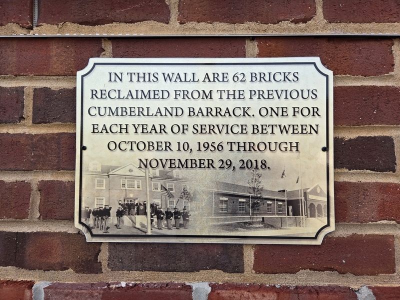
1. The Cumberland Barrack Marker
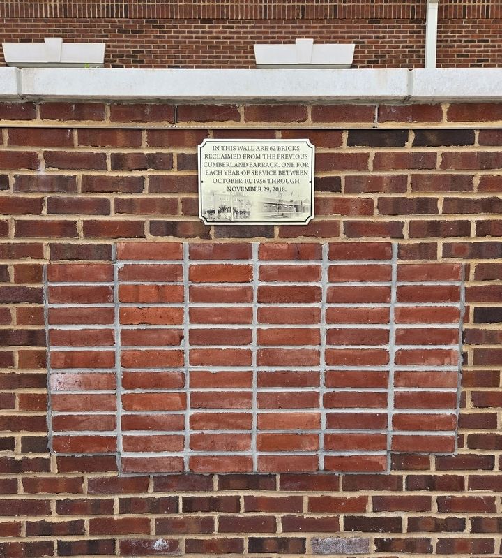
In this wall are 62 bricks reclaimed from the previous Cumberland Barrack. One for each year of service between October 10, 1956 through November 29, 2018.
Erected 2021.
Topics. This historical marker is listed in these topic lists: Architecture • Law Enforcement. A significant historical date for this entry is October 10, 1956.
Location. 39° 38.366′ N, 78° 49.815′ W. Marker is in Lavale, Maryland, in Allegany County. It is at the intersection of National Highway (Alternate U.S. 40) and Campground Road (Maryland Route 658), on the right when traveling west on National Highway. Marker is located behind the flagpoles at the Maryland State Police Building. Touch for map. Marker is at or near this postal address: 1125 National Highway, Cumberland MD 21502, United States of America. Touch for directions.

Regionally, this marker is in Western Maryland. It is also in the American Mid-Atlantic, in Appalachia, and specifically in Northern Appalachia. Globally, it is in North America, the Western Hemisphere, the Western World, and the Anglosphere. Historically, it finds itself in what was once one of the original Thirteen
this page online
Other nearby markers. At least 8 other markers are within 2 miles of this marker, measured as the crow flies: Veterans Memorial (approx. 0.3 miles away); a different marker also named Veterans Memorial (approx. 0.3 miles away); “Spendelow Camp” (approx. 0.4 miles away); The National Road (approx. one mile away); First Toll Gate House (approx. 1.2 miles away); a different marker also named The La Vale Toll House (approx. 1.2 miles away); "The Gateway to the West" (approx. 1.2 miles away); Veterans Marker (approx. 2 miles away).
Other markers no longer nearby. The La Vale Toll House (was approx. 1.1 miles away but has been replaced with another marker now near it); a different marker also named The La Vale Toll House (was approx. 1.2 miles away but has been replaced with another marker now near it).
Regarding The Cumberland Barrack. The two-acre site is at the same location where the previous Cumberland barrack operated for 62 consecutive years prior to its decommissioning in November 2018.
Photographed by Bradley Owen, July 28, 2024
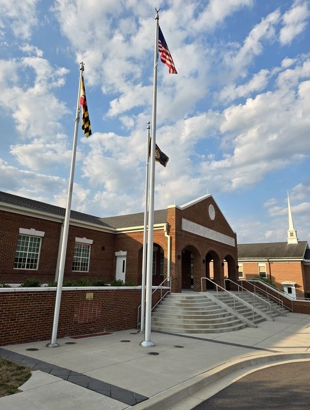
2. The Cumberland Barrack Marker
Marker is located in the wall behind the flagpoles.
Photographed by Bradley Owen, July 28, 2024
3. Marker With The 62 Bricks Below
Photographed by Bradley Owen, July 28, 2024
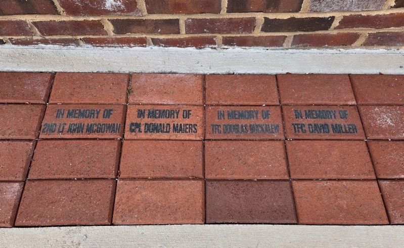
4. In Memory - Names At Ground Level Below The Marker
In Memory of Cpl Donald Maiers
In Memory of Tfc Douglas Buckalew
In Memory of Tfc David Miller
Credits. This page was last revised on July 29, 2024. It was originally submitted on July 29, 2024, by Bradley Owen of Morgantown, West Virginia. This page has been viewed 307 times since then and 92 times this year. Photos: 1, 2, 3, 4. submitted on July 29, 2024, by Bradley Owen of Morgantown, West Virginia.
