Near Fort Hunter in Montgomery County, New York — The American Northeast (Mid-Atlantic)
Two Problems Solved
Schoharie Crossing
| — | State Historic Site | — |
Photographed by Steve Stoessel, July 24, 2024
1. Two Problems Solved Marker
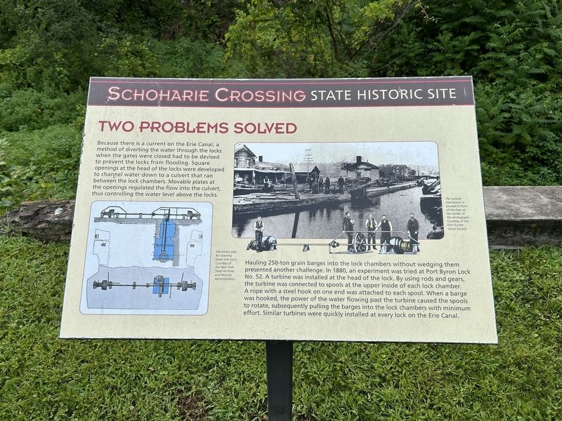
Because there is a current on the Erie Canal, a method of diverting the water through the locks when the gates were closed had to be devised to prevent the locks from flooding. Square openings at the head of the locks were developed to channel water down to a culvert that ran between the lock chambers. Movable plates at the openings regulated the flow into the culvert, thus controlling the water level above the locks.
Hauling 250-ton grain barges into the lock chambers without wedging them presented another challenge. In 1880, an experiment was tried at Port Byron Lock No. 52. A turbine was installed at the head of the lock. By using rods and gears, the turbine was connected to spools at the upper inside of each lock chamber. A rope with a steel hook on one end was attached to each spool. When a barge was hooked, the power of the water flowing past the turbine caused the spools to rotate, subsequently pulling the barges into the lock chambers with minimum effort. Similar turbines were quickly installed at every lock on the Erie Canal.
Topics. This historical marker is listed in this topic list: Waterways & Vessels. A significant historical year for this entry is 1880.
Location. 42° 56.731′ N,
this page online

Regionally, this marker is in Upstate New York and in the Mohawk Valley. It is also in the American Northeast and in the Mid-Atlantic. Globally, it is in North America, the Western Hemisphere, the Western World, and the Anglosphere. Historically, it finds itself in what was once the Haudenosaunee (Iroquois) Confederacy, New Netherland, and one of the original Thirteen Colonies.
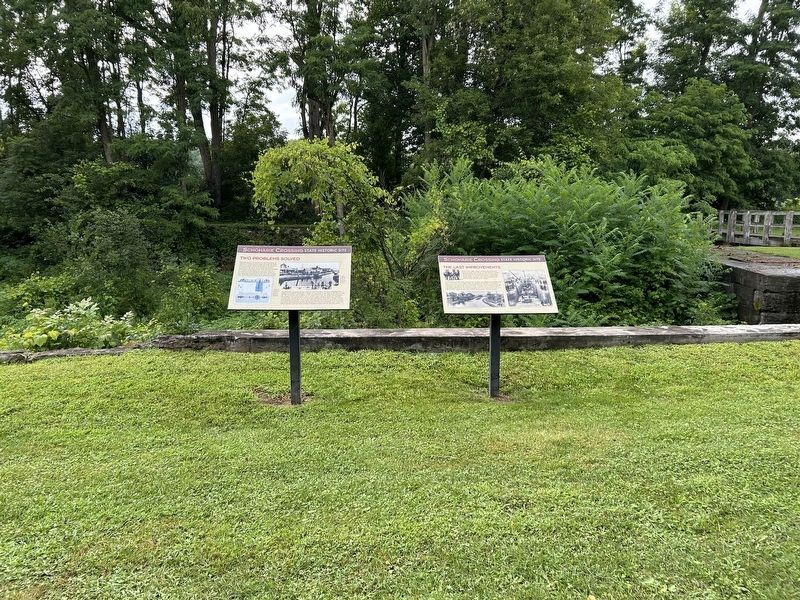
Other nearby markers. At least 8 other markers are within walking distance of this marker: The Last Improvements (here, next to this marker); Enlarged Canal & Lock (about 400 feet away, measured in a direct line); Lock 20 (about 400 feet away); William Harper (approx. ¼ mile away); Queen Anne Parsonage (approx. ¼ mile away); The Aqueduct/History of Lock 28 and 29/The Visitors Center (approx. 0.4 miles
Photographed by Steve Stoessel, July 24, 2024
2. Two Problems Solved Marker
Also see . . .
1. Schoharie Crossing State Historic Site (Wikipedia). (Submitted on July 30, 2024, by Steve Stoessel of Niskayuna, New York.)
2. The Erie Canal (Wikipedia). (Submitted on July 30, 2024, by Steve Stoessel of Niskayuna, New York.)
Photographed by Steve Stoessel, July 24, 2024
3. Two Problems Solved Marker
Credits. This page was last revised on July 30, 2024. It was originally submitted on July 30, 2024, by Steve Stoessel of Niskayuna, New York. This page has been viewed 116 times since then and 17 times this year. Photos: 1, 2, 3. submitted on July 30, 2024, by Steve Stoessel of Niskayuna, New York.
