
Near Pensacola in Escambia County, Florida — The American South (South Atlantic)
Pump House
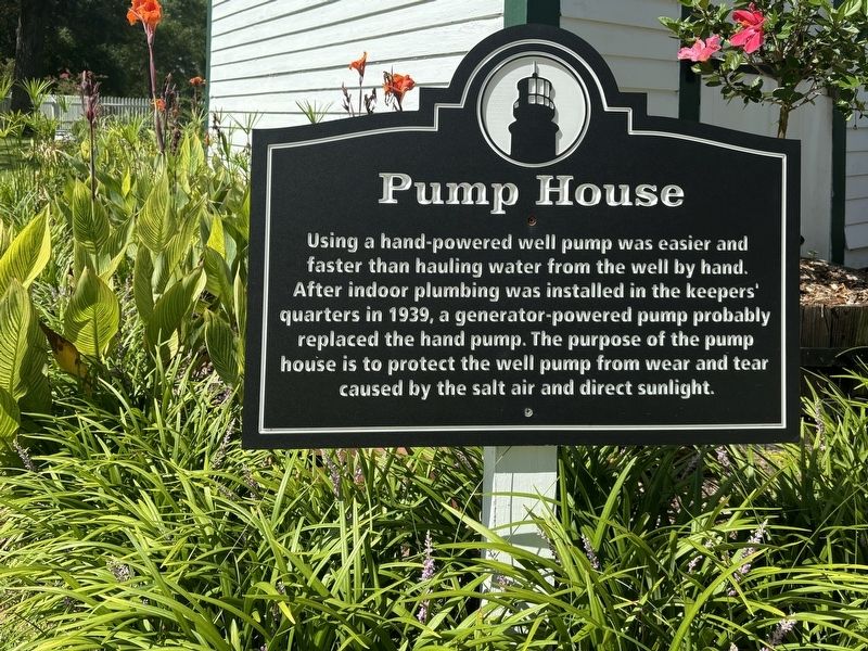
Photographed by Connor Olson, July 28, 2024
1. Pump House Marker
Topics. This historical marker is listed in this topic list: Waterways & Vessels. A significant historical year for this entry is 1939.
Location. 30° 20.755′ N, 87° 18.511′ W. Marker is near Pensacola, Florida, in Escambia County. It can be reached from the intersection of Radford Boulevard and San Carlos Road, on the left when traveling west. Touch for map. Marker is at or near this postal address: 2081 Radford Blvd, Pensacola FL 32508, United States of America. Touch for directions.

Regionally, this marker is on the Florida Panhandle. It is also in the American South, specifically in the Deep South, and on the Gulf Coast. Globally, it is in the North Atlantic Region, North America, a Gulf of Mexico state, the Western Hemisphere, the Western World, and the Anglosphere.
this page online
Other nearby markers. At least 8 other markers are within walking distance of this marker: 19th Century Well (here, next to this marker); Carriage House (a few steps from this marker); Keepers’ Quarters (within shouting distance of this marker); Pensacola Lighthouse (within shouting distance of this marker); Lighthouses and Range Markers (within shouting distance of this marker); The Privy (within shouting distance of this marker); Pelicans In Paradise (about 500 feet away, measured in a direct line); USS Antietam (CV-36) Anchor (approx. 0.3 miles away). Touch for a list and map of all markers in Pensacola.
Also see . . . Pensacola Lighthouse and Maritime Museum. (Submitted on July 31, 2024.)
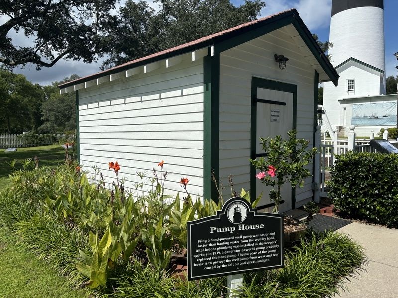
Photographed by Connor Olson, July 28, 2024
2. Pump House and Marker
Credits. This page was last revised on July 31, 2024. It was originally submitted on July 30, 2024, by Connor Olson of Menomonee Falls, Wisconsin. This page has been viewed 216 times since then and 22 times this year. Photos: 1, 2. submitted on July 30, 2024, by Connor Olson of Menomonee Falls, Wisconsin. • Bernard Fisher was the editor who published this page.
