Columbia in Lancaster County, Pennsylvania — The American Northeast (Mid-Atlantic)
Columbia
| — | Mountville - 4 | — |
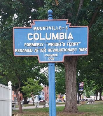
Photographed by Annette Fillmore, July 30, 2024
1. Columbia Marker
The tree behind the sign has been removed since 2023.
Renamed after Revolutionary War
Founded
1726
Topics and series. This historical marker is listed in these topic lists: Colonial Era • Settlements & Settlers. In addition, it is included in the Pennsylvania Keystone Markers series list. A significant historical year for this entry is 1726.
Location. 40° 2.029′ N, 76° 29.942′ W. Marker is in Columbia, Pennsylvania, in Lancaster County. It is on Lancaster Avenue (Pennsylvania Route 462) east of Locust Street, on the right when traveling west. This marker is located in Locust Street Park. Touch for map. Marker is at or near this postal address: 550 Locust Street, Columbia PA 17512, United States of America. Touch for directions.

Regionally, this marker is in South-Central Pennsylvania, specifically in Pennsylvania Dutch Country, and in the Susquehanna Valley. It is also in the American Northeast and in the Mid-Atlantic. Globally, it is in North America, the Western Hemisphere, the Western World, and the Anglosphere. Historically, it finds itself in what was once the Haudenosaunee (Iroquois) Confederacy and also one of the original
this page online
Other nearby markers. At least 8 other markers are within walking distance of this marker: "The Returned Soldier" (a few steps from this marker); Samuel Wright (within shouting distance of this marker); U.S. Submarine Veterans (within shouting distance of this marker); Samuel & Lillian Evans Homestead (about 400 feet away, measured in a direct line); Keystone Hook & Ladder Company (about 700 feet away); Central National Bank of Columbia (approx. 0.2 miles away); Schroeder & Hinkle Pharmacy (approx. ¼ mile away); Columbia Market House (approx. ¼ mile away). Touch for a list and map of all markers in Columbia.
Also see . . . Columbia (Mountville - 4). The Keystone Marker Trust page for this sign, showing older images. (Submitted on July 30, 2024, by Annette Fillmore of York, Pennsylvania.)
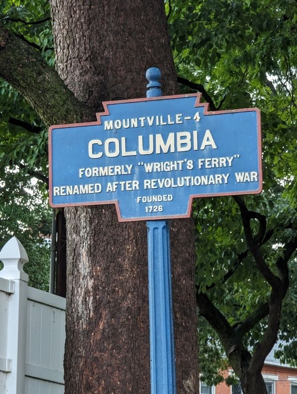
Photographed by William Pope, July 9, 2023
2. Columbia Marker
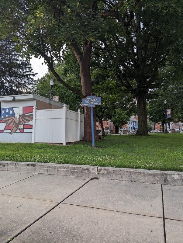
Photographed by William Pope, July 9, 2023
3. Columbia Marker
Credits. This page was last revised on August 3, 2024. It was originally submitted on July 10, 2023, by William Pope of Marietta, Pennsylvania. This page has been viewed 308 times since then and 16 times this year. Last updated on July 30, 2024, by Annette Fillmore of York, Pennsylvania. Photos: 1. submitted on July 30, 2024, by Annette Fillmore of York, Pennsylvania. 2, 3. submitted on July 10, 2023, by William Pope of Marietta, Pennsylvania. • Devry Becker Jones was the editor who published this page.
