New Town in Mountrail County, North Dakota — The American Midwest (Upper Plains)
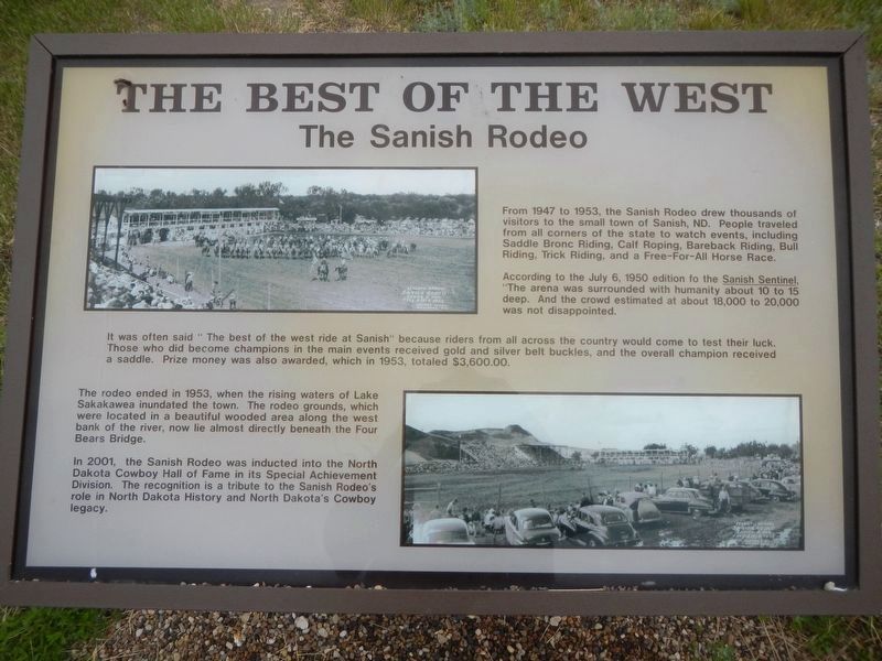
The Best of the West
The Sanish Rodeo
Photographed by Barry Swackhamer
1. The Best of the West Marker
According to the July 6, 1950 edition of the Sanish Sentinel " (sic) The arena was surrounded with humanity about 10 to 15 deep. And the crowd estimated at about 18,000 to 20,000 was not disappointed.
It was often said " The best of the west ride at Sanish" because riders from all across the country would come to test their luck. Those who did become champions in the main events received gold and silver bell buckets, and the overall champions received a saddle. Prize money was also awarded, which in 1953, totaled $3,600.00.
The rodeo ended in 1953, when the rising waters of Lake Sakakawea inundated the town. The rodeo grounds, which were located in a beautiful wooded area along the west bank of the river now lies almost directly beneath the Four Bears Bridge.
In 2001, the Sanish Rodeo was inducted into the North Dakota Cowboy Hall of Fame
this page online
Topics. This historical marker is listed in these topic lists: Notable Events • Sports.
Location. 47° 58.931′ N, 102° 32.739′ W. Marker is in New Town, North Dakota, in Mountrail County. It can be reached from State Highway 23 near 2nd Street Northwest. The marker is located at Crow Flies High Historic Site. Touch for map. Marker is in this post office area: New Town ND 58763, United States of America. Touch for directions.

Regionally, this marker is in the Mandan, Hidatsa, and Arikara Nation, and in the Bakken Oil Patch. It is also in the American Lewis & Clark Corridor, on the prairies, and on the Northern Plains. Globally, it is in North America, the Western Hemisphere, the Western World, and the Anglosphere. Historically, it finds itself in what was once Rupert’s Land and also the Louisiana Purchase.
Other nearby markers. At least 5 other markers are within 14 miles of this marker, measured as the crow flies: Crow Flies High

Photographed by Barry Swackhamer
2. The Best of the West Marker
Four Bears Bridge below.
More about this marker. Crow Flies High Historic Site is at the end of an unnamed, short roast leading north from North Dakota Highway 23.
Credits. This page was last revised on July 31, 2024. It was originally submitted on July 31, 2024, by Barry Swackhamer of Brentwood, California. This page has been viewed 219 times since then and 47 times this year. Photos: 1, 2. submitted on July 31, 2024, by Barry Swackhamer of Brentwood, California.
