Allatoona in Bartow County, Georgia — The American South (South Atlantic)
Refuge From Deadly Fire

Photographed by Tom Bosse, June 8, 2024
1. Refuge From Deadly Fire Marker
Captions
Private John D. Jones, 39th Mississippi Infantry, fought at the Battle of Allatoona Pass. Jones died at the Battle of Franklin, Tennessee, on November 30, 1864. Franklin is remembered as one of the few night battles of the Civil War. Photograph courtesy of "The Confederate Army 1861-1865: South Carolina and Mississippi" by Ron Field
The Battle Of Allatoona Pass, "Harper's Weekly" November 19, 1864
Help Us Preserve Our History - Please Do Not Walk On Earthworks Or Trenches
Erected by Georgia State Parks & Historic Sites.
Topics. This historical marker is listed in this topic list: War, US Civil. A significant historical date for this entry is November 19, 1864.
Location. 34° 6.878′ N, 84° 42.906′ W. Marker is in Allatoona, Georgia, in Bartow County. It can be reached from
this page online

Regionally, this marker is in the Mountains. It is also in the American South and specifically in the Deep South. Globally, it is in North America, the Western Hemisphere, the Western World, and the Anglosphere. Historically, it finds itself in what was once the original Cherokee Nation, the territory of the Mississippian Culture, one of the original Thirteen Colonies, one of the Confederate States of America, and the Antebellum South.
Other nearby markers. At least 8 other markers are within walking distance of this marker: Wisconsin (here, next to this marker); Minnesota (a few steps from this marker); The Memorial Field (a few steps from this marker); Ohio (a few steps from this marker); Texas (a few steps from this marker); Missouri (a few steps from this marker); Illinois (a few steps from this marker); Iowa (within shouting distance of this marker).

Photographed by Tom Bosse, June 8, 2024
2. Refuge From Deadly Fire Marker
Also see . . . Allatoona Pass Battlefield. Georgia State Parks & Historic Sites. (Submitted on August 1, 2024.)

Photographed by Tom Bosse, June 8, 2024
3. Confederate Earthworks
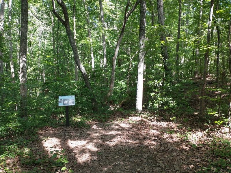
Photographed by Tom Bosse, June 8, 2024
4. Refuge From Deadly Fire Marker
Credits. This page was last revised on August 2, 2024. It was originally submitted on July 31, 2024, by Tom Bosse of Jefferson City, Tennessee. This page has been viewed 186 times since then and 31 times this year. Photos: 1, 2, 3, 4. submitted on July 31, 2024, by Tom Bosse of Jefferson City, Tennessee. • Bernard Fisher was the editor who published this page.
