
Roscoe near Ogallala in Keith County, Nebraska — The American Midwest (Upper Plains)
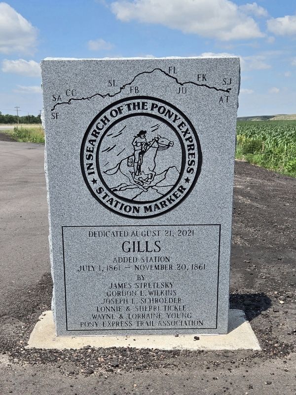
Gills Added Station
| — | In Search of the Pony Express | — |
Photographed by Mark Parker, June 27, 2024
1. Gills Added Station Marker
Gills Added Station
July 1, 1861-November 20, 1861
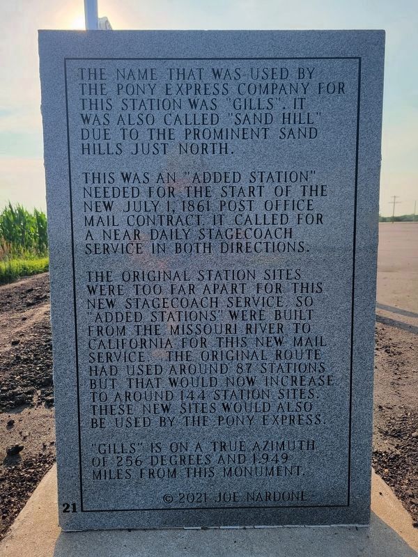
The name that was used by the Pony Express Company for this station was "Gills". It was also called "Sand Hill" due to the prominent sand hills just north. This was an "added station" needed for the start of the new July 1, 1861 post office mail contract. It called for a near daily stagecoach service in both directions. The original station sites were too far apart for this new stagecoach service, so "added stations" were built from the Missouri River to California for this new mail service. The original route had used around 87 stations but that would now increase to around 144 station sites. These new sites would also be used by the Pony Express. "Gills" is on a true azimuth of 256 degrees and 1.949 miles from this monument.
Erected 2021 by Pony Express Trail Association.
Topics. This historical marker is listed in these topic lists: Communications • Roads & Vehicles • Settlements & Settlers. A significant historical date for this entry is July 1, 1861.
Location. 41° 7.769′ N, 101° 36.998′ W. Marker is near Ogallala, Nebraska, in Keith County. It is in Roscoe.
this page online

Regionally, this marker is in Central Nebraska. It is also in the American Midwest, in the Corn Belt, on the prairies, on the Great Plains, and specifically on the High Plains. Globally, it is in North America, the Western Hemisphere, the Western World, and the Anglosphere. Historically, it finds itself in what was once the Louisiana Purchase.
Other nearby markers. At least 8 other markers are within 6 miles of this marker, measured as the crow flies: Escape of the Northern Cheyenne (a few steps from this marker); Court House Rock, Chimney Rock and Scott’s Bluffs (approx. 0.9 miles away); Ogallala and the Platte Valley (approx. 0.9 miles away); Ash Hollow (approx. 0.9 miles away); Alkalie Original Station (approx. 5.1 miles away); Alkali Station (approx. 5.1 miles away); The Great Platte River Road (approx. 5.3 miles away); a different marker also named The Great Platte River Road (approx.
Photographed by Jeremy Snow, July 19, 2024
2. Gills Added Station Marker Reverse
More about this marker. An informational sign on U.S. 30 directs travelers to these markers.

Photographed by Mark Parker, June 27, 2024
3. Wide view of Gills Added Station Marker located next to Escape of the Northern Cheyenne Marker
Credits. This page was last revised on August 3, 2024. It was originally submitted on July 26, 2024, by Mark Parker of Hickory, North Carolina. This page has been viewed 255 times since then and 38 times this year. Last updated on August 2, 2024, by Jeremy Snow of Cedar City, Utah. Photos: 1. submitted on July 26, 2024, by Mark Parker of Hickory, North Carolina. 2. submitted on August 2, 2024, by Jeremy Snow of Cedar City, Utah. 3. submitted on July 27, 2024, by Mark Parker of Hickory, North Carolina. • J. Makali Bruton was the editor who published this page.
