Port Stanley in Elgin County, Ontario — Central Canada (North America)
Commemoration of Port Stanley Harbour
1827 - 1939
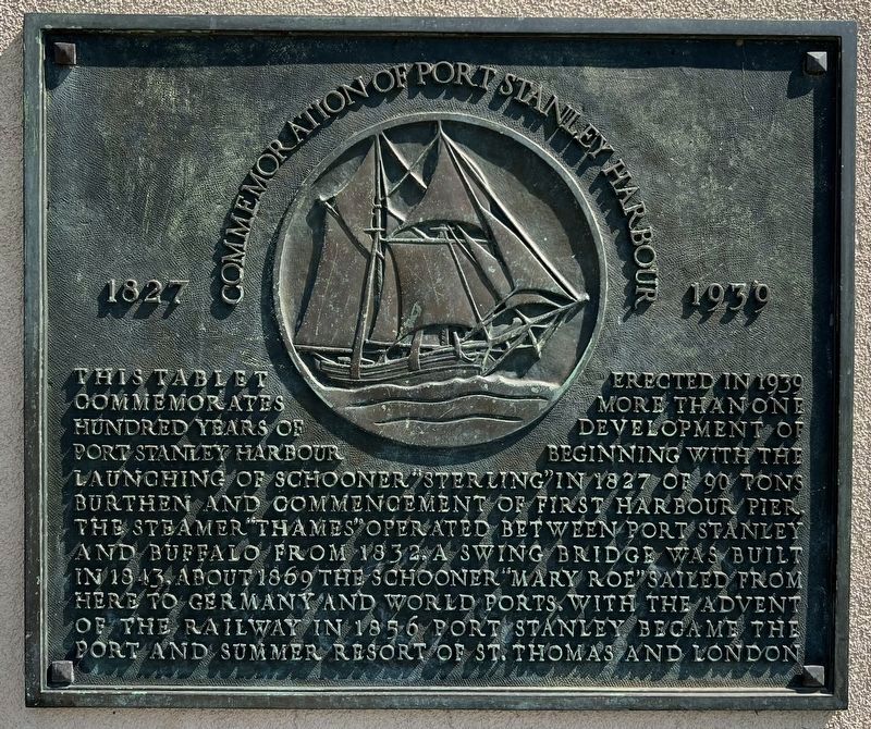
Photographed by Tim Boyd, July 27, 2024
1. Commemoration of Port Stanley Harbour Marker
Erected 1939.
Topics. This historical marker is listed in these topic lists: Bridges & Viaducts • Railroads & Streetcars • Waterways & Vessels. A significant historical year for this entry is 1827.
Location. 42° 39.918′ N, 81° 12.823′ W. Marker is in Port Stanley, Ontario, in Elgin County. It is on Bridge Street, on the right when traveling west. Marker is at the southeast pier of the King George VI lift bridge. Touch for map. Marker is at or near this postal address: 308 Bridge Street, Port Stanley ON, Canada. Touch for directions.

Regionally, this marker is in the Southwest Ontario
this page online
Other nearby markers. At least 8 other markers are within 11 kilometers of this marker, measured as the crow flies: The Telegraph Office and the Traction Line (within shouting distance of this marker); Bridges (within shouting distance of this marker); The London and Port Stanley Railroad / Le Chemin de Fer London and Port Stanley (within shouting distance of this marker); Port Stanley (about 150 meters away, measured in a direct line); Lieut.-Col. John Bostwick (approx. 0.6 kilometers away); Col. John Bostwick (approx. 0.6 kilometers away); RCAF Technical Training School / L’École de Formation de L’Aviation Royale du Canada (approx. 8.4 kilometers away); RCAF No. 4 Bombing and Gunnery School (approx. 10.1 kilometers away). Touch for a list and map of all markers in Port Stanley.
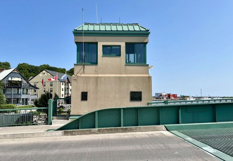
Photographed by Tim Boyd, July 27, 2024
2. Commemoration of Port Stanley Harbour Marker (on the right)
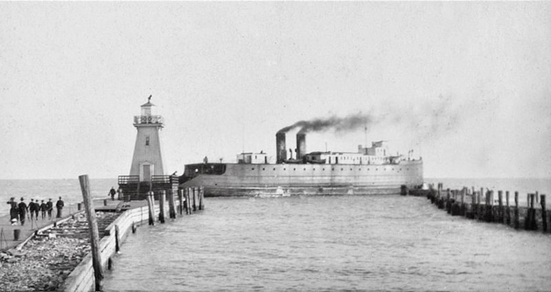
circa 1900
3. Port Stanley pier and lighthouse ca 1900
Source: Elgin County Archives (public domain)
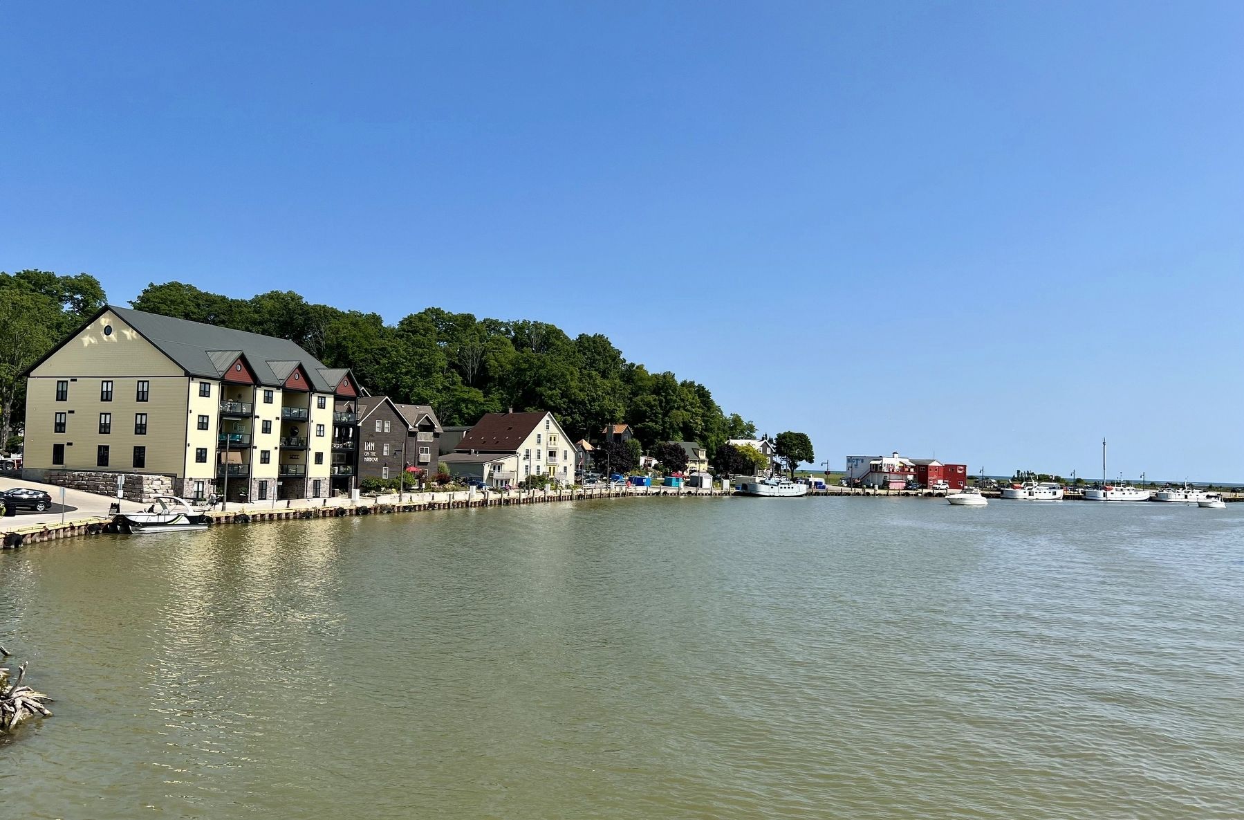
Photographed by Tim Boyd, July 27, 2024
4. Port Stanley harbour, 2024
Credits. This page was last revised on August 4, 2024. It was originally submitted on August 2, 2024, by Tim Boyd of Hamilton, Ontario. This page has been viewed 144 times since then and 37 times this year. Photos: 1, 2, 3, 4. submitted on August 2, 2024, by Tim Boyd of Hamilton, Ontario. • Andrew Ruppenstein was the editor who published this page.
